Close
Close

SIG’s Forest and Agriculture Management Group provides landowners with insights into sustainable agriculture, climate change mitigation, wildfire risk assessment, greenhouse gas emissions accounting, and more.
The Forest and Agriculture Management Group uses geospatial analysis in conjunction with sustainable forestry and vegetation management practices to co-develop streamlined management plans designed to meet your objectives and unlock new opportunities.
In keeping with Spatial Informatics Group’s commitment to open science, we provide private, NGO, Tribal, and governmental land managers with powerful, easy to use online tools to inform their management decisions.
We help clients build landscapes resilient to wildfire, climate change, and other challenges. We design projects that sequester and maintain carbon in forests and agricultural soils. We undertake sustainability assessments, including life cycle assessments and carbon footprinting for wood products. We help managers optimize timber production, analyze and improve water quality, and more.
With SIG’s Forest and Agriculture Group on your team, land management is informed by science and comprehensive geospatial intelligence.

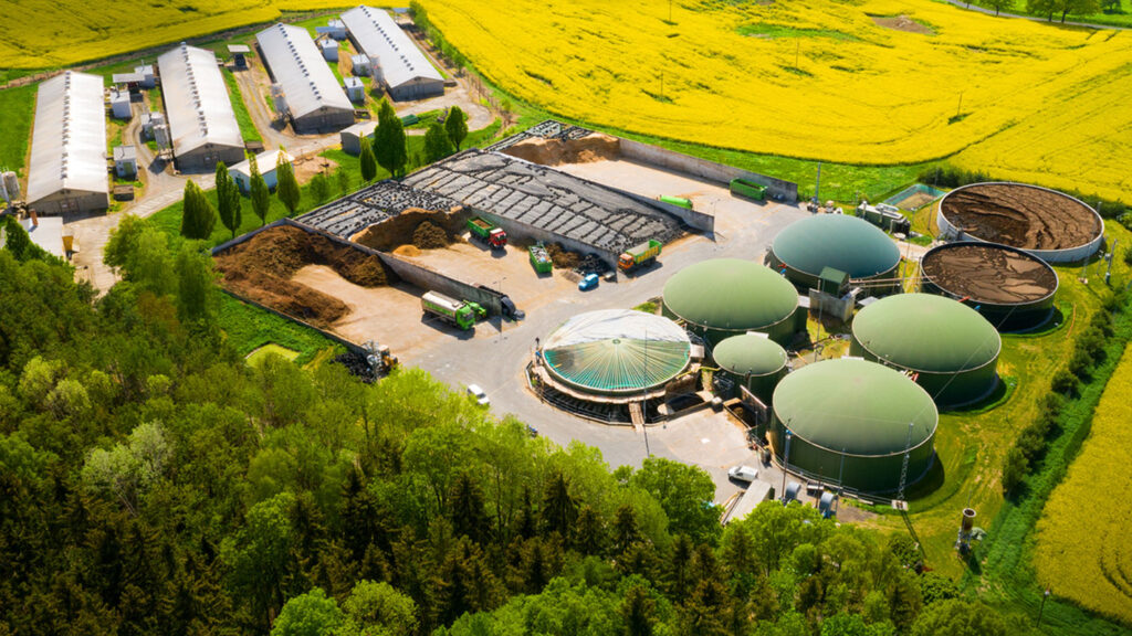
Supporting forestry through life cycle assessments, quantifying greenhouse gas emissions, and supporting the use of bioenergy instead of fossil-fuels.


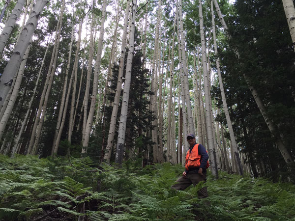
Essentials for forest management while championing sustainability. Take inventory of your forest from layout to growth schedules, and use our Net Present Value modeling to put conservation first in your projects.


Leverage our expertise to discover pathways for sustainable management. Get certified, transition to renewable energy, model and predict land use for future plans, and more.
SIG created a baseline ecotype map of Marin County, California, and studied the GHG implications of various biomass …