Close
Close
Greenhouse gas emissions, changes in forest cover, crop coverage, land classification, and more: If you can measure it, we can map it.
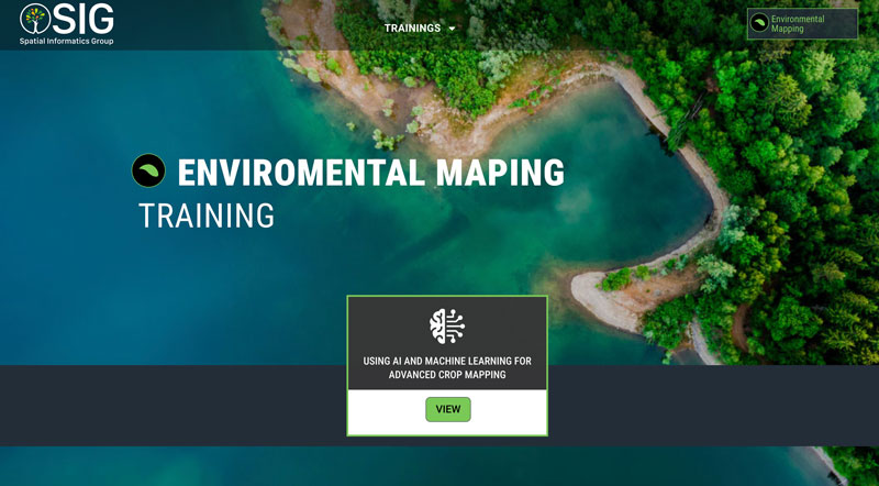
The Environmental Mapping group specializes in using geospatial data and high-resolution satellite imagery to create sophisticated analytical maps in collaboration with our clients. We utilize Google Earth Engine and a suite of open-source programs to improve your analysis, with training resources to ensure your success.
We put advanced geospatial tools in the hands of governments, businesses, NGOs, and local managers and communities around the world, empowering local response and adaptation to environmental changes.



Fast-track your sustainability goals. We operate state-of-the-art GeoAI, including Deep Neural Nets and Foundation Models, and leverage cloud platforms, like Earth Engine and Vertex AI, through our partnership with Google.
Mitigate your impact through detailed greenhouse gas tracking. Get the information you need to reduce uncertainty and accurately estimate emissions.
A joint initiative by NASA and USAID, SERVIR supports local efforts to strengthen climate resilience, food and water security, air quality, and forest and carbon management around the world. SERVIR connect space to village using satellite data and geospatial technology.
SERVIR Amazonia empowers people in the region by developing services in collaboration with local stakeholders. As a consortium member, SIG supports SERVIR Amazonia by providing expertise on geospatial technologies including land use and land cover monitoring, climate suitability models, and ecosystem service evaluations.
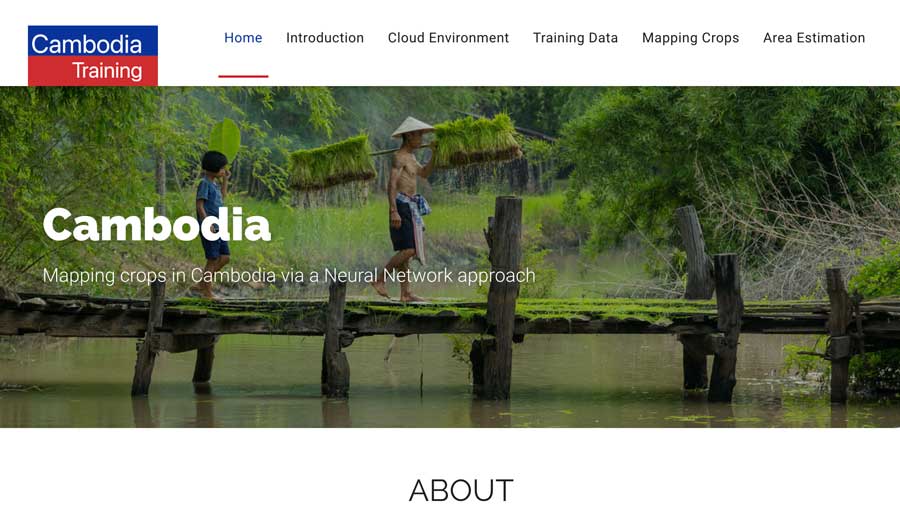
SERVIR Southeast Asia (SEA) seeks to provide developmentally actionable geospatial data that responds to the needs of Southeast Asian countries. Asa consortium member, SIG supports SERVIR SEA through geospatial expertise. Among other tools, SIG has contributed to the creation of the Regional Land Cover Monitoring System (RLCMS) which uses machine learning and AI to provide high-quality, yearly maps for local policymakers to use.
OpenMRV is an open-source, central repository for user-friendly measurement, reporting, and verification (MRV) support resources and instructional materials. SIG supported lead partners of the Global Forest Observation Initiative (GFOI) and the World Bank to write and compile materials for the the initiative.
Open MRV gathers a wide variety of MRV support resources. The goal is to enable countries to develop and implement their own MRV processes without external support. SIG contributed to Open MRV by collecting existing MRV resources to facilitate information-sharing among participating countries and by developing new training resources that help countries use geospatial tools to develop MRV processes.
As an official Google partner, SIG leverages the Google Cloud Platform in the creation of solutions to many of the complex issues our clients and partners face. We harness the power of cutting-edge technologies, including Vertex AI, Earth Engine, Google Maps, and Big Query. Our expertise enables us to address complex spatial challenges effective In recognition of this work we are an eight-time winner of Google’s Geo for Good Impact Awards.
SIG’s long history with these tools enable us to work at multiple levels. In addition to developing geospatial tools based on Google Cloud technologies, our team members produce training materials and train users around the world. Nine SIG team members contributed to the first book to be published on Google Earth Engine, Cloud-based Remotes Sensing with Google Earth Engine.
The Forest Data Partnership (FDaP) is tackling forest loss driven by commodity production by collaboratively improving global monitoring and agricultural supply chain tracking.
As a participant in the initiative, SIG supports FDaP’s initiatives in aligning gaps in key data sets and creating consistent, validated open-source geospatial data, as well as supporting capacity building in key regions. These collaborative efforts to reach consensus around key data sets and fill in data gaps support ensemble modeling approaches to support stakeholders worldwide.
Th United Nations Food and Agricultures Organization (FAO) leads efforts to achieve global food security and defeat world hunger. SIG works with FAO on many initiatives to achieve these goals, leveraging geospatial technology to tackle forest degradation and deforestation, monitoring, forest restoration planning, carbon monitoring, reporting, and verification, and more.
SIG and FAO co-develop tools for forest restoration planning, including se.plan, a cutting edge spatially explicit online tool that helps users target locations where the benefits of forest restoration are high relative to their costs.
Collect Earth Online (CEO), a free, open-source system for viewing and interpreting high-resolution satellite imagery, is also a collaborative product and part of FAO’s OpenForis family of tools.
The Alliance of Bioversity International and the International Center for Tropical Agricultures (CIAT) is dedicated to addressing climate change, biodiversity loss, environmental degradation, and malnutrition.
The Alliance Bioversity & CIAT is a valued partner of SIG, with a long history of collaboration on SERVIR Amazonia. As part of this collaboration, SIG partnered with colleagues at CIAT to develop TerraBio, an innovative biodiversity monitoring framework to evaluate the impacts of implementing sustainable practices in the private sector. TerraBio uses a coupled approach to monitor biodiversity impacts, bringing together customized remote sensing algorithms to detect changes in forest cover with environmental DNA (eDNA) analysis to monitor changes in ecological communities following interventions.
SilvaCarbon is a US government program intended to increase partner tropical nations’ ability to assess, monitor, and report carbon levels in forests and other lands, and reduce deforestation and forest degradation related emissions through financial and technical support. SIG supports SilvaCarbon’s mission by working with them to provide capacity building and implement environmental monitoring initiatives all over the world.
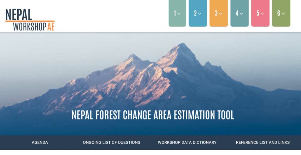
SIG worked with colleagues at SilvaCarbon and Nepal FRTC to develop a new and repeatable methodology for Nepal’s reporting of its forest degradation, loss, and gain. This included capacity building, and creating reusable Google Earth Engine tools for stratified sample design.
Other collaborative projects include the design and implements of forest monitoring in Ethiopia, land cover change analysis in Cameroon, and fire-impact monitoring in the Republic of the Congo and the Democratic Republic of the Congo.
SilvaCarbon is also a valued partner in the development of Collect Earth Online.
