Forest Carbon Analysis Tool

Spatial Informatics Group and its partners needed a way to model carbon mitigation impacts in forestlands. So we built FCAT. This system automates SIG’s open science Reduced Emissions from Megafires methodology to quantify and monetize carbon emissions avoided through forest treatments that reduce the severity and scope of wildfires.
Mapping Forest Degradation In Nepal With Remote Sensing

Under international climate change agreements, countries must estimate greenhouse gas emissions related to deforestation and forest degradation.
In cases of deforestation—when trees are cut and replaced by annual crops, for instance—the change in land cover is clearly visible. Forest degradation, by contrast, is more subtle. Trees are lost but the land remains forested and often recovers quickly—making the changes hard to detect.
As Science Funding Decreases, Technology May Protect Our Ecological Future

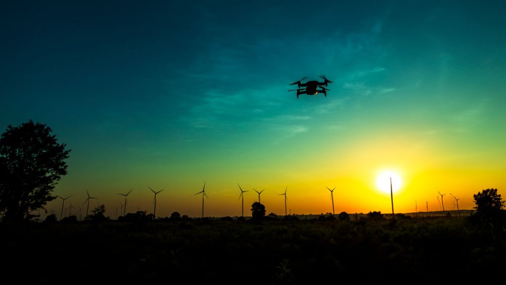
In an increasingly populated, financially-strained, and ecologically-stressed world, scientists are facing mounting pressure to find quick answers to social and environmental challenges. But, In the field of ecology, solutions almost never come quickly. They take miles of hiking through uninviting terrain, months of laboratory sample testing, and weeks of data analyses to devise some of the most basic answers to the most basic questions. Fortunately for ecologists, new uses of technology, particularly airborne remote-sensing technology, are helping them obtain these answers more quickly than they were able to only a few years ago.
