As Science Funding Decreases, Technology May Protect Our Ecological Future

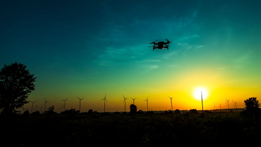
In an increasingly populated, financially-strained, and ecologically-stressed world, scientists are facing mounting pressure to find quick answers to social and environmental challenges. But, In the field of ecology, solutions almost never come quickly. They take miles of hiking through uninviting terrain, months of laboratory sample testing, and weeks of data analyses to devise some of the most basic answers to the most basic questions. Fortunately for ecologists, new uses of technology, particularly airborne remote-sensing technology, are helping them obtain these answers more quickly than they were able to only a few years ago.
SIG And The University Of Vermont-Spatial Analysis Lab (UVM-SAL) Partner To Offer High-Resolution Imagery For Small Area Mapping

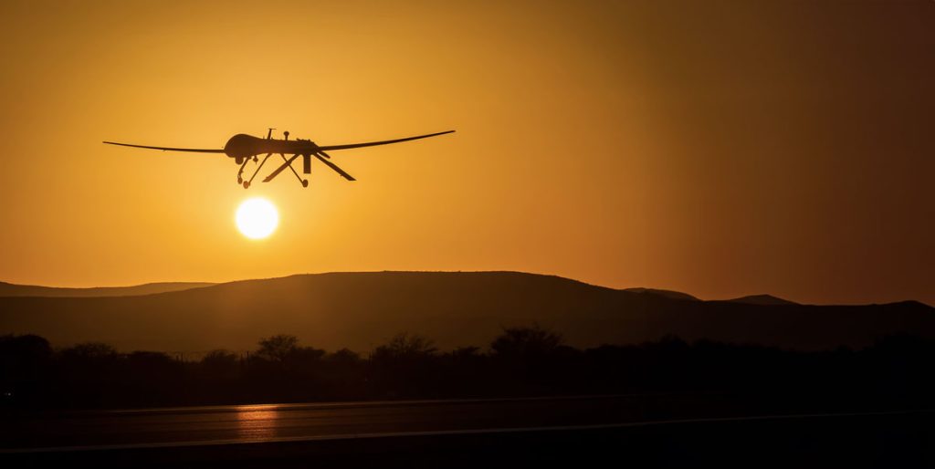
A picture is worth a thousand words, but it helps to have the right picture for your application. That is why SIG is partnering with the University of Vermont-Spatial Analysis Lab to offer a full range of remote sensing and geospatial analysis services that includes the deployment of Unmanned Aircraft Systems (UAS).
Financing Energy Transformation At The Subnational Level In Latin America

SIG co-developed software to remotely monitor gold mining activity in Colombia. Illegal mining is a driver of deforestation and this project aims to empower authorities to respond quickly and appropriately. CoMiMo, which is available for desktop in both English and Spanish, uses satellite imagery and artificial intelligence to identify threatened areas.

