Preventing California’s Catastrophic Wildfires Requires Careful Forest Management
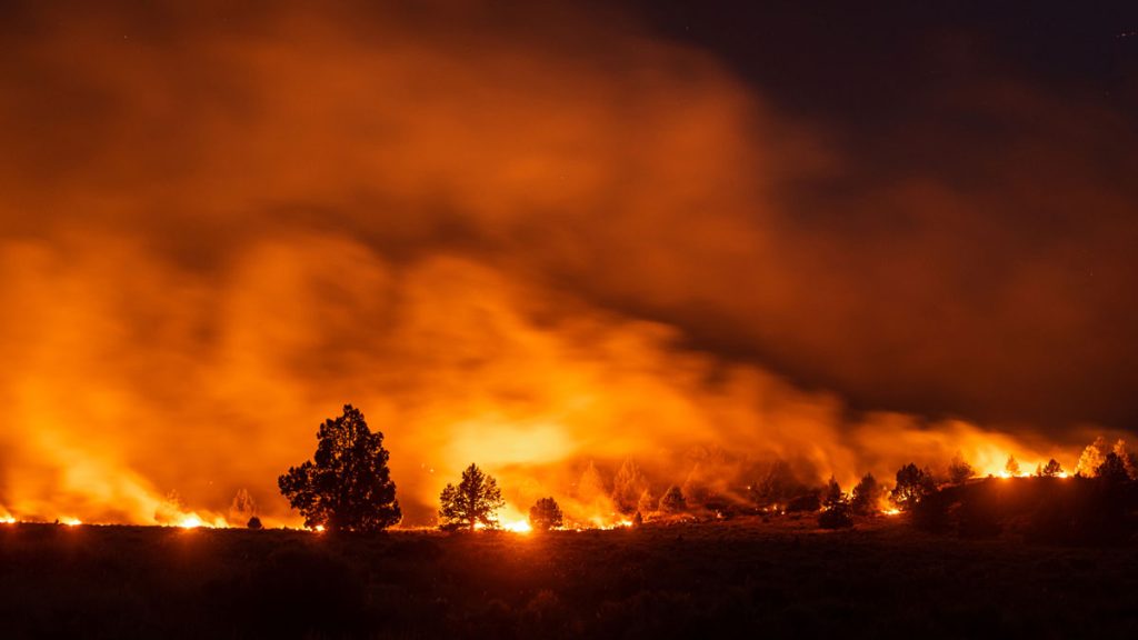
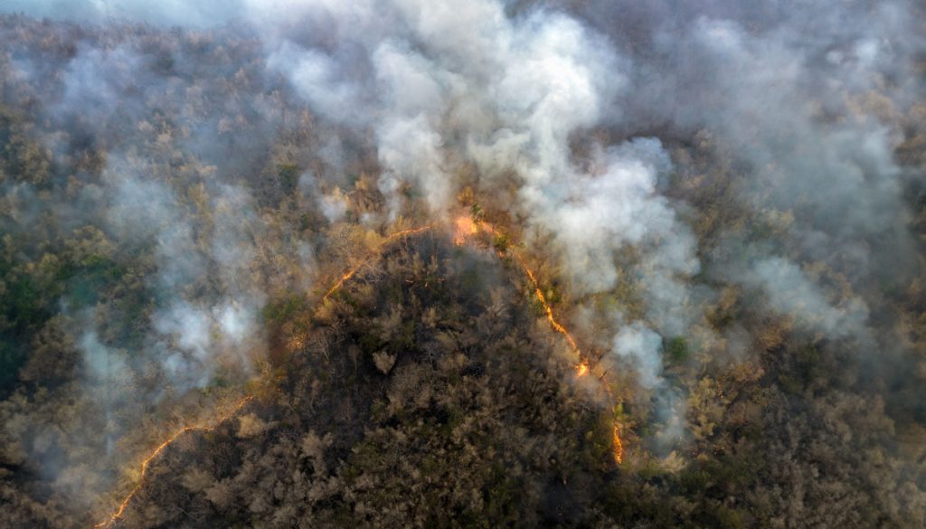
In 2015, the world experienced the strongest El Niño year on record, and forest fires tore through homes, businesses and lives in many parts of the world – one of which was California. That year 150,000 acres burned in the state, costing over USD $1 billion in insurance claims.
As Science Funding Decreases, Technology May Protect Our Ecological Future
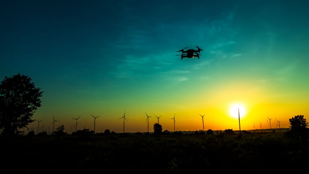
In an increasingly populated, financially-strained, and ecologically-stressed world, scientists are facing mounting pressure to find quick answers to social and environmental challenges. But, In the field of ecology, solutions almost never come quickly. They take miles of hiking through uninviting terrain, months of laboratory sample testing, and weeks of data analyses to devise some of the most basic answers to the most basic questions. Fortunately for ecologists, new uses of technology, particularly airborne remote-sensing technology, are helping them obtain these answers more quickly than they were able to only a few years ago.
For Indonesia’s Wildfires, There Are No Easy Solutions
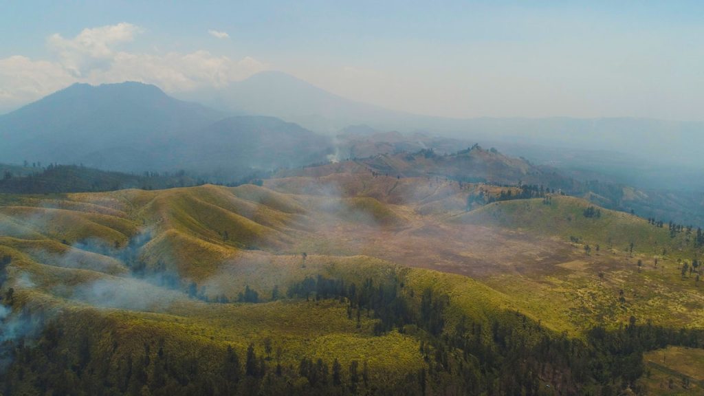
This week, we’re blogging about SIG’s work on reducing wildfire impacts in Indonesia and California. Fires in both regions have similar financial and health impacts, but differ in behavior. In Indonesia, even the ground itself can burn, requiring unique management approaches. Lessons learned in each place can inform solutions in the other.
SIG And The University Of Vermont-Spatial Analysis Lab (UVM-SAL) Partner To Offer High-Resolution Imagery For Small Area Mapping
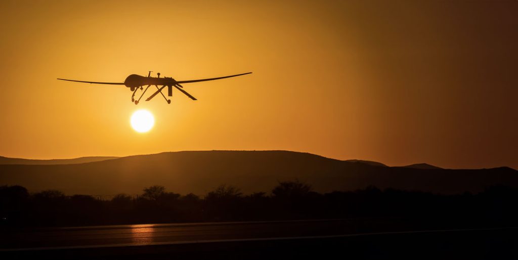
A picture is worth a thousand words, but it helps to have the right picture for your application. That is why SIG is partnering with the University of Vermont-Spatial Analysis Lab to offer a full range of remote sensing and geospatial analysis services that includes the deployment of Unmanned Aircraft Systems (UAS).
SIG Working In Kenya On Biomass Supply Chain
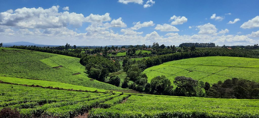
Dr. Thomas Buchholz, Senior Scientist at SIG, will be in Kenya this spring to provide assistance in biomass supply chain management to the Kenya Tea Development Agency (KTDA). He is collaborating with the Strathmore Energy Research Centre based at Strathmore University in Nairobi on this task. KTDA is in need to provide a more secure, cost-effective, and sustainable fuelwood supply over the long-term. To meet those needs, KTDA is looking at various alternatives and monitoring programs for their currently small-scale farmer based fuelwood sourcing strategy. Dr. Buchholz leads the Forest and Agriculture domain at Spatial Informatics Group.
SIG Provides Local Fire Management Training In Sumatra, Indonesia

Brett Shields and Dr Chris Mallek conducted a 5 day fire training course on behalf of the US Forest Service and Burung Indonesia at the Harapan Rainforest site in Jambi, Sumatra (Indonesia). Brett is SIG’s Director for Asia Pacific and Chris is a SIG affiliate with our Natural Hazards team.
Implementing Low Emission Development

SIG attended the 4th LEDS GP meeting in the Dominican Republic, focusing on financing low-emission development and climate resilience strategies.
Low Emission Urban Transportation In Latin America And The Caribbean

Scott Muller, Senior Scientist, led a workshop on Low Emission Urban Transportation in Lima as LAC countries advance climate action plans and targets
Wildfire Most Important Factor In Carbon-Payback Period For Forest Biomass Energy Projects
SIG co-developed software to remotely monitor gold mining activity in Colombia. Illegal mining is a driver of deforestation and this project aims to empower authorities to respond quickly and appropriately. CoMiMo, which is available for desktop in both English and Spanish, uses satellite imagery and artificial intelligence to identify threatened areas.
Financing Energy Transformation At The Subnational Level In Latin America
SIG co-developed software to remotely monitor gold mining activity in Colombia. Illegal mining is a driver of deforestation and this project aims to empower authorities to respond quickly and appropriately. CoMiMo, which is available for desktop in both English and Spanish, uses satellite imagery and artificial intelligence to identify threatened areas.
