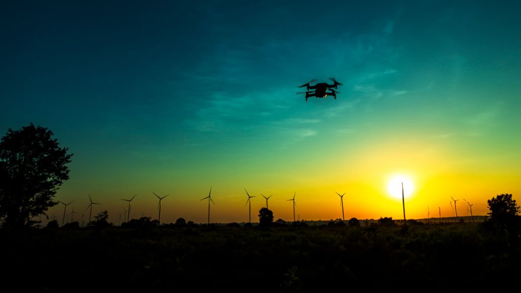
Spatial Informatics Group (SIG) And The University Of Vermont (UVM) Team Up To Demonstrate Small Unmanned Aircraft System (SUAS) Remote Sensing Capabilities In The Lake Tahoe Region
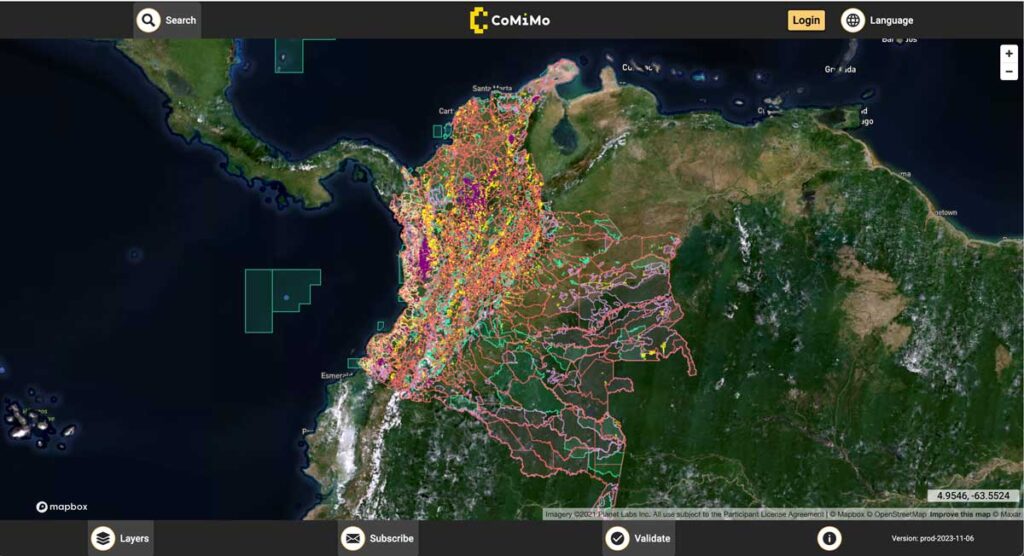
SIG co-developed software to remotely monitor gold mining activity in Colombia. Illegal mining is a driver of deforestation and this project aims to empower authorities to respond quickly and appropriately. CoMiMo, which is available for desktop in both English and Spanish, uses satellite imagery and artificial intelligence to identify threatened areas.
Synthetic Aperture Radar Forest Disturbance Alert System
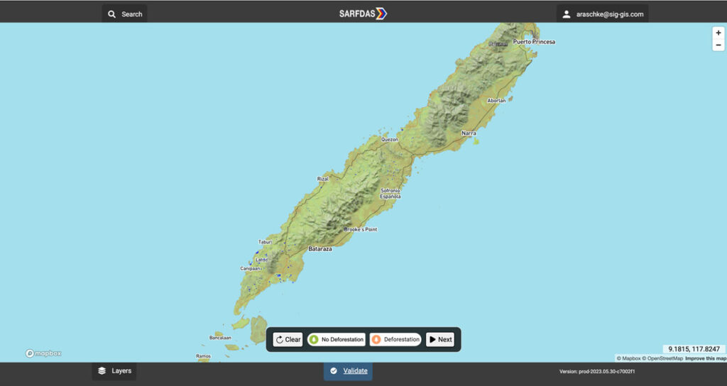
The Synthetic Aperture Radar Forest Disturbance Alert System (SARFDAS) is a powerful tool for detecting forest disturbances, integrating state-of-the-art technologies, automation, and human-based verification in a clean web interface for more timely and accurate decision-making and field response. SARFDAS leverages Synthetic Aperture Radar from the European Space Agency to identify forest disturbances even under inclement conditions when multispectral satellite imagery is patchy.
Cultivating Success: Cambodia’s Crop Mapping Powered By Tensorflow And Google Earth Engine
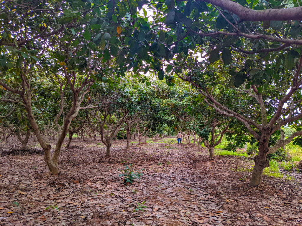
To ensure that the initiatives developed adequately addressed Cambodia’s needs, SIG teams worked closely with the Cambodian Department of Agriculture and Land Resource Management (DALRM), identifying gaps in the existing data and developing a remote sensing-based approach to improve existing methods of crop mapping.
Simple Tech For Land Management: Training Local Users For Faster, Cost-Effective Results

Tribal leaders in remote Vietnam now use e-tablets to map lands, showing how tech helps rural communities leapfrog development and modernize.
SERVIR-Amazonia Brings Data To The Ground For Better Decision-Making In The Amazon
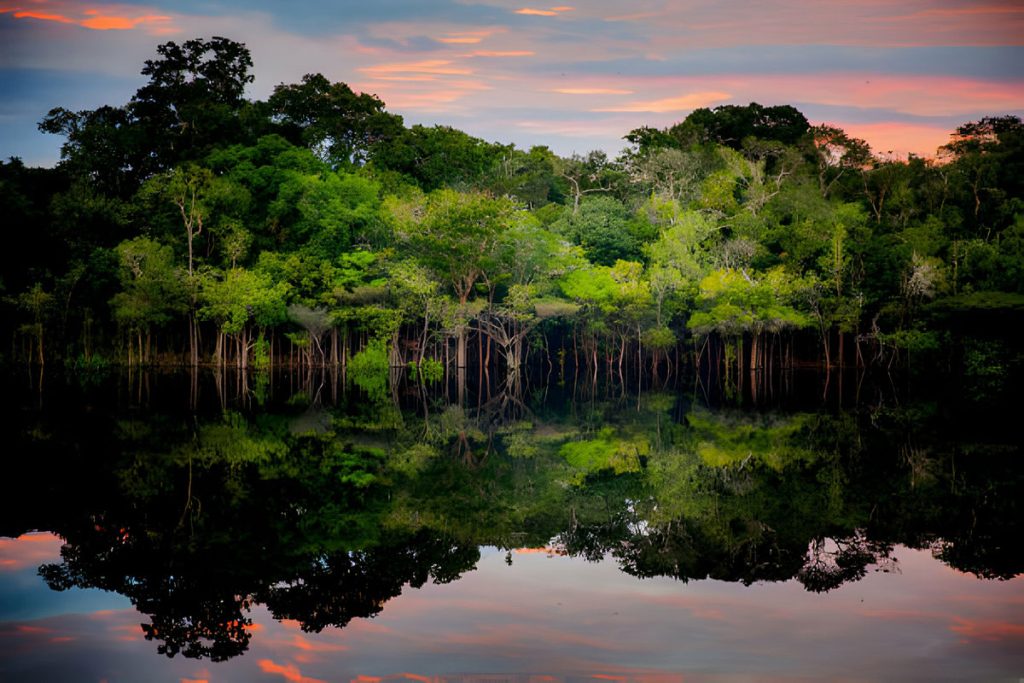
Followers of environmental issues in the Amazon scarcely go a week without seeing news about threats to the biome. The region has been devastated with countless and constant hazards. For example, each year it experiences natural hazards like wetland degradation, salinization, destructive flooding, and severe fires, all compounded by climate change.
As Science Funding Decreases, Technology May Protect Our Ecological Future
In an increasingly populated, financially-strained, and ecologically-stressed world, scientists are facing mounting pressure to find quick answers to social and environmental challenges. But, In the field of ecology, solutions almost never come quickly. They take miles of hiking through uninviting terrain, months of laboratory sample testing, and weeks of data analyses to devise some of the most basic answers to the most basic questions. Fortunately for ecologists, new uses of technology, particularly airborne remote-sensing technology, are helping them obtain these answers more quickly than they were able to only a few years ago.
For Indonesia’s Wildfires, There Are No Easy Solutions
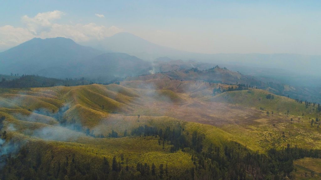
This week, we’re blogging about SIG’s work on reducing wildfire impacts in Indonesia and California. Fires in both regions have similar financial and health impacts, but differ in behavior. In Indonesia, even the ground itself can burn, requiring unique management approaches. Lessons learned in each place can inform solutions in the other.
SIG And The University Of Vermont-Spatial Analysis Lab (UVM-SAL) Partner To Offer High-Resolution Imagery For Small Area Mapping
A picture is worth a thousand words, but it helps to have the right picture for your application. That is why SIG is partnering with the University of Vermont-Spatial Analysis Lab to offer a full range of remote sensing and geospatial analysis services that includes the deployment of Unmanned Aircraft Systems (UAS).