SIG Presents LiDAR Based Projects In Tahoe
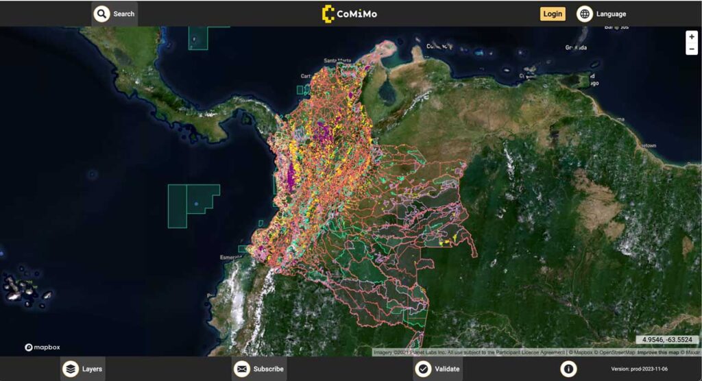
SIG co-developed software to remotely monitor gold mining activity in Colombia. Illegal mining is a driver of deforestation and this project aims to empower authorities to respond quickly and appropriately. CoMiMo, which is available for desktop in both English and Spanish, uses satellite imagery and artificial intelligence to identify threatened areas.
HYDRAFloods
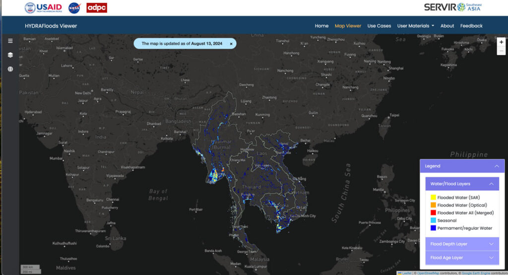
As part of SERVIR-SEA and with the Asian Disaster Preparedness Center (ADPC), SIG developed HYDRAFloods, public access flood monitoring software that detects flood events in near real-time through the use of satellite data. Artificial intelligence tools within Google Earth Engine make the program even better at detecting surface water levels, speeding up the process to keep people safe.
Mapping Forest Degradation In Nepal With Remote Sensing
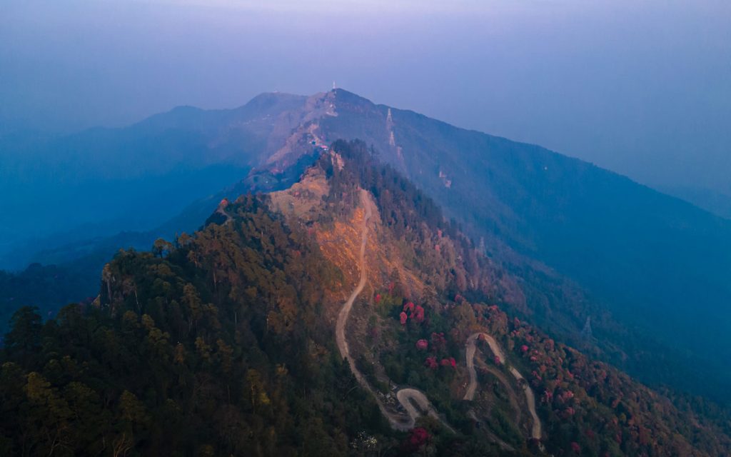
Under international climate change agreements, countries must estimate greenhouse gas emissions related to deforestation and forest degradation.
In cases of deforestation—when trees are cut and replaced by annual crops, for instance—the change in land cover is clearly visible. Forest degradation, by contrast, is more subtle. Trees are lost but the land remains forested and often recovers quickly—making the changes hard to detect.
SIG Works With Google And Other Partners On New Tools That Democratize Offline Mapping

Spatial Informatics Group (SIG) contributed to a fascinating mapping project described in a new post on the Google Earth and Earth Engine Medium page.
Google partnered with CIAT, SERVIR-Amazonia, SIG, and other groups on two pilot projects involving Ground, an open-source data platform that works offline—crucial in areas without wireless service—and also seamlessly connects to cloud-based storage and computation. The platform consists of an Android app for offline data collection and a web app for data management.
Simple Tech For Land Management: Training Local Users For Faster, Cost-Effective Results

Tribal leaders in remote Vietnam now use e-tablets to map lands, showing how tech helps rural communities leapfrog development and modernize.
Connecting Space To Village: Bringing Satellite Data To The Ground To Improve Lives
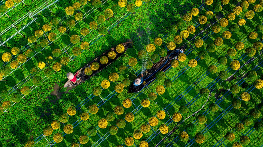
SERVIR has been set up in many regions of the world, and the Lower Mekong Region is one of them. SERVIR-Mekong focuses on predicting seasonal crop yields, assessing how future climate change will impact the region, monitoring the landscape and the ecosystem services it provides, and developing climate change adaptation tools for agriculture, rangelands, fisheries and aquaculture. Over large landscapes, in complex ecosystems, and in a changing climate, people often do not have the information they need to solve local, national, and regional land use challenges.
As Science Funding Decreases, Technology May Protect Our Ecological Future
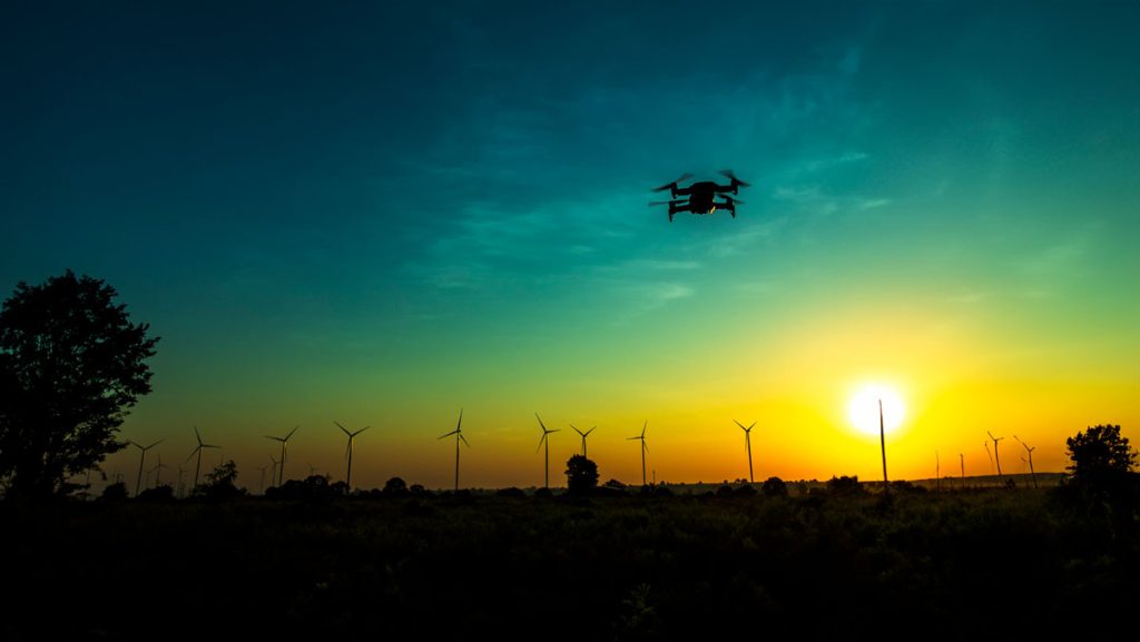
In an increasingly populated, financially-strained, and ecologically-stressed world, scientists are facing mounting pressure to find quick answers to social and environmental challenges. But, In the field of ecology, solutions almost never come quickly. They take miles of hiking through uninviting terrain, months of laboratory sample testing, and weeks of data analyses to devise some of the most basic answers to the most basic questions. Fortunately for ecologists, new uses of technology, particularly airborne remote-sensing technology, are helping them obtain these answers more quickly than they were able to only a few years ago.
SIG And The University Of Vermont-Spatial Analysis Lab (UVM-SAL) Partner To Offer High-Resolution Imagery For Small Area Mapping

A picture is worth a thousand words, but it helps to have the right picture for your application. That is why SIG is partnering with the University of Vermont-Spatial Analysis Lab to offer a full range of remote sensing and geospatial analysis services that includes the deployment of Unmanned Aircraft Systems (UAS).

