Spatial Informatics Group (SIG) And The University Of Vermont (UVM) Team Up To Demonstrate Small Unmanned Aircraft System (SUAS) Remote Sensing Capabilities In The Lake Tahoe Region
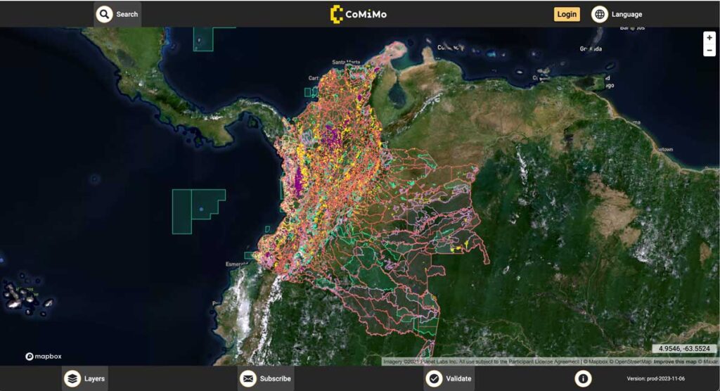
SIG co-developed software to remotely monitor gold mining activity in Colombia. Illegal mining is a driver of deforestation and this project aims to empower authorities to respond quickly and appropriately. CoMiMo, which is available for desktop in both English and Spanish, uses satellite imagery and artificial intelligence to identify threatened areas.
New Report Reveals Wildfire Is Not Just A Public Lands Issue
SIG co-developed software to remotely monitor gold mining activity in Colombia. Illegal mining is a driver of deforestation and this project aims to empower authorities to respond quickly and appropriately. CoMiMo, which is available for desktop in both English and Spanish, uses satellite imagery and artificial intelligence to identify threatened areas.
SIG Participates In The 6th International Wildland Fire Conference, Pyeongchang, Korea
SIG co-developed software to remotely monitor gold mining activity in Colombia. Illegal mining is a driver of deforestation and this project aims to empower authorities to respond quickly and appropriately. CoMiMo, which is available for desktop in both English and Spanish, uses satellite imagery and artificial intelligence to identify threatened areas.
Ecosystem Services Valuation for Hawaii’s Largest Private Landowner
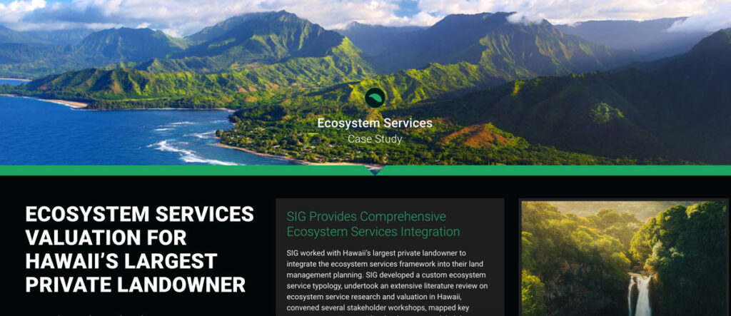
SIG collaborated with Hawaii’s largest private landowner to integrate an ecosystem services framework into land management planning. We developed a custom ecosystem service typology, conducted extensive literature reviews, held stakeholder workshops, mapped key landscapes, modeled connections between landscapes and beneficiaries, reviewed strategies for ecosystem markets, identified high-priority management strategies, and created indicators for landscape health and interventions.
Simple Tech For Land Management: Training Local Users For Faster, Cost-Effective Results

Tribal leaders in remote Vietnam now use e-tablets to map lands, showing how tech helps rural communities leapfrog development and modernize.
Forest Carbon Markets: Native People Quantify The Growing Value Of Native Lands

Carbon markets are based on the premise that sources (greenhouse gas-emitting power plants, vehicles, farm animal waste) and sinks (greenhouse gas-absorbing forests, biogas digesters, healthy soil) can be “traded” between states, regions and countries to help each other offset and reduce overall carbon emissions. While carbon markets are not a perfect solution to atmospheric carbon reduction, they have benefits…not least of which is getting communities to take stock of their natural resources and find ways to better manage, protect, and restore them.
Hot But Not Bothered: Urban Green Space Leads To Better Health, Social Benefits

Decades of scientific research have been suggesting that humans accrue many positive benefits from nature, whether that nature be in an isolated preserve, in urban green space within the confines of a city, or simply with a look at a painting of a forest.
Preventing California’s Catastrophic Wildfires Requires Careful Forest Management
In 2015, the world experienced the strongest El Niño year on record, and forest fires tore through homes, businesses and lives in many parts of the world – one of which was California. That year 150,000 acres burned in the state, costing over USD $1 billion in insurance claims.
As Science Funding Decreases, Technology May Protect Our Ecological Future
In an increasingly populated, financially-strained, and ecologically-stressed world, scientists are facing mounting pressure to find quick answers to social and environmental challenges. But, In the field of ecology, solutions almost never come quickly. They take miles of hiking through uninviting terrain, months of laboratory sample testing, and weeks of data analyses to devise some of the most basic answers to the most basic questions. Fortunately for ecologists, new uses of technology, particularly airborne remote-sensing technology, are helping them obtain these answers more quickly than they were able to only a few years ago.
SIG Working In Kenya On Biomass Supply Chain
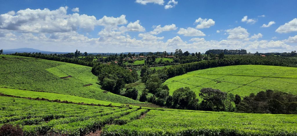
Dr. Thomas Buchholz, Senior Scientist at SIG, will be in Kenya this spring to provide assistance in biomass supply chain management to the Kenya Tea Development Agency (KTDA). He is collaborating with the Strathmore Energy Research Centre based at Strathmore University in Nairobi on this task. KTDA is in need to provide a more secure, cost-effective, and sustainable fuelwood supply over the long-term. To meet those needs, KTDA is looking at various alternatives and monitoring programs for their currently small-scale farmer based fuelwood sourcing strategy. Dr. Buchholz leads the Forest and Agriculture domain at Spatial Informatics Group.