Collect Earth Online CEO
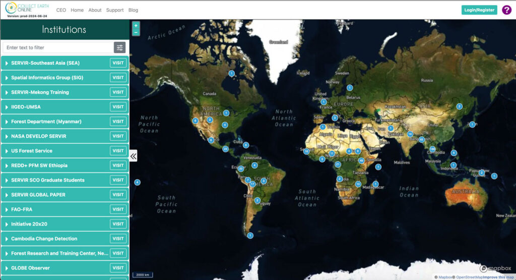
Collect Earth Online (CEO) enables users to efficiently collect up-to-date information about their environment and observe changes over time at no cost. Organizations around the world use CEO to detect deforestation, forest degradation, and other changes in the landscape.
SIG Works With Google And Other Partners On New Tools That Democratize Offline Mapping

Spatial Informatics Group (SIG) contributed to a fascinating mapping project described in a new post on the Google Earth and Earth Engine Medium page.
Google partnered with CIAT, SERVIR-Amazonia, SIG, and other groups on two pilot projects involving Ground, an open-source data platform that works offline—crucial in areas without wireless service—and also seamlessly connects to cloud-based storage and computation. The platform consists of an Android app for offline data collection and a web app for data management.
Connecting Space To Village: Bringing Satellite Data To The Ground To Improve Lives

SERVIR has been set up in many regions of the world, and the Lower Mekong Region is one of them. SERVIR-Mekong focuses on predicting seasonal crop yields, assessing how future climate change will impact the region, monitoring the landscape and the ecosystem services it provides, and developing climate change adaptation tools for agriculture, rangelands, fisheries and aquaculture. Over large landscapes, in complex ecosystems, and in a changing climate, people often do not have the information they need to solve local, national, and regional land use challenges.
As Science Funding Decreases, Technology May Protect Our Ecological Future
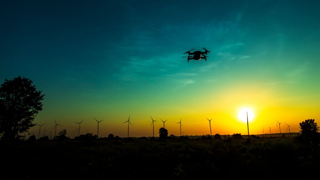
In an increasingly populated, financially-strained, and ecologically-stressed world, scientists are facing mounting pressure to find quick answers to social and environmental challenges. But, In the field of ecology, solutions almost never come quickly. They take miles of hiking through uninviting terrain, months of laboratory sample testing, and weeks of data analyses to devise some of the most basic answers to the most basic questions. Fortunately for ecologists, new uses of technology, particularly airborne remote-sensing technology, are helping them obtain these answers more quickly than they were able to only a few years ago.
SIG And The University Of Vermont-Spatial Analysis Lab (UVM-SAL) Partner To Offer High-Resolution Imagery For Small Area Mapping

A picture is worth a thousand words, but it helps to have the right picture for your application. That is why SIG is partnering with the University of Vermont-Spatial Analysis Lab to offer a full range of remote sensing and geospatial analysis services that includes the deployment of Unmanned Aircraft Systems (UAS).
