Skip to content
SIG Spatial Informatics Group logo
  • Science Groups
    • Environmental Mapping
    • Carbon Offsets
    • Natural Hazards
    • Ecosystem Services
    • Forest & Agriculture Management
  • Solutions
    • Environmental Mapping
    • Carbon Oftsets
    • Environmental Software
    • Natural Hazards
    • Ecosystem Services
    • Forest & Agriculture Management
    • Climate Change
    • Uncrewed Aircraft Systems
  • About
    • About us
    • Contact us
    • Open Science
    • Careers
    • Privacy Policy
  • News
  • Blog
Close
Close
  • Science Groups
    • Environmental Mapping
    • Carbon Offsets
    • Natural Hazards
    • Ecosystem Services
    • Forest & Agriculture Management
  • Solutions
    • Environmental Mapping
    • Carbon Oftsets
    • Environmental Software
    • Natural Hazards
    • Ecosystem Services
    • Forest & Agriculture Management
    • Climate Change
    • Uncrewed Aircraft Systems
  • About
    • About us
    • Contact us
    • Open Science
    • Careers
    • Privacy Policy
  • News
  • Blog

Tag: Generate Revenue

Helping American Forests Help Underserved Landowners

Helping American Forests Help Underserved Landowners

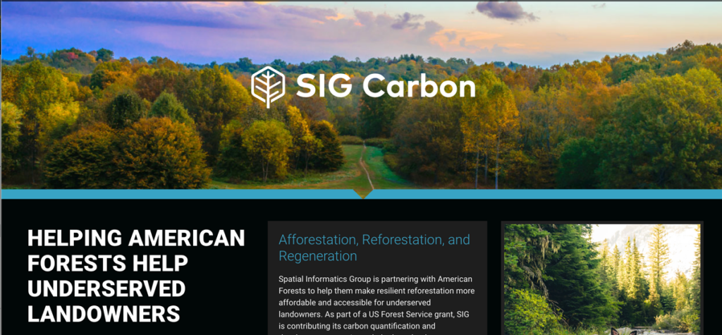
Spatial Informatics Group is partnering with American Forests to help them make resilient reforestation more affordable and accessible for underserved landowners.

Carbon Credits with the White Mountain Apache Tribe

Forest Carbon Offsets Project - White Mountain Apache Tribe

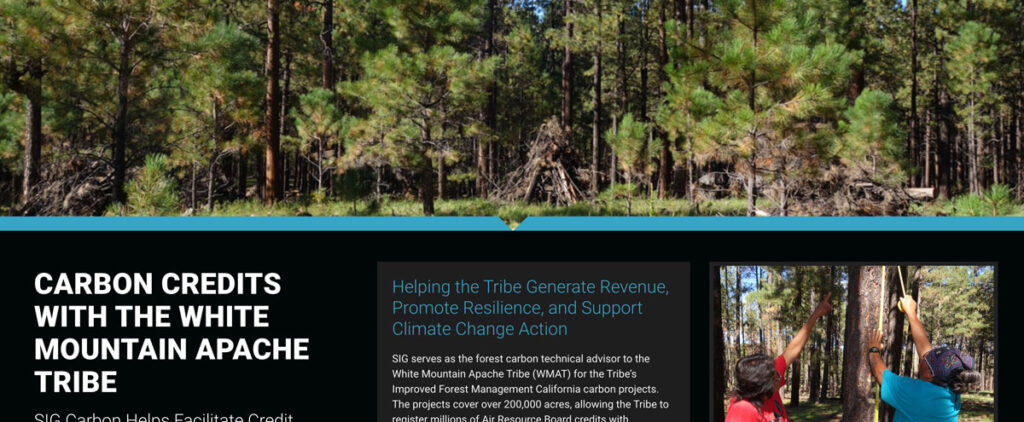
SIG serves as the forest carbon technical advisor to the White Mountain Apache Tribe (WMAT) for the Tribe’s Improved Forest Management California carbon projects.

Info

Contact Us
info@sig-gis.com
Spatial Informatics Group
2529 Yolanda Ct.
Pleasanton, CA 94566

Science Groups

Environmental Mapping
Carbon Offsets
Natural Hazards
Ecosystem Services
Forest and Agriculture Management
Environmental Software

Law

  • Privacy Policy
Spatial Informatics group - SIG
  • © Spatial Informatics Group, SIG 2024