Forest Carbon Analysis Tool

Spatial Informatics Group and its partners needed a way to model carbon mitigation impacts in forestlands. So we built FCAT. This system automates SIG’s open science Reduced Emissions from Megafires methodology to quantify and monetize carbon emissions avoided through forest treatments that reduce the severity and scope of wildfires.
Simple Tech For Land Management: Training Local Users For Faster, Cost-Effective Results

Tribal leaders in remote Vietnam now use e-tablets to map lands, showing how tech helps rural communities leapfrog development and modernize.
Preventing California’s Catastrophic Wildfires Requires Careful Forest Management

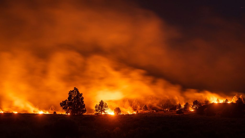
In 2015, the world experienced the strongest El Niño year on record, and forest fires tore through homes, businesses and lives in many parts of the world – one of which was California. That year 150,000 acres burned in the state, costing over USD $1 billion in insurance claims.
