Eastern Sierra Climate & Community Resilience Project
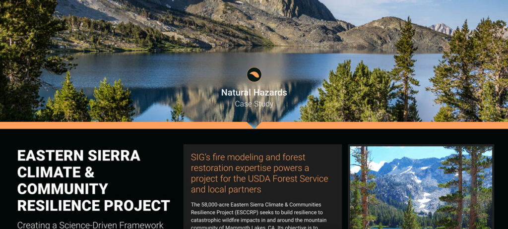
the USDA Forest Service, specifically the Inyo National Forest, along with numerous state and local governments and NGOs. SIG was hired to assist with ESCCRP because of our scientific and operational experience and expertise in fire modeling, land restoration, and maintenance.
Monitoring Severely Burned Redwood Forest
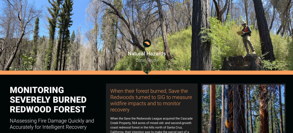
Save the Redwoods turned to Spatial Informatics Group (SIG) for their expertise in data collection, wildfire modeling, and remote sensing. SIG created a post-fire monitoring plan to quantify the fire’s effects and track recovery after the CZU Lightning Complex fires.
Assessing Extreme Fire Risk In California
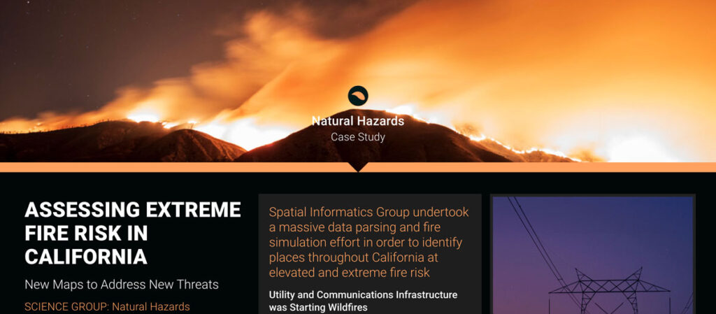
Some California fires were ignited by power lines and communication facilities downed by Santa Ana winds. In response, the California Public Utilities Commission needed accurate fire threat maps to address ignition dangers from electrical infrastructure.
Life Cycle Carbon Assessment of Biomass Power Generation
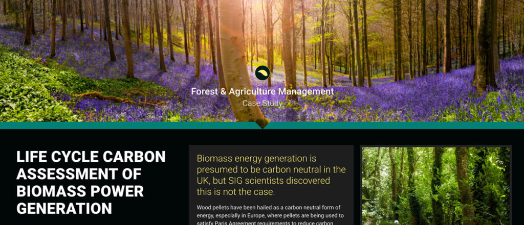
Wood pellets have been hailed as a carbon neutral form of energy, especially in Europe, where pellets are being used to satisfy Paris Agreement requirements to reduce carbon emissions. However, pellet production can result in additional biomass harvests that reduce the amount of carbon stored in forests.
Marin Jurisdictional Carbon Accounting
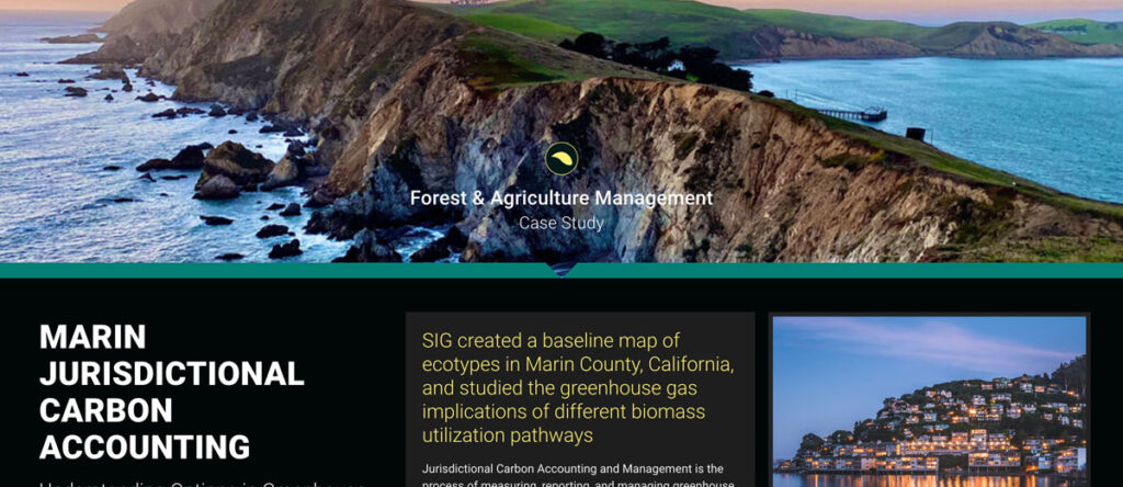
Jurisdictional Carbon Accounting and Management is the process of measuring, reporting, and managing greenhouse gas emissions and removals within a region. The Forest and Agriculture team has worked across the United States and in numerous other countries to measure greenhouse gas emissions and support decision making in order to limit carbon emissions.
Reduced Emissions from Megafires
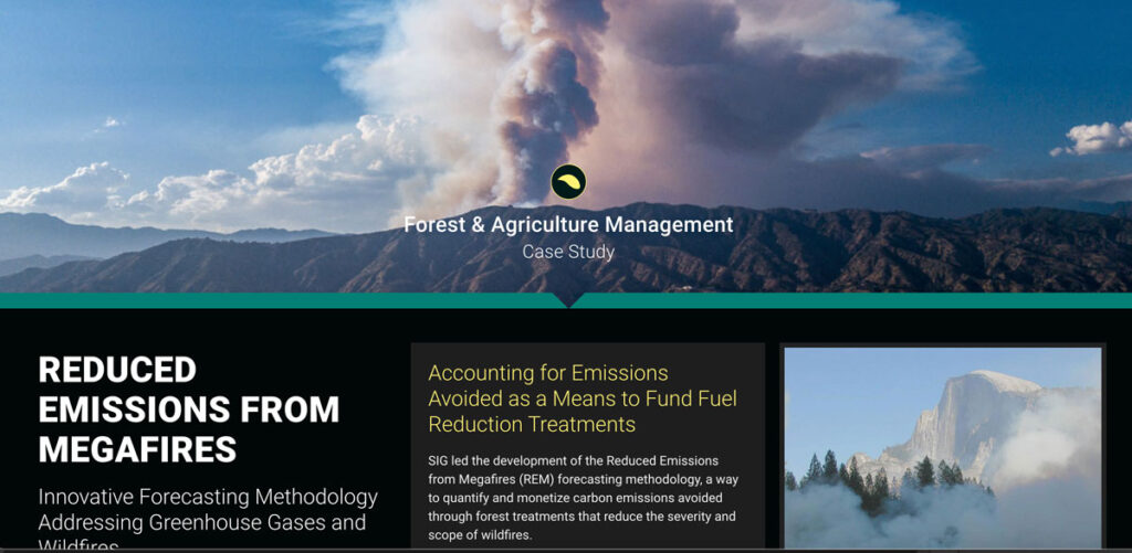
Wildfires in California are a serious and growing threat. SIG and the Climate and Wildfire Institute were chosen by the CA Wildfire and Landscape Resilience Taskforce to work in the Million Acres Strategy
Scenario Modeling for the Million Acres Strategy
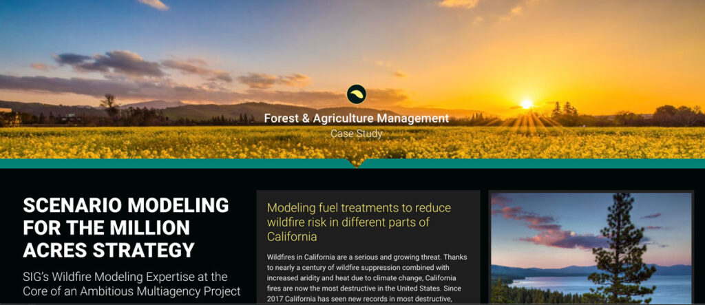
Wildfires in California are a serious and growing threat. SIG and the Climate and Wildfire Institute were chosen by the CA Wildfire and Landscape Resilience Taskforce to work in the Million Acres Strategy
California’s Fourth Climate Assessment
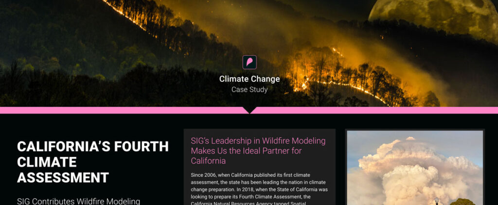
Since 2006, when California published its first climate assessment, the state has been leading the nation in climate change preparation. In 2018, when the State of California was looking to prepare its Fourth Climate Assessment, the California Natural Resources Agency tapped Spatial Informatics Group to serve as author and coauthor of two of the reports that went into the assessment
Identifying Key Watershed Stewards in the American West
The American Forest Foundation (AFF) approached SIG to support their work on ensuring forests on private lands in the American West continue to provide clean water, even in the face of increasing wildfire activity. In particular, they wanted to find out the role played by family forest owners in ensuring watershed health.
Sustainable Working Forests
CAL FIRE, California’s wildfire response agency, is required by law to produce assessments of the forests and rangelands in the state every seven years. Spatial Informatics Group was contracted to create a chapter of the 2017 assessment relating to modeling the effects of climate change on California’s 32 million acres of forest.

