Carbon Dioxide Emissions Calculations For Forest Biomass Energy Projects Are Dependent Upon Regionally-Specific Conditions

An issue brief recently released by the Natural Resource Defense Council (NRDC) highlighted the importance of regional studies of biomass energy development. The brief relied on a model developed by the Spatial Informatics Group (SIG) to assess the lifecycle greenhouse gas emissions of energy derived from forest biomass in a nine-state region of the southeast United States. The model built on prior work conducted on behalf of the Southern Environmental Law Center and the National Wildlife Federation in 2012.
Forest Carbon Analysis Tool

Spatial Informatics Group and its partners needed a way to model carbon mitigation impacts in forestlands. So we built FCAT. This system automates SIG’s open science Reduced Emissions from Megafires methodology to quantify and monetize carbon emissions avoided through forest treatments that reduce the severity and scope of wildfires.
Mapping Forest Degradation In Nepal With Remote Sensing

Under international climate change agreements, countries must estimate greenhouse gas emissions related to deforestation and forest degradation.
In cases of deforestation—when trees are cut and replaced by annual crops, for instance—the change in land cover is clearly visible. Forest degradation, by contrast, is more subtle. Trees are lost but the land remains forested and often recovers quickly—making the changes hard to detect.
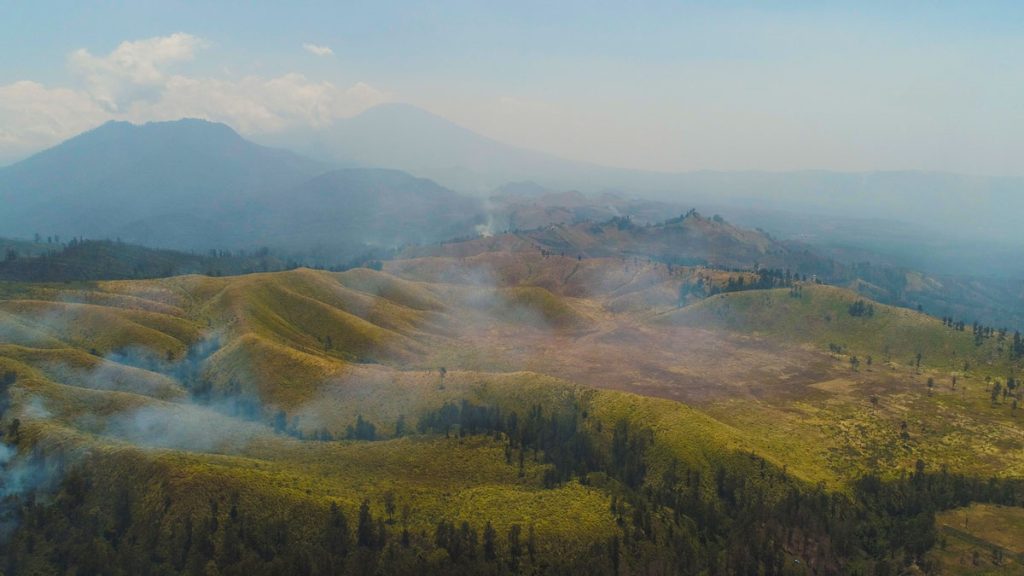
For Indonesia’s Wildfires, There Are No Easy Solutions

This week, we’re blogging about SIG’s work on reducing wildfire impacts in Indonesia and California. Fires in both regions have similar financial and health impacts, but differ in behavior. In Indonesia, even the ground itself can burn, requiring unique management approaches. Lessons learned in each place can inform solutions in the other.

