Greenline Climate
Greenline Climate is a joint venture of SIG Carbon that provides development services for forest carbon credit projects, in particular those that reduce emissions and mitigate the effects of climate change.
Forest Carbon Analysis Tool
Spatial Informatics Group and its partners needed a way to model carbon mitigation impacts in forestlands. So we built FCAT. This system automates SIG’s open science Reduced Emissions from Megafires methodology to quantify and monetize carbon emissions avoided through forest treatments that reduce the severity and scope of wildfires.
California Interagency Treatment Dashboard
SIG developed a free, open science dashboard that combines wildfire and landscape resilience project information from over a dozen different state and federal agencies. The dashboard provides a broad overview of statewide information, including summary statistics, and also allows users to drill down to specific projects along a number of different dimensions.
Technology Clearinghouse
The TCH, being developed by SIG and aims to enhance public transparency and access by offering a comprehensive database for comparing emissions control information. This platform will allow users to identify community-specific actions that yield significant air pollution reductions from both stationary and mobile sources.
CAL-ADAPT Analytics Engine
The Cal-Adapt: Analytics Engine is designed to provide access to and tools for utilizing the rich set of climate data downscaled for California. The methodology for prioritizing these tools is detailed in our “Co-Production Process” section, which focuses on assessing actual users’ needs and incrementally developing functional analytics tools in collaboration with users.
SIG Carbon Aggregation Program
The SIG Carbon Aggregation Program (SCAP) is an initiative to increase forestlands managed for carbon sequestration by helping smaller landowners overcome financial and administrative barriers to participation.
Regional Land Cover Mapping System (RLCMS)
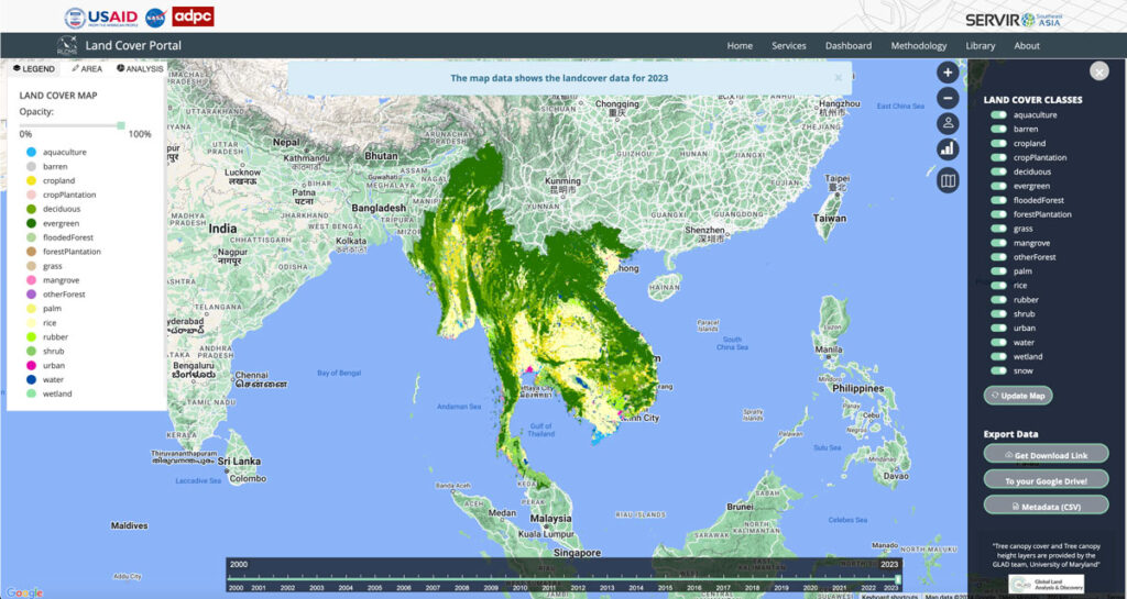
Collaborating with NASA’s SERVIR Southeast Asia (SEA) and the Asian Disaster Preparedness Center (ADPC), Spatial Informatics Group developed AI technology to create yearly land cover maps for various uses, such as monitoring land use, land cover change, crop mapping, and more.
Synthetic Aperture Radar Forest Disturbance Alert System
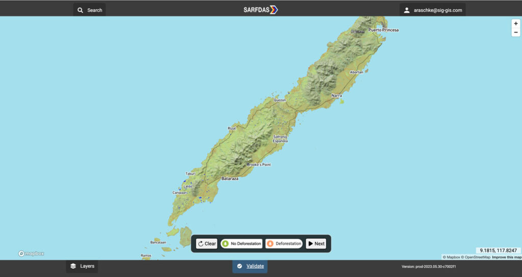
The Synthetic Aperture Radar Forest Disturbance Alert System (SARFDAS) is a powerful tool for detecting forest disturbances, integrating state-of-the-art technologies, automation, and human-based verification in a clean web interface for more timely and accurate decision-making and field response. SARFDAS leverages Synthetic Aperture Radar from the European Space Agency to identify forest disturbances even under inclement conditions when multispectral satellite imagery is patchy.
