SIG Carbon Aggregation Program
The SIG Carbon Aggregation Program (SCAP) is an initiative to increase forestlands managed for carbon sequestration by helping smaller landowners overcome financial and administrative barriers to participation.
Regional Land Cover Mapping System (RLCMS)
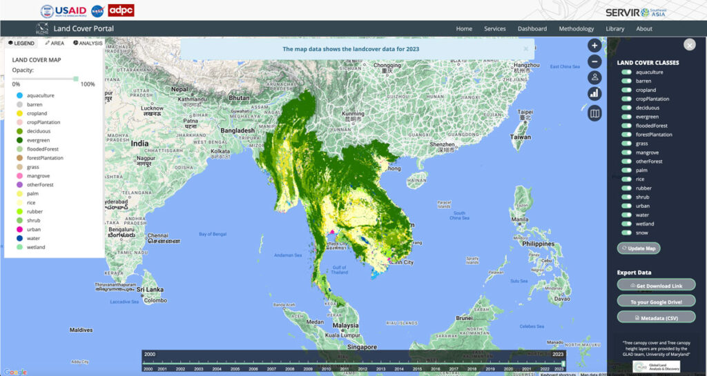
Collaborating with NASA’s SERVIR Southeast Asia (SEA) and the Asian Disaster Preparedness Center (ADPC), Spatial Informatics Group developed AI technology to create yearly land cover maps for various uses, such as monitoring land use, land cover change, crop mapping, and more.
Synthetic Aperture Radar Forest Disturbance Alert System
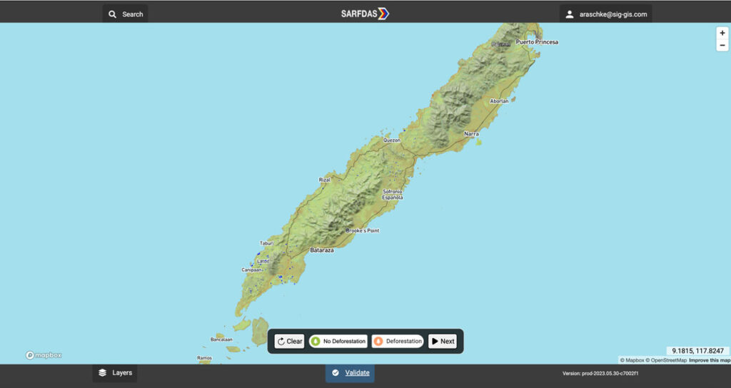
The Synthetic Aperture Radar Forest Disturbance Alert System (SARFDAS) is a powerful tool for detecting forest disturbances, integrating state-of-the-art technologies, automation, and human-based verification in a clean web interface for more timely and accurate decision-making and field response. SARFDAS leverages Synthetic Aperture Radar from the European Space Agency to identify forest disturbances even under inclement conditions when multispectral satellite imagery is patchy.
Eastern Sierra Climate & Community Resilience Project
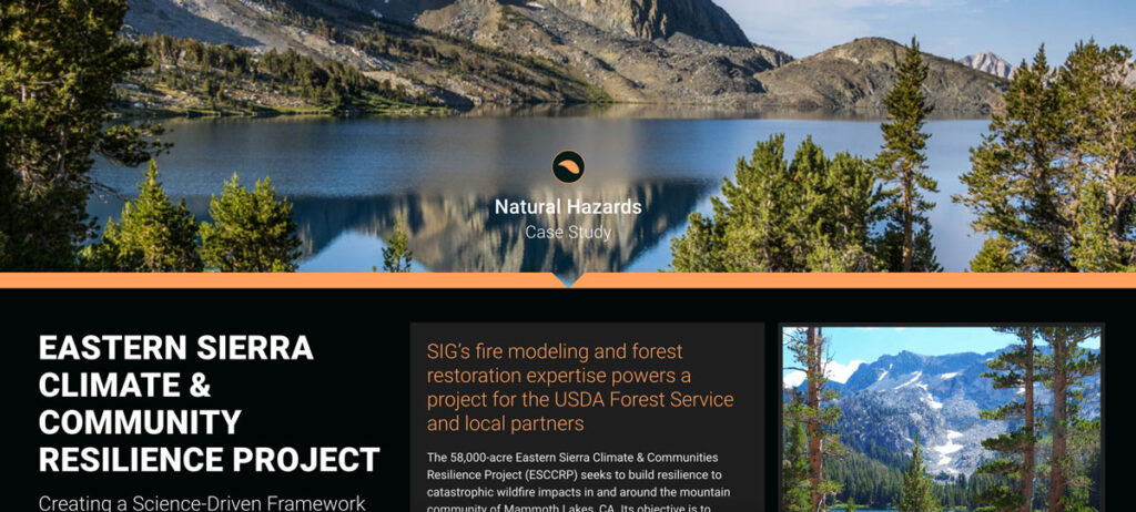
the USDA Forest Service, specifically the Inyo National Forest, along with numerous state and local governments and NGOs. SIG was hired to assist with ESCCRP because of our scientific and operational experience and expertise in fire modeling, land restoration, and maintenance.
Monitoring Severely Burned Redwood Forest
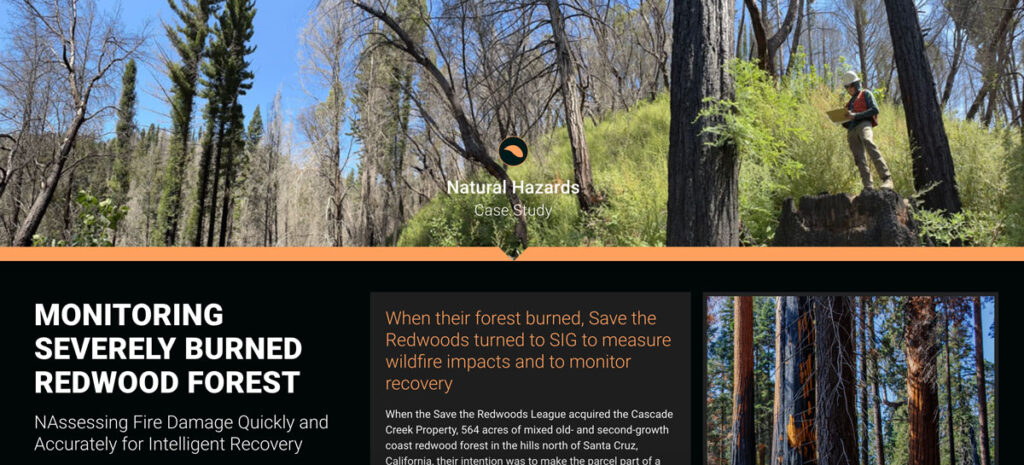
Save the Redwoods turned to Spatial Informatics Group (SIG) for their expertise in data collection, wildfire modeling, and remote sensing. SIG created a post-fire monitoring plan to quantify the fire’s effects and track recovery after the CZU Lightning Complex fires.
Assessing Extreme Fire Risk In California
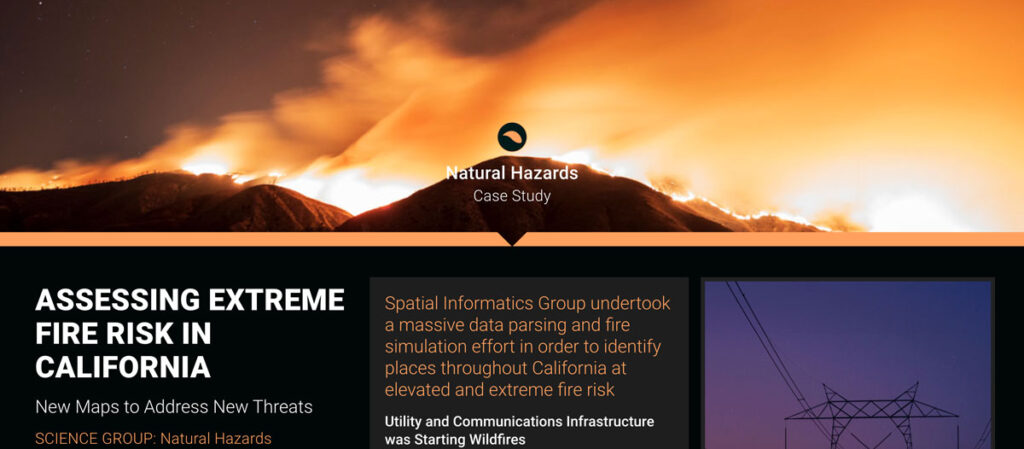
Some California fires were ignited by power lines and communication facilities downed by Santa Ana winds. In response, the California Public Utilities Commission needed accurate fire threat maps to address ignition dangers from electrical infrastructure.
Community Wildfire Risk Mitigation Assessment
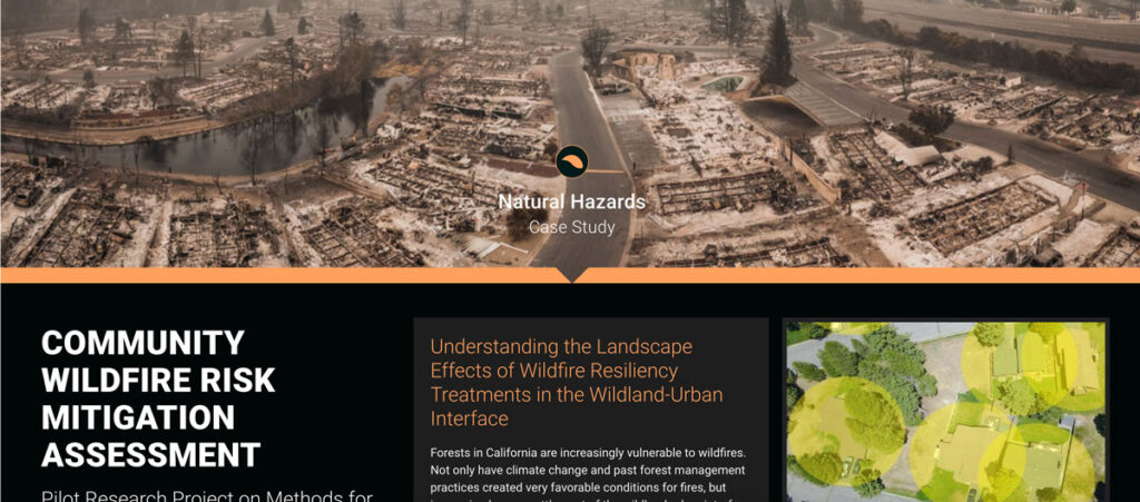
Forests in California are increasingly vulnerable to wildfires. Not only have climate change and past forest management practices created very favorable conditions for fires, but increasing human settlement of the wildland-urban interface and intermix (WUI) has dramatically increased the stakes.
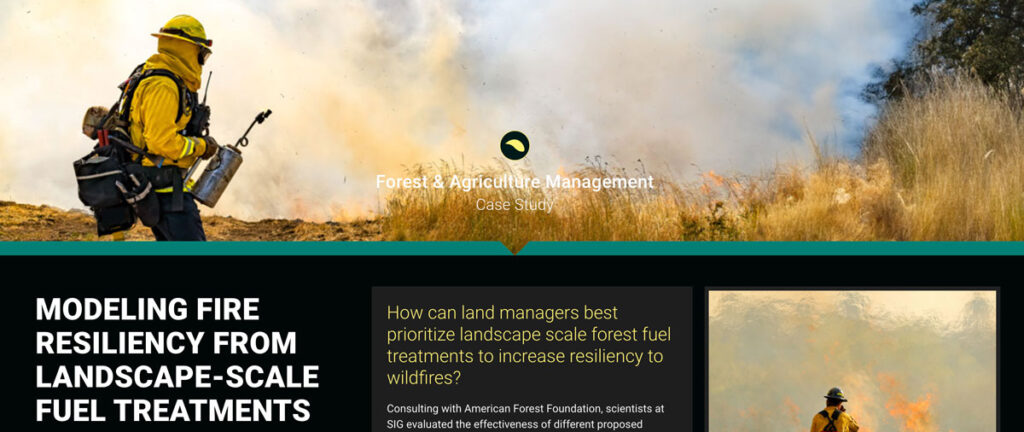
Modeling Fire Resiliency from Landscape-scale Fuel Treatments
Wood pellets have been hailed as a carbon neutral form of energy, especially in Europe, where pellets are being used to satisfy Paris Agreement requirements to reduce carbon emissions. However, pellet production can result in additional biomass harvests that reduce the amount of carbon stored in forests.
Life Cycle Carbon Assessment of Biomass Power Generation
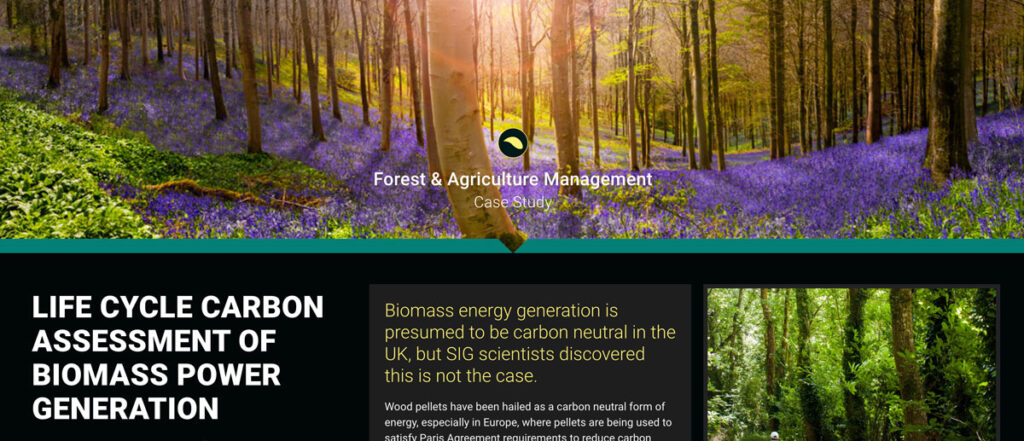
Wood pellets have been hailed as a carbon neutral form of energy, especially in Europe, where pellets are being used to satisfy Paris Agreement requirements to reduce carbon emissions. However, pellet production can result in additional biomass harvests that reduce the amount of carbon stored in forests.
Marin Jurisdictional Carbon Accounting
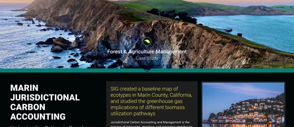
Jurisdictional Carbon Accounting and Management is the process of measuring, reporting, and managing greenhouse gas emissions and removals within a region. The Forest and Agriculture team has worked across the United States and in numerous other countries to measure greenhouse gas emissions and support decision making in order to limit carbon emissions.
