Collect Earth Online CEO
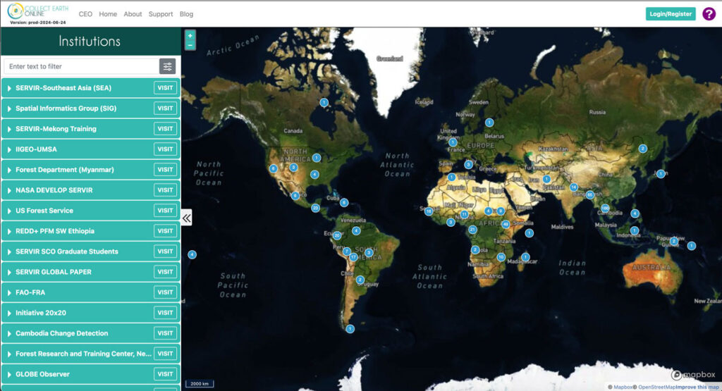
Collect Earth Online (CEO) enables users to efficiently collect up-to-date information about their environment and observe changes over time at no cost. Organizations around the world use CEO to detect deforestation, forest degradation, and other changes in the landscape.
PyreCast
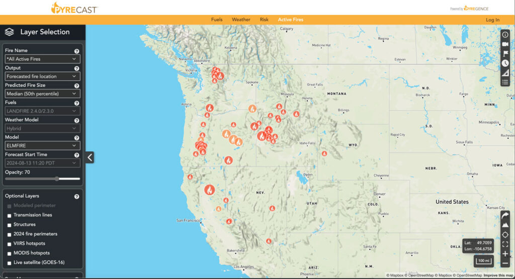
PyreCast empowers agencies and individuals to make decisions regarding evacuation orders, suppression and containment strategies, power grid shut-offs, and more by providing them with near real-time fire updates, fire spread forecasts, and fire risk assessments.
Planscape
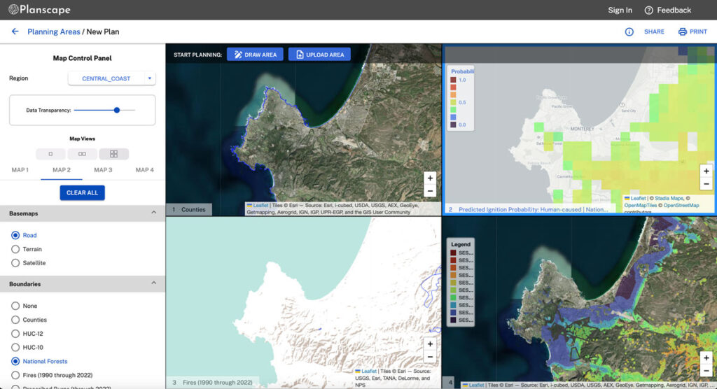
Planscape is a free decision support tool built to maximize wildfire resilience and ecological benefits across the State of California.
Planscape helps regional planners prioritize landscape treatments to mitigate fire risk, maximize ecological benefits and help California’s landscapes adapt to climate change
Planscape is a collaborative effort by the California Natural Resources Agency and US Forest Service, The University of California, and Spatial Informatics Group (SIG) with support from Google.org.
Forest Carbon Analysis Tool
Spatial Informatics Group and its partners needed a way to model carbon mitigation impacts in forestlands. So we built FCAT. This system automates SIG’s open science Reduced Emissions from Megafires methodology to quantify and monetize carbon emissions avoided through forest treatments that reduce the severity and scope of wildfires.
California Interagency Treatment Dashboard
SIG developed a free, open science dashboard that combines wildfire and landscape resilience project information from over a dozen different state and federal agencies. The dashboard provides a broad overview of statewide information, including summary statistics, and also allows users to drill down to specific projects along a number of different dimensions.
Technology Clearinghouse
The TCH, being developed by SIG and aims to enhance public transparency and access by offering a comprehensive database for comparing emissions control information. This platform will allow users to identify community-specific actions that yield significant air pollution reductions from both stationary and mobile sources.
CAL-ADAPT Analytics Engine
The Cal-Adapt: Analytics Engine is designed to provide access to and tools for utilizing the rich set of climate data downscaled for California. The methodology for prioritizing these tools is detailed in our “Co-Production Process” section, which focuses on assessing actual users’ needs and incrementally developing functional analytics tools in collaboration with users.
SIG Carbon Aggregation Program
The SIG Carbon Aggregation Program (SCAP) is an initiative to increase forestlands managed for carbon sequestration by helping smaller landowners overcome financial and administrative barriers to participation.
