SIG Presents LiDAR Based Projects In Tahoe
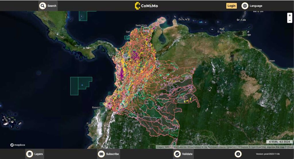
SIG co-developed software to remotely monitor gold mining activity in Colombia. Illegal mining is a driver of deforestation and this project aims to empower authorities to respond quickly and appropriately. CoMiMo, which is available for desktop in both English and Spanish, uses satellite imagery and artificial intelligence to identify threatened areas.
New Report Reveals Wildfire Is Not Just A Public Lands Issue

SIG co-developed software to remotely monitor gold mining activity in Colombia. Illegal mining is a driver of deforestation and this project aims to empower authorities to respond quickly and appropriately. CoMiMo, which is available for desktop in both English and Spanish, uses satellite imagery and artificial intelligence to identify threatened areas.
SIG Participates In The 6th International Wildland Fire Conference, Pyeongchang, Korea

SIG co-developed software to remotely monitor gold mining activity in Colombia. Illegal mining is a driver of deforestation and this project aims to empower authorities to respond quickly and appropriately. CoMiMo, which is available for desktop in both English and Spanish, uses satellite imagery and artificial intelligence to identify threatened areas.
BehavePlus 7
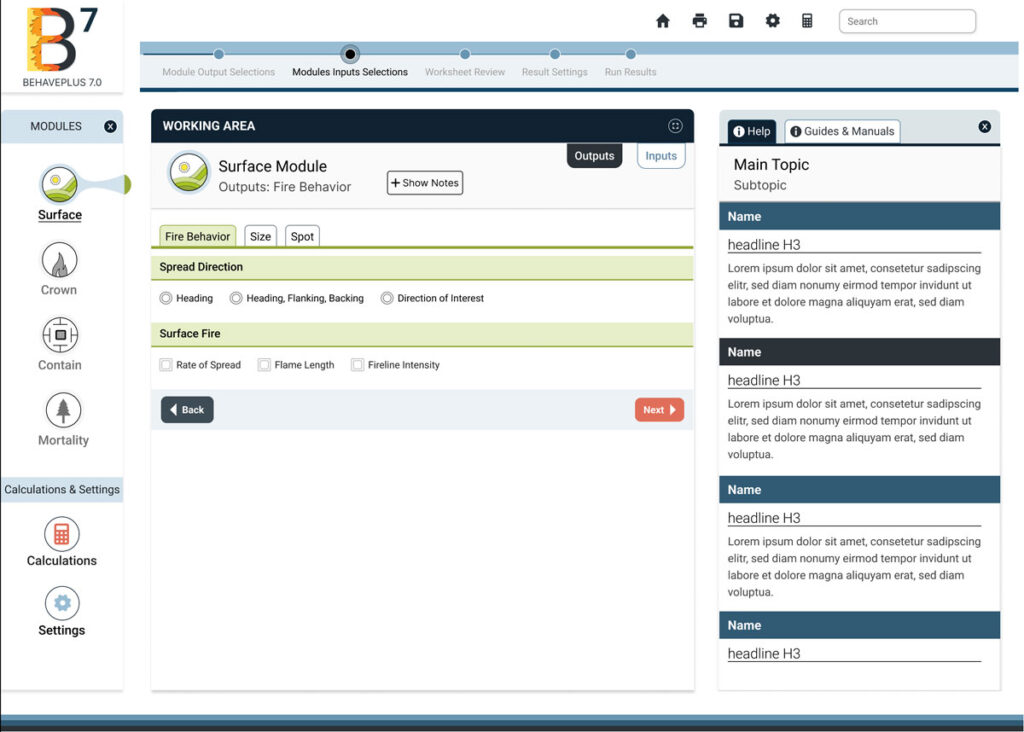
BehavePlus 7 is a desktop app that predicts fire behavior and environment using models. It simulates fire spread rate, spotting distance, scorch height, tree mortality, fuel moisture, wind speed effects, and more.
PyreCast
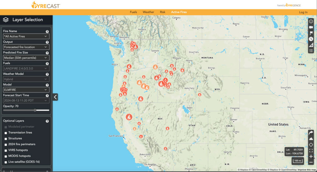
PyreCast empowers agencies and individuals to make decisions regarding evacuation orders, suppression and containment strategies, power grid shut-offs, and more by providing them with near real-time fire updates, fire spread forecasts, and fire risk assessments.
Eastern Sierra Climate & Community Resilience Project
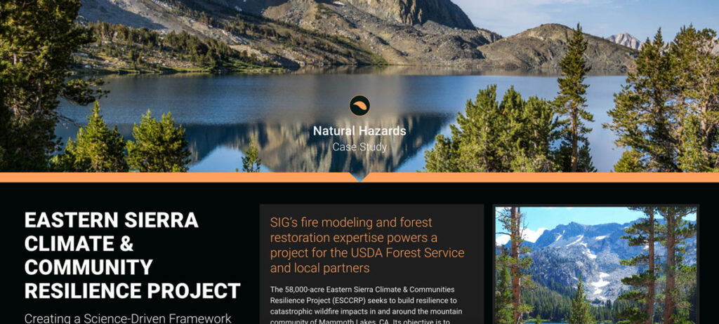
the USDA Forest Service, specifically the Inyo National Forest, along with numerous state and local governments and NGOs. SIG was hired to assist with ESCCRP because of our scientific and operational experience and expertise in fire modeling, land restoration, and maintenance.
Monitoring Severely Burned Redwood Forest
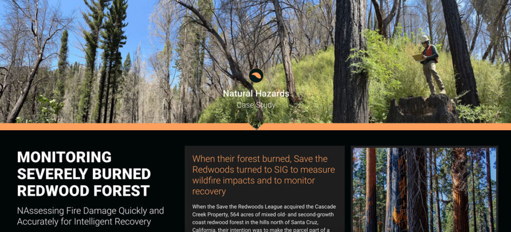
Save the Redwoods turned to Spatial Informatics Group (SIG) for their expertise in data collection, wildfire modeling, and remote sensing. SIG created a post-fire monitoring plan to quantify the fire’s effects and track recovery after the CZU Lightning Complex fires.
Scenario Modeling for the Million Acres Strategy
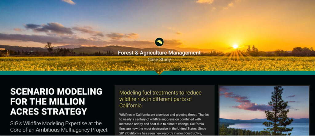
Wildfires in California are a serious and growing threat. SIG and the Climate and Wildfire Institute were chosen by the CA Wildfire and Landscape Resilience Taskforce to work in the Million Acres Strategy
California’s Fourth Climate Assessment
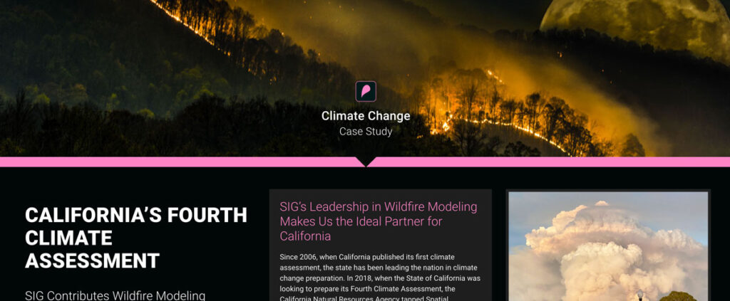
Since 2006, when California published its first climate assessment, the state has been leading the nation in climate change preparation. In 2018, when the State of California was looking to prepare its Fourth Climate Assessment, the California Natural Resources Agency tapped Spatial Informatics Group to serve as author and coauthor of two of the reports that went into the assessment
The True Cost of Wildfire
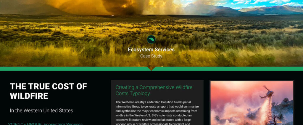
SIG’s scientists conducted an extensive literature review and collaborated with a large working group of wildfire professionals to highlight and document major categories of costs associated with wildfires

