Mekong Drought & Crop Watch
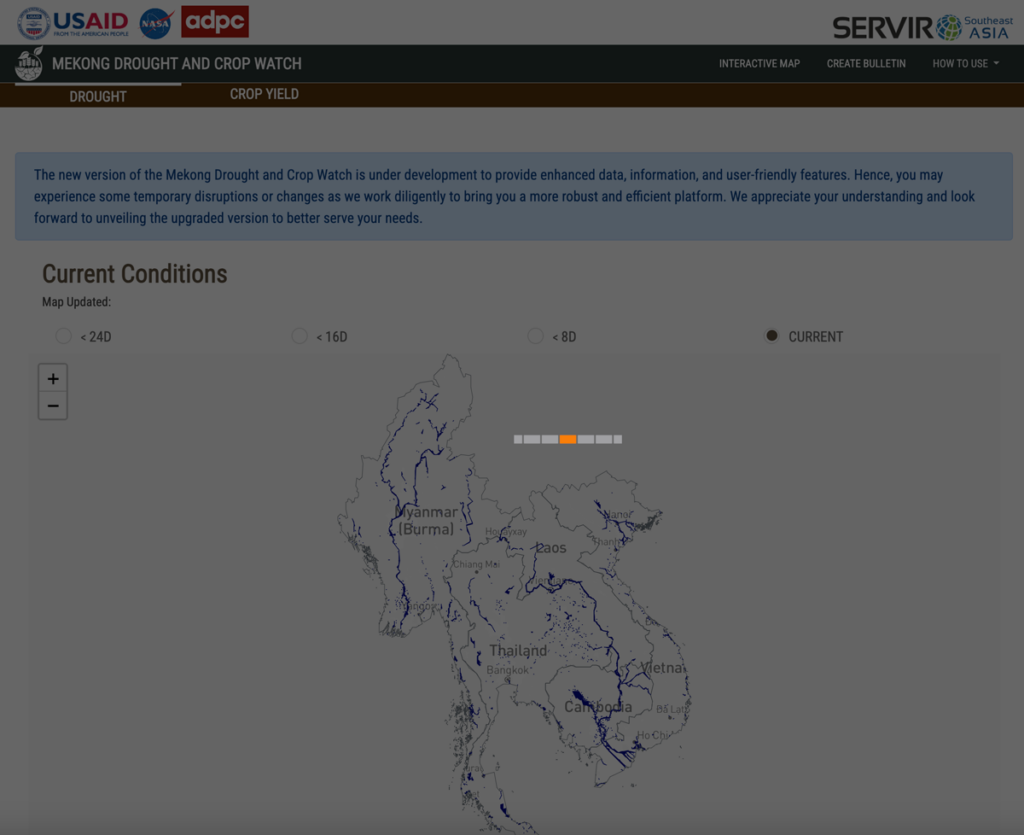
Working with SERVIR-SEA, SIG co-developed a tool in Google Earth Engine to monitor and respond to drought events in the Lower Mekong, as well as tools to plan and model agricultural decisions in the region. The freely accessible tool is open source and adaptable to different use cases, minimizing risk and cost during drought events.
Biophysical Monitoring and Evaluation Dashboard
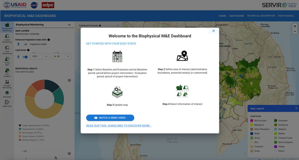
In support of USAID’s initiative to monitor and evaluate land cover change in Cambodia, Spatial Informatics Group and SERVIR SEA created an application powered by Google Earth Engine to allow the nation to track progress on various conservation projects.
Greenhouse Gas Accounting in Indonesia
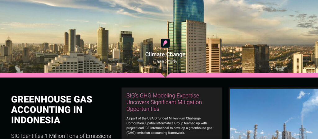
As part of the USAID funded Millennium Challenge Corporation, Spatial Informatics Group teamed up with project lead ICF International to develop a greenhouse gas (GHG) emission accounting framework.
Implementing Low Emission Development

SIG attended the 4th LEDS GP meeting in the Dominican Republic, focusing on financing low-emission development and climate resilience strategies.