Skip to content
SIG Spatial Informatics Group logo
  • Science Groups
    • Environmental Mapping
    • Carbon Offsets
    • Natural Hazards
    • Ecosystem Services
    • Forest & Agriculture Management
  • Solutions
    • Environmental Mapping
    • Carbon Oftsets
    • Environmental Software
    • Natural Hazards
    • Ecosystem Services
    • Forest & Agriculture Management
    • Climate Change
    • Uncrewed Aircraft Systems
  • About
    • About us
    • Contact us
    • Open Science
    • Careers
    • Privacy Policy
  • News
  • Blog
Close
Close
  • Science Groups
    • Environmental Mapping
    • Carbon Offsets
    • Natural Hazards
    • Ecosystem Services
    • Forest & Agriculture Management
  • Solutions
    • Environmental Mapping
    • Carbon Oftsets
    • Environmental Software
    • Natural Hazards
    • Ecosystem Services
    • Forest & Agriculture Management
    • Climate Change
    • Uncrewed Aircraft Systems
  • About
    • About us
    • Contact us
    • Open Science
    • Careers
    • Privacy Policy
  • News
  • Blog

Tag: Unmanned Aircraft Systems

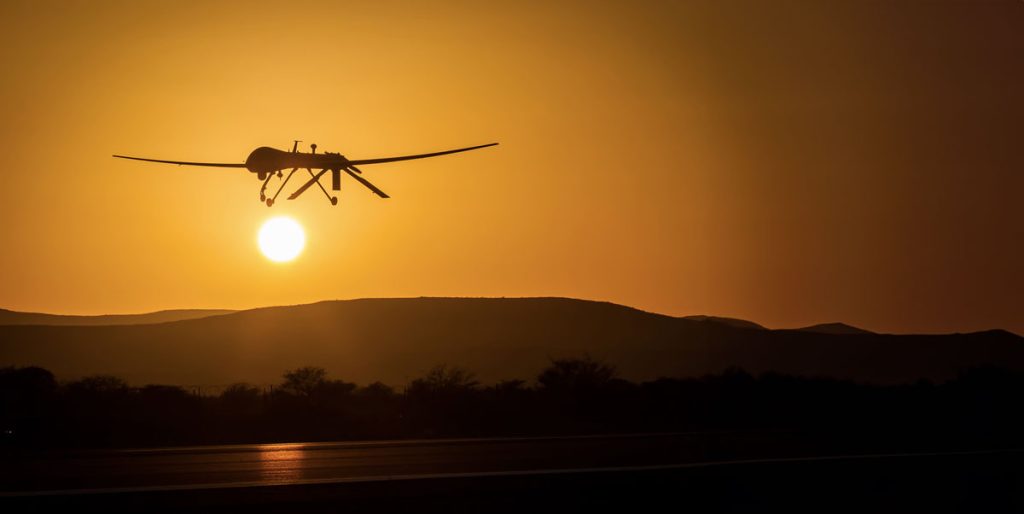
SIG And The University Of Vermont-Spatial Analysis Lab (UVM-SAL) Partner To Offer High-Resolution Imagery For Small Area Mapping
Sig And The University Of Vermont-Spatial Analysis Lab

A picture is worth a thousand words, but it helps to have the right picture for your application. That is why SIG is partnering with the University of Vermont-Spatial Analysis Lab to offer a full range of remote sensing and geospatial analysis services that includes the deployment of Unmanned Aircraft Systems (UAS).


Info

Contact Us
info@sig-gis.com
Spatial Informatics Group
2529 Yolanda Ct.
Pleasanton, CA 94566

Science Groups

Environmental Mapping
Carbon Offsets
Natural Hazards
Ecosystem Services
Forest and Agriculture Management
Environmental Software

Law

  • Privacy Policy
Spatial Informatics group - SIG
  • © Spatial Informatics Group, SIG 2024