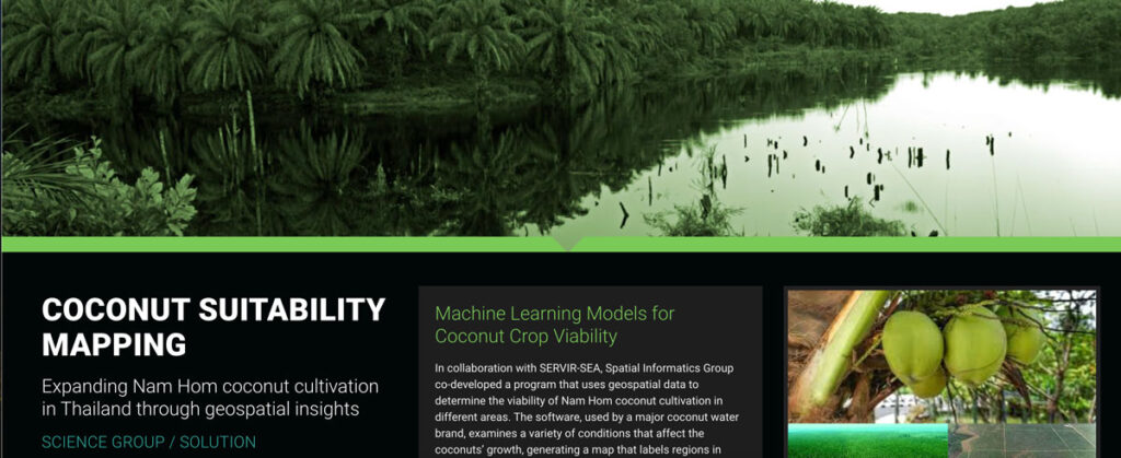
Coconut Suitability Mapping

In collaboration with SERVIR-SEA, Spatial Informatics Group co-developed a program that uses geospatial data to determine the viability of Nam Hom coconut cultivation in different areas.
Implementing Low Emission Development

SIG attended the 4th LEDS GP meeting in the Dominican Republic, focusing on financing low-emission development and climate resilience strategies.
