Eastern Sierra Climate & Community Resilience Project
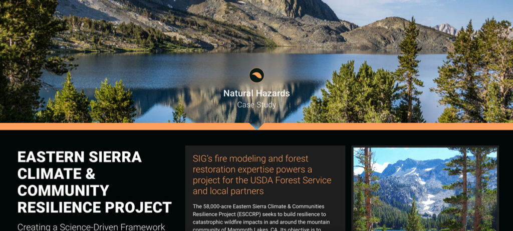
the USDA Forest Service, specifically the Inyo National Forest, along with numerous state and local governments and NGOs. SIG was hired to assist with ESCCRP because of our scientific and operational experience and expertise in fire modeling, land restoration, and maintenance.
Monitoring Severely Burned Redwood Forest
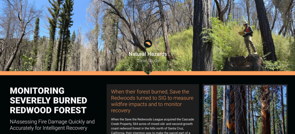
Save the Redwoods turned to Spatial Informatics Group (SIG) for their expertise in data collection, wildfire modeling, and remote sensing. SIG created a post-fire monitoring plan to quantify the fire’s effects and track recovery after the CZU Lightning Complex fires.
Mapping Forest Degradation In Nepal With Remote Sensing
Under international climate change agreements, countries must estimate greenhouse gas emissions related to deforestation and forest degradation.
In cases of deforestation—when trees are cut and replaced by annual crops, for instance—the change in land cover is clearly visible. Forest degradation, by contrast, is more subtle. Trees are lost but the land remains forested and often recovers quickly—making the changes hard to detect.