Developing Land Cover Mapping Technology for the KAZA Region

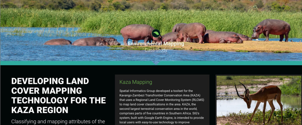
Spatial Informatics Group developed a toolset for the Kavango-Zambezi Transfrontier Conservation Area (KAZA) that uses a Regional Land Cover Monitoring System (RLCMS) to map land cover classifications in the area. KAZA, the second largest terrestrial conservation area in the world…
Simple Tech For Land Management: Training Local Users For Faster, Cost-Effective Results

Tribal leaders in remote Vietnam now use e-tablets to map lands, showing how tech helps rural communities leapfrog development and modernize.
Connecting Space To Village: Bringing Satellite Data To The Ground To Improve Lives

SERVIR has been set up in many regions of the world, and the Lower Mekong Region is one of them. SERVIR-Mekong focuses on predicting seasonal crop yields, assessing how future climate change will impact the region, monitoring the landscape and the ecosystem services it provides, and developing climate change adaptation tools for agriculture, rangelands, fisheries and aquaculture. Over large landscapes, in complex ecosystems, and in a changing climate, people often do not have the information they need to solve local, national, and regional land use challenges.
SIG Working In Kenya On Biomass Supply Chain

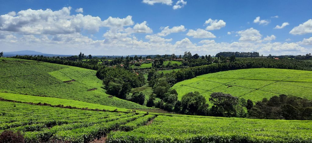
Dr. Thomas Buchholz, Senior Scientist at SIG, will be in Kenya this spring to provide assistance in biomass supply chain management to the Kenya Tea Development Agency (KTDA). He is collaborating with the Strathmore Energy Research Centre based at Strathmore University in Nairobi on this task. KTDA is in need to provide a more secure, cost-effective, and sustainable fuelwood supply over the long-term. To meet those needs, KTDA is looking at various alternatives and monitoring programs for their currently small-scale farmer based fuelwood sourcing strategy. Dr. Buchholz leads the Forest and Agriculture domain at Spatial Informatics Group.
