Spatial Informatics Group (SIG) And The University Of Vermont (UVM) Team Up To Demonstrate Small Unmanned Aircraft System (SUAS) Remote Sensing Capabilities In The Lake Tahoe Region
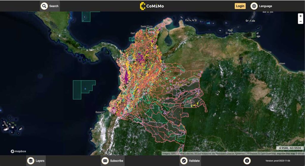
SIG co-developed software to remotely monitor gold mining activity in Colombia. Illegal mining is a driver of deforestation and this project aims to empower authorities to respond quickly and appropriately. CoMiMo, which is available for desktop in both English and Spanish, uses satellite imagery and artificial intelligence to identify threatened areas.
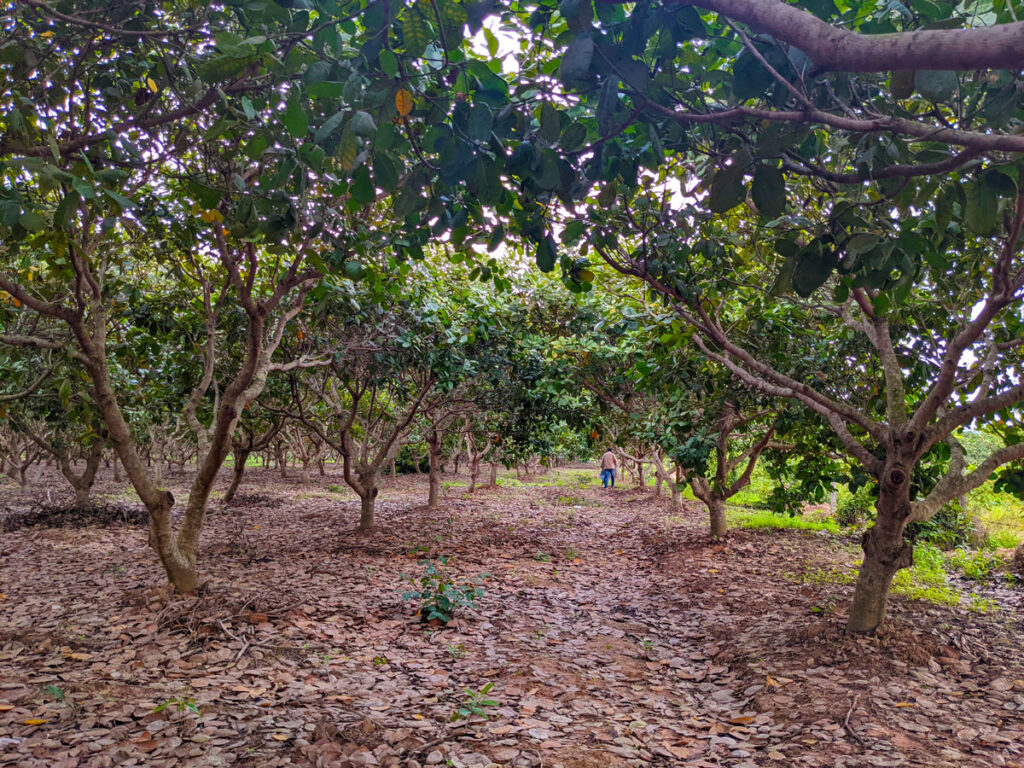
Neural Network Crop Mapping in Cambodia
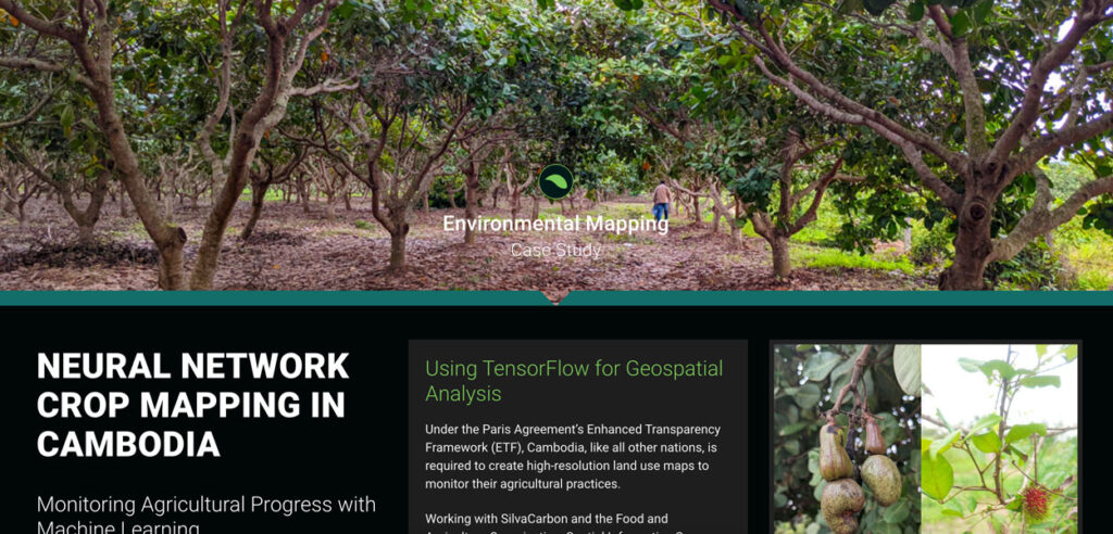
Under the Paris Agreement’s Enhanced Transparency Framework (ETF), Cambodia, like all other nations, is required to create high-resolution land use maps to monitor their agricultural practices.
Developing Land Cover Mapping Technology for the KAZA Region
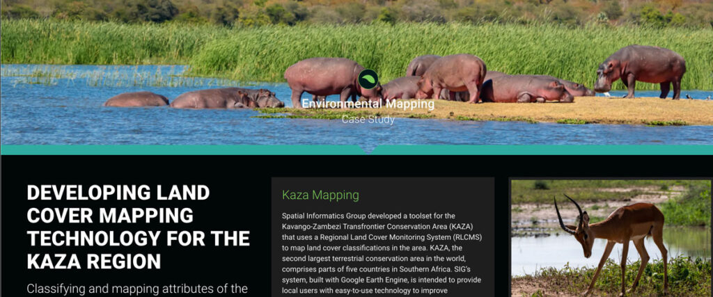
Spatial Informatics Group developed a toolset for the Kavango-Zambezi Transfrontier Conservation Area (KAZA) that uses a Regional Land Cover Monitoring System (RLCMS) to map land cover classifications in the area. KAZA, the second largest terrestrial conservation area in the world…
Cultivating Success: Cambodia’s Crop Mapping Powered By Tensorflow And Google Earth Engine
To ensure that the initiatives developed adequately addressed Cambodia’s needs, SIG teams worked closely with the Cambodian Department of Agriculture and Land Resource Management (DALRM), identifying gaps in the existing data and developing a remote sensing-based approach to improve existing methods of crop mapping.
SIG Works With Google And Other Partners On New Tools That Democratize Offline Mapping

Spatial Informatics Group (SIG) contributed to a fascinating mapping project described in a new post on the Google Earth and Earth Engine Medium page.
Google partnered with CIAT, SERVIR-Amazonia, SIG, and other groups on two pilot projects involving Ground, an open-source data platform that works offline—crucial in areas without wireless service—and also seamlessly connects to cloud-based storage and computation. The platform consists of an Android app for offline data collection and a web app for data management.
Simple Tech For Land Management: Training Local Users For Faster, Cost-Effective Results

Tribal leaders in remote Vietnam now use e-tablets to map lands, showing how tech helps rural communities leapfrog development and modernize.
SIG Working In Kenya On Biomass Supply Chain
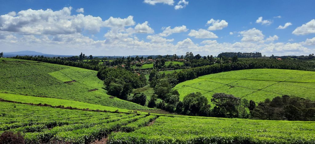
Dr. Thomas Buchholz, Senior Scientist at SIG, will be in Kenya this spring to provide assistance in biomass supply chain management to the Kenya Tea Development Agency (KTDA). He is collaborating with the Strathmore Energy Research Centre based at Strathmore University in Nairobi on this task. KTDA is in need to provide a more secure, cost-effective, and sustainable fuelwood supply over the long-term. To meet those needs, KTDA is looking at various alternatives and monitoring programs for their currently small-scale farmer based fuelwood sourcing strategy. Dr. Buchholz leads the Forest and Agriculture domain at Spatial Informatics Group.