Sustainable Working Forests
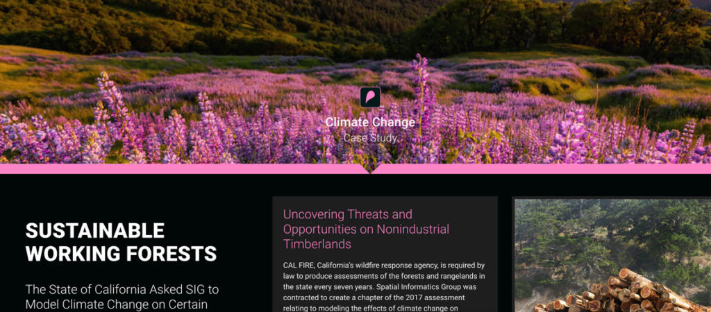
CAL FIRE, California’s wildfire response agency, is required by law to produce assessments of the forests and rangelands in the state every seven years. Spatial Informatics Group was contracted to create a chapter of the 2017 assessment relating to modeling the effects of climate change on California’s 32 million acres of forest.
California’s Urban Heat Island Index
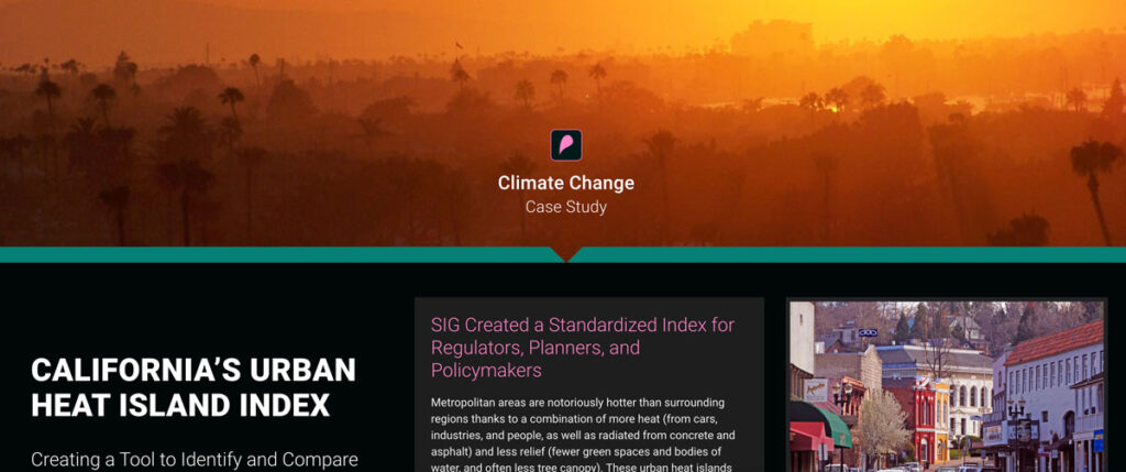
CAL FIRE, California’s wildfire response agency, is required by law to produce assessments of the forests and rangelands in the state every seven years. Spatial Informatics Group was contracted to create a chapter of the 2017 assessment relating to modeling the effects of climate change on California’s 32 million acres of forest.
Pyregence Launches New Forecasting Tool For Tracking Active Fire Spread
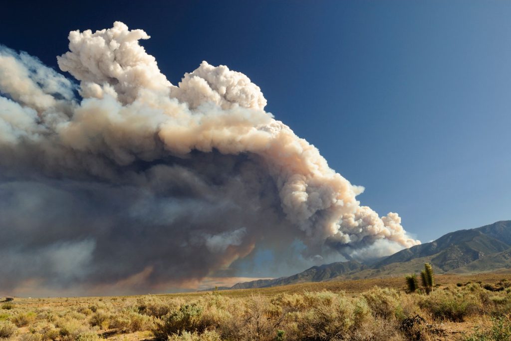
Firefighters in California battle 775,000 acres of fires from dry lightning. SIG built Pyregence, a wildfire forecasting tool
With Biomass Energy, The Carbon Savings Are In the Details
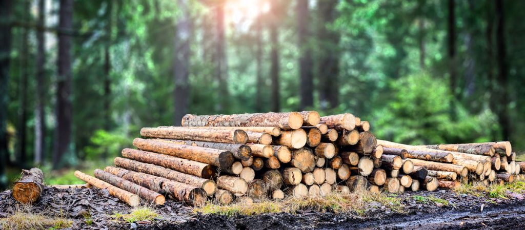
Biomass energy, Michael Moore’s new documentary Planet of the Humans faces criticism from environmentalists for using outdated data and simplistic analyses on renewables.
Connecting Space To Village: Bringing Satellite Data To The Ground To Improve Lives

SERVIR has been set up in many regions of the world, and the Lower Mekong Region is one of them. SERVIR-Mekong focuses on predicting seasonal crop yields, assessing how future climate change will impact the region, monitoring the landscape and the ecosystem services it provides, and developing climate change adaptation tools for agriculture, rangelands, fisheries and aquaculture. Over large landscapes, in complex ecosystems, and in a changing climate, people often do not have the information they need to solve local, national, and regional land use challenges.

