SIG Presents LiDAR Based Projects In Tahoe

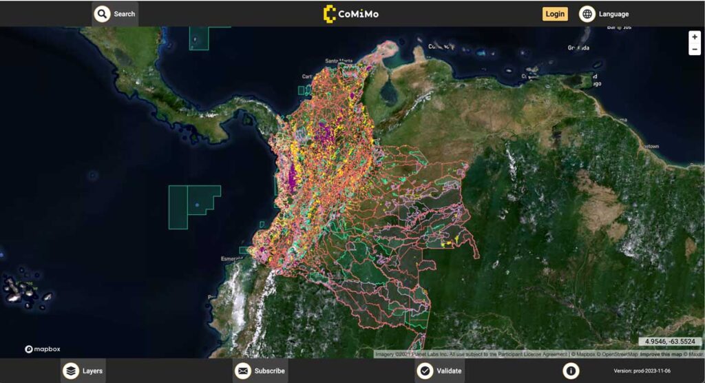
SIG co-developed software to remotely monitor gold mining activity in Colombia. Illegal mining is a driver of deforestation and this project aims to empower authorities to respond quickly and appropriately. CoMiMo, which is available for desktop in both English and Spanish, uses satellite imagery and artificial intelligence to identify threatened areas.
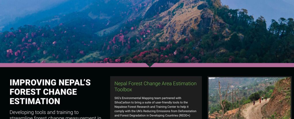
Improving Nepal’s Forest Change Estimation

SIG’s Environmental Mapping team partnered with SilvaCarbon to bring a suite of user-friendly tools to the Nepalese Forest Research and Training Center in Nepal.
Predicting The Future Of Wildfires? It’s Complicated

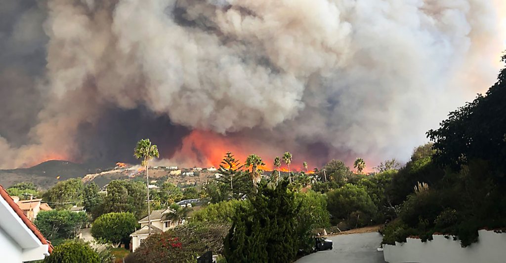
This week, many large media platforms ran front-page or lead stories on the launch of Fire Factor, a new wildfire prediction tool by First Street Foundation that lets property owners look up their predicted wildfire risk based on address.
SIG Works With Google And Other Partners On New Tools That Democratize Offline Mapping

Spatial Informatics Group (SIG) contributed to a fascinating mapping project described in a new post on the Google Earth and Earth Engine Medium page.
Google partnered with CIAT, SERVIR-Amazonia, SIG, and other groups on two pilot projects involving Ground, an open-source data platform that works offline—crucial in areas without wireless service—and also seamlessly connects to cloud-based storage and computation. The platform consists of an Android app for offline data collection and a web app for data management.
Pyregence Launches New Forecasting Tool For Tracking Active Fire Spread

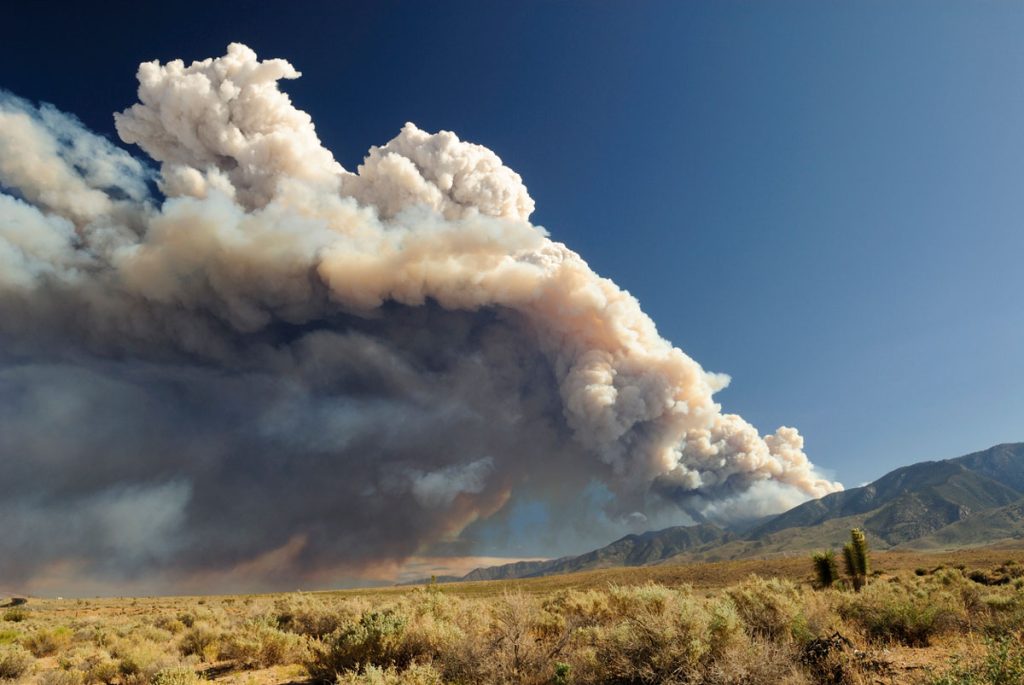
Firefighters in California battle 775,000 acres of fires from dry lightning. SIG built Pyregence, a wildfire forecasting tool
Simple Tech For Land Management: Training Local Users For Faster, Cost-Effective Results

Tribal leaders in remote Vietnam now use e-tablets to map lands, showing how tech helps rural communities leapfrog development and modernize.
