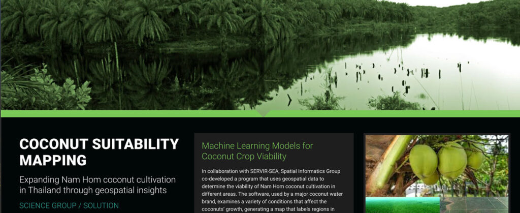
Coconut Suitability Mapping

In collaboration with SERVIR-SEA, Spatial Informatics Group co-developed a program that uses geospatial data to determine the viability of Nam Hom coconut cultivation in different areas.
SIG And The University Of Vermont-Spatial Analysis Lab (UVM-SAL) Partner To Offer High-Resolution Imagery For Small Area Mapping

A picture is worth a thousand words, but it helps to have the right picture for your application. That is why SIG is partnering with the University of Vermont-Spatial Analysis Lab to offer a full range of remote sensing and geospatial analysis services that includes the deployment of Unmanned Aircraft Systems (UAS).
