Neural Network Crop Mapping in Cambodia
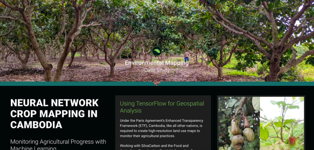
Under the Paris Agreement’s Enhanced Transparency Framework (ETF), Cambodia, like all other nations, is required to create high-resolution land use maps to monitor their agricultural practices.
Developing Land Cover Mapping Technology for the KAZA Region
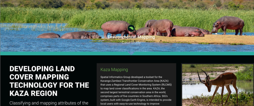
Spatial Informatics Group developed a toolset for the Kavango-Zambezi Transfrontier Conservation Area (KAZA) that uses a Regional Land Cover Monitoring System (RLCMS) to map land cover classifications in the area. KAZA, the second largest terrestrial conservation area in the world…
Mapping the Off-Site Benefits from Protected Areas Ecosystem Services
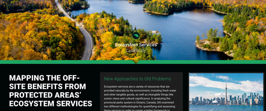
Ecosystem services include natural resources like fresh water and intangible benefits like scenic views and cultural significance. In analyzing Ontario’s provincial parks system, SIG examined two methodologies for quantifying and assessing these services to develop a better framework for evaluation
Improving Nepal’s Forest Change Estimation
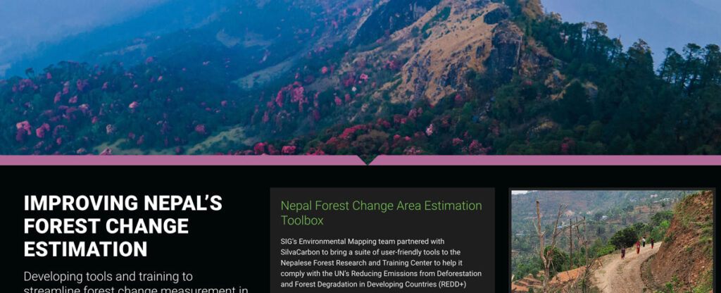
SIG’s Environmental Mapping team partnered with SilvaCarbon to bring a suite of user-friendly tools to the Nepalese Forest Research and Training Center in Nepal.
SIG And The University Of Vermont-Spatial Analysis Lab (UVM-SAL) Partner To Offer High-Resolution Imagery For Small Area Mapping
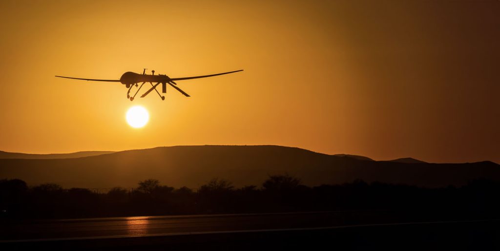
A picture is worth a thousand words, but it helps to have the right picture for your application. That is why SIG is partnering with the University of Vermont-Spatial Analysis Lab to offer a full range of remote sensing and geospatial analysis services that includes the deployment of Unmanned Aircraft Systems (UAS).
Wildfire Most Important Factor In Carbon-Payback Period For Forest Biomass Energy Projects
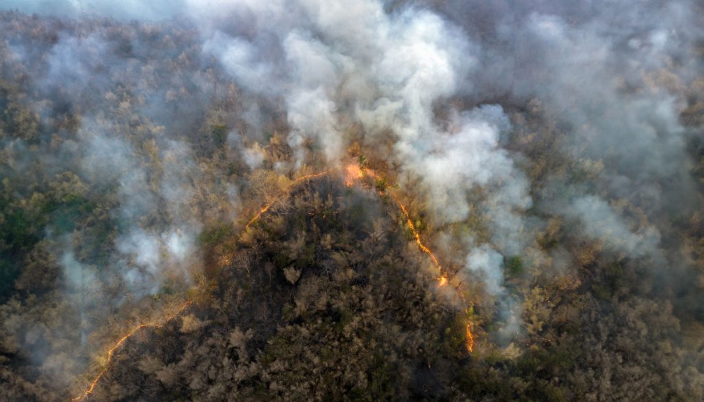
SIG co-developed software to remotely monitor gold mining activity in Colombia. Illegal mining is a driver of deforestation and this project aims to empower authorities to respond quickly and appropriately. CoMiMo, which is available for desktop in both English and Spanish, uses satellite imagery and artificial intelligence to identify threatened areas.

