New Report Reveals Wildfire Is Not Just A Public Lands Issue
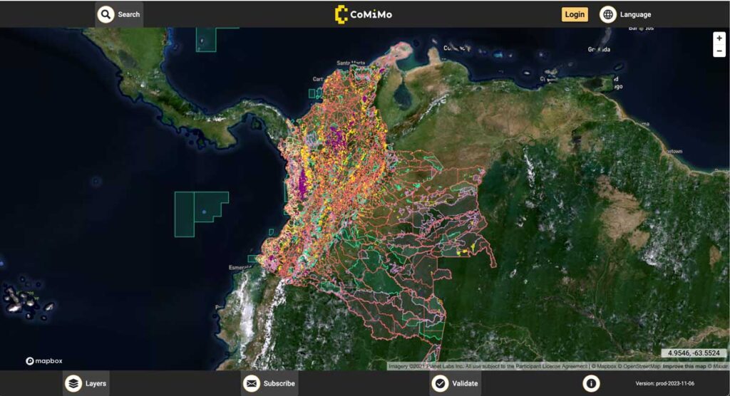
SIG co-developed software to remotely monitor gold mining activity in Colombia. Illegal mining is a driver of deforestation and this project aims to empower authorities to respond quickly and appropriately. CoMiMo, which is available for desktop in both English and Spanish, uses satellite imagery and artificial intelligence to identify threatened areas.
SIG Participates In The 6th International Wildland Fire Conference, Pyeongchang, Korea

SIG co-developed software to remotely monitor gold mining activity in Colombia. Illegal mining is a driver of deforestation and this project aims to empower authorities to respond quickly and appropriately. CoMiMo, which is available for desktop in both English and Spanish, uses satellite imagery and artificial intelligence to identify threatened areas.
Eastern Sierra Climate & Community Resilience Project
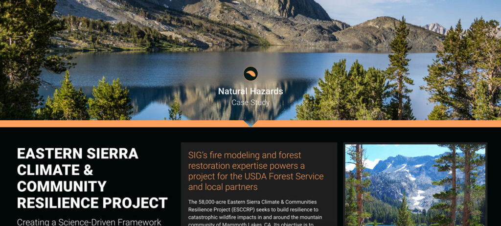
the USDA Forest Service, specifically the Inyo National Forest, along with numerous state and local governments and NGOs. SIG was hired to assist with ESCCRP because of our scientific and operational experience and expertise in fire modeling, land restoration, and maintenance.
Monitoring Severely Burned Redwood Forest
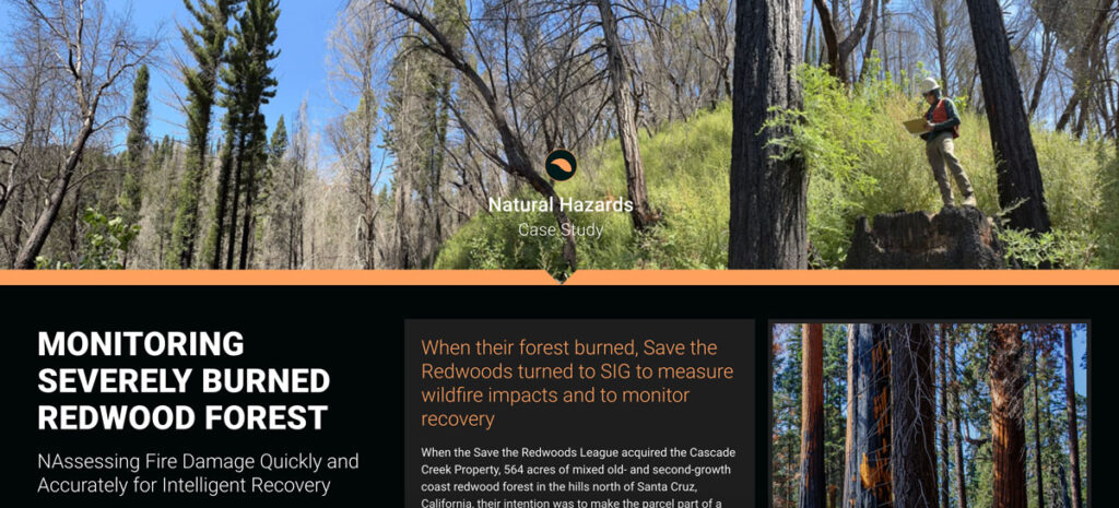
Save the Redwoods turned to Spatial Informatics Group (SIG) for their expertise in data collection, wildfire modeling, and remote sensing. SIG created a post-fire monitoring plan to quantify the fire’s effects and track recovery after the CZU Lightning Complex fires.
Predicting The Future Of Wildfires? It’s Complicated
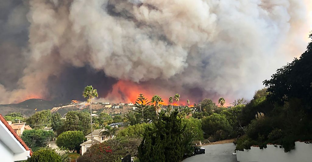
This week, many large media platforms ran front-page or lead stories on the launch of Fire Factor, a new wildfire prediction tool by First Street Foundation that lets property owners look up their predicted wildfire risk based on address.
Pyregence Launches New Forecasting Tool For Tracking Active Fire Spread
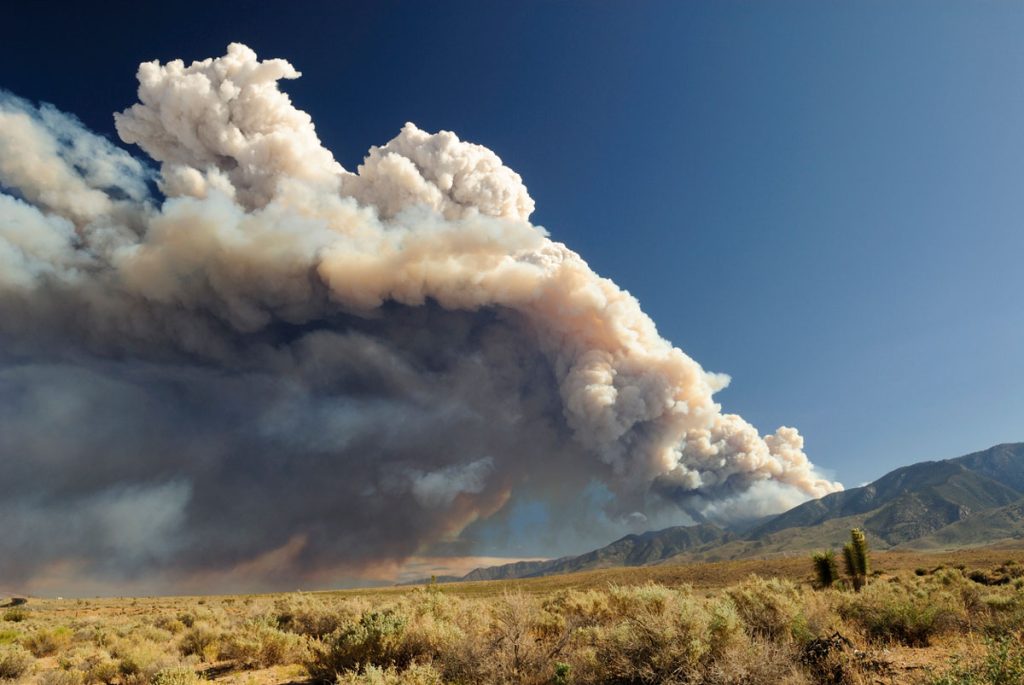
Firefighters in California battle 775,000 acres of fires from dry lightning. SIG built Pyregence, a wildfire forecasting tool

