SIG Presents LiDAR Based Projects In Tahoe
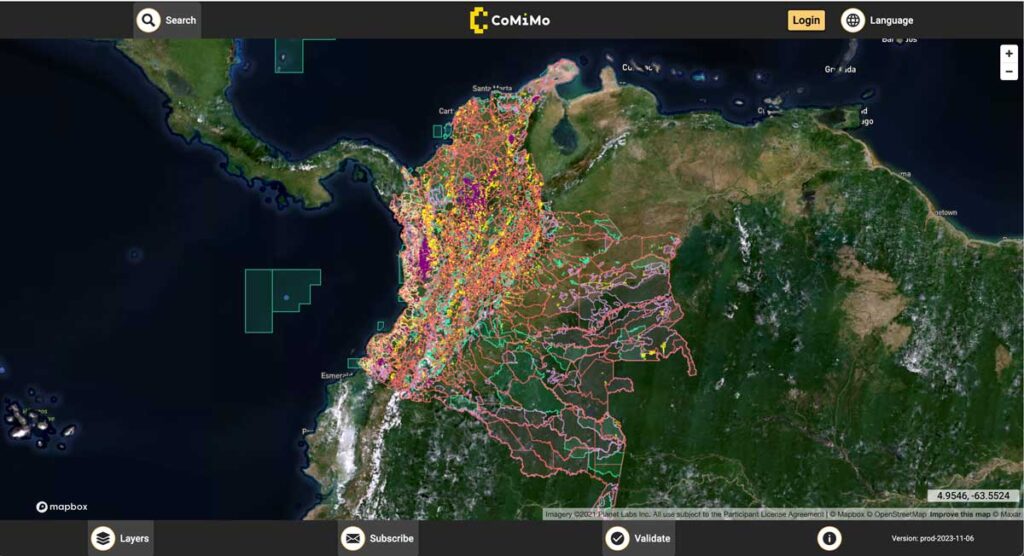
SIG co-developed software to remotely monitor gold mining activity in Colombia. Illegal mining is a driver of deforestation and this project aims to empower authorities to respond quickly and appropriately. CoMiMo, which is available for desktop in both English and Spanish, uses satellite imagery and artificial intelligence to identify threatened areas.
New Report Reveals Wildfire Is Not Just A Public Lands Issue

SIG co-developed software to remotely monitor gold mining activity in Colombia. Illegal mining is a driver of deforestation and this project aims to empower authorities to respond quickly and appropriately. CoMiMo, which is available for desktop in both English and Spanish, uses satellite imagery and artificial intelligence to identify threatened areas.
Fire Factor
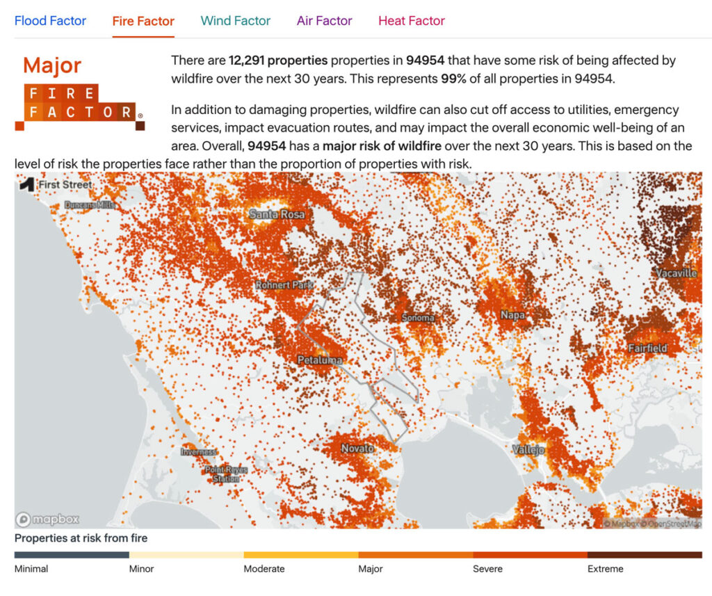
As part of the Pyregence Consortium, Spatial Informatics Group partnered with the risk analysis firm First Street Foundation to create a property-level wildfire risk model for every property in the conterminous United States. The First Street Foundation Wildfire Model (FSF-WFM) is the first national, climate-adjusted, property-specific wildfire risk assessment in America. FSF-WFM informs Fire Factor, First Street Foundation’s fire risk data product.
Planning And Implementing Fuel Treatments To Reduce Fire Hazard And Restore Healthy Wildlands And Forest Communities
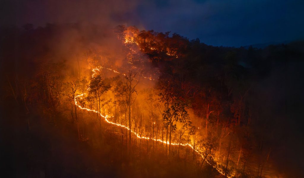
California landowners, land managers, and planners are acutely aware of their region’s exposure to wildfire and its associated hazards. Local, state, and federal efforts to moderate fire behavior with fuel treatments have dramatically expanded as wildfires have increased in size, severity, and community impacts.
Approved: SIG’s Methodology For Estimating Reduced Emissions From Megaffires
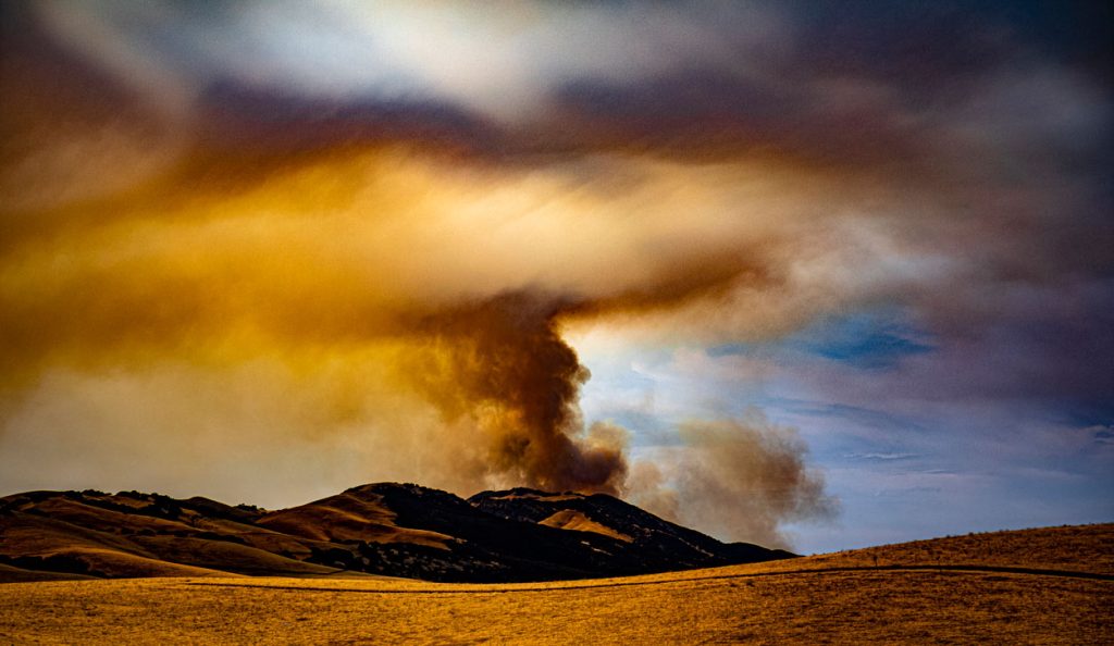
In March, the Climate Action Reserve’s Climate Forward program approved SIG’s Reduced Emissions from Megafires (REM) forecasting methodology. This methodology provides a novel mechanism for funding essential forest health projects by generating Forecasted Mitigation Units (FMUs) for greenhouse gas (GHG) emissions avoided by reducing the risk of catastrophic wildfires. Such funding will pave the way for reducing fuels and increasing forest resilience.
What Communities Can Do To Improve Their Wildfire Resilience
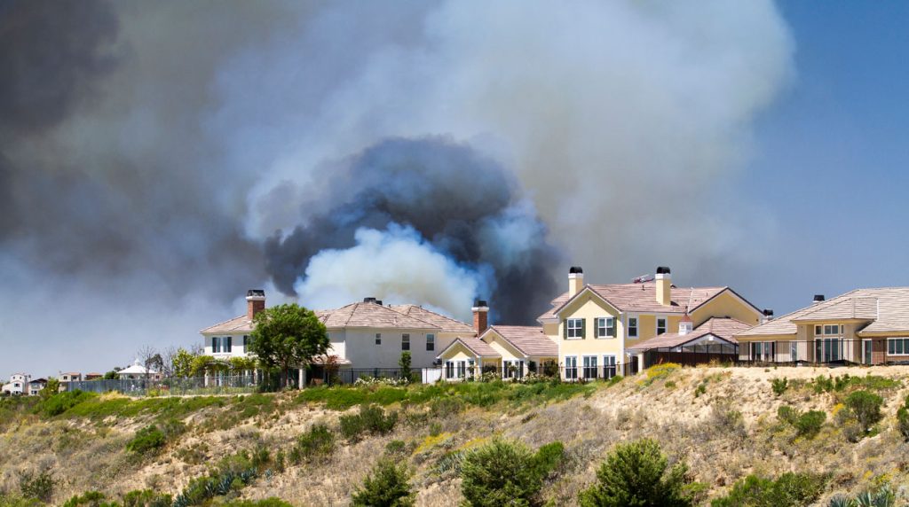
After visiting conferences throughout the last year, SIG-NAL’s Executive Director, Graham Wesolowski details his experiences initiating a Regional Wildfire Mitigation program:
Predicting The Future Of Wildfires? It’s Complicated
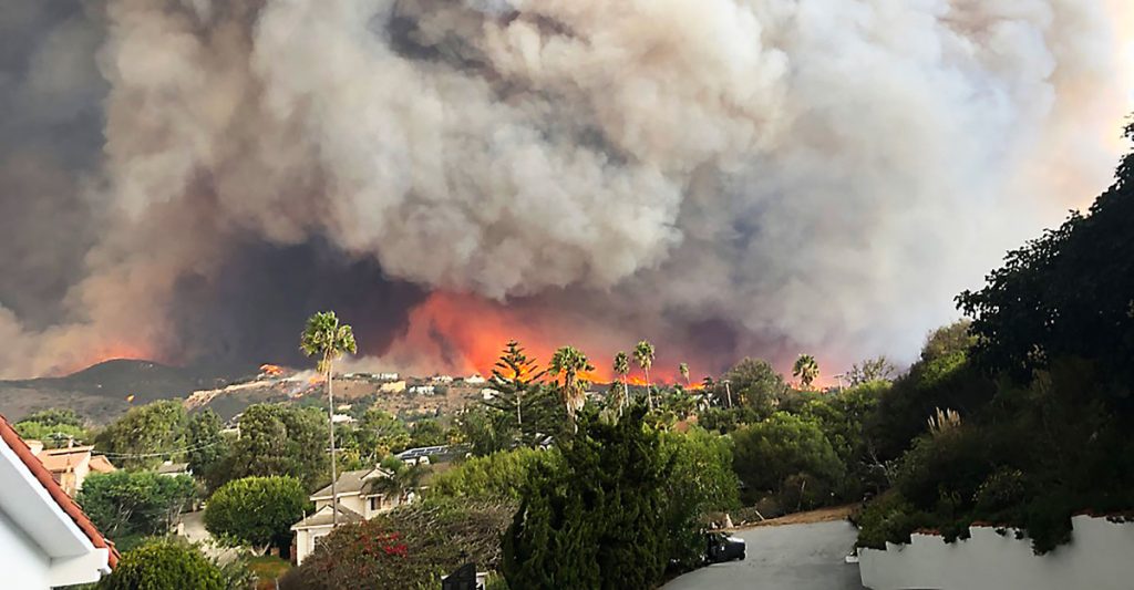
This week, many large media platforms ran front-page or lead stories on the launch of Fire Factor, a new wildfire prediction tool by First Street Foundation that lets property owners look up their predicted wildfire risk based on address.
Pyregence Launches New Forecasting Tool For Tracking Active Fire Spread
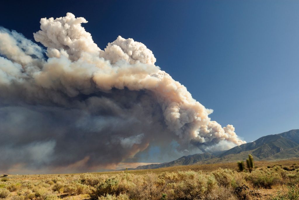
Firefighters in California battle 775,000 acres of fires from dry lightning. SIG built Pyregence, a wildfire forecasting tool
For Indonesia’s Wildfires, There Are No Easy Solutions
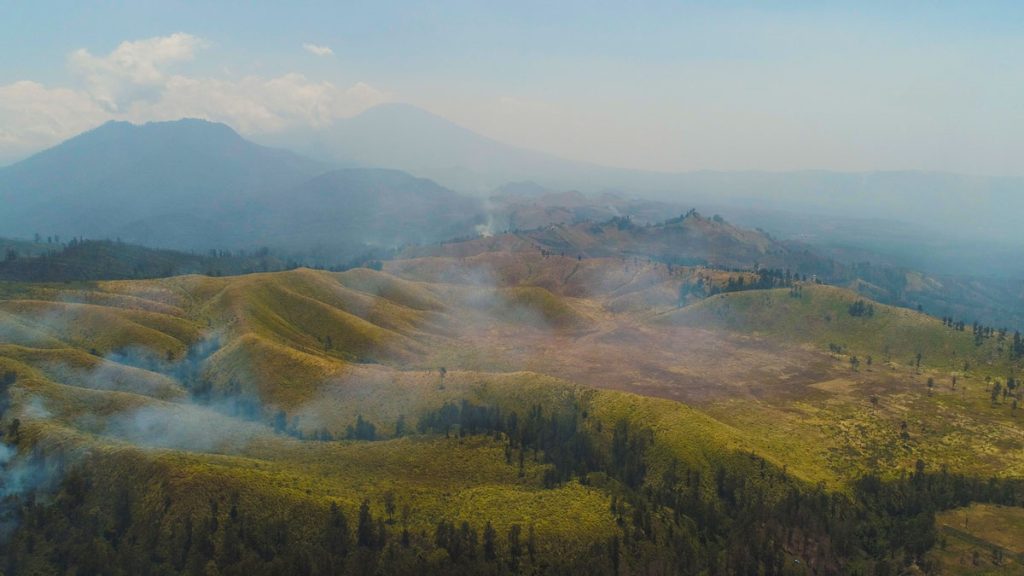
This week, we’re blogging about SIG’s work on reducing wildfire impacts in Indonesia and California. Fires in both regions have similar financial and health impacts, but differ in behavior. In Indonesia, even the ground itself can burn, requiring unique management approaches. Lessons learned in each place can inform solutions in the other.

