Regional Land Cover Mapping System (RLCMS)
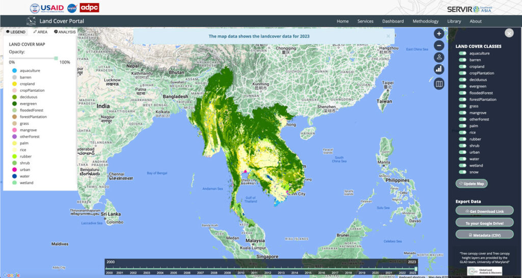
Collaborating with NASA’s SERVIR Southeast Asia (SEA) and the Asian Disaster Preparedness Center (ADPC), Spatial Informatics Group developed AI technology to create yearly land cover maps for various uses, such as monitoring land use, land cover change, crop mapping, and more.
Synthetic Aperture Radar Forest Disturbance Alert System
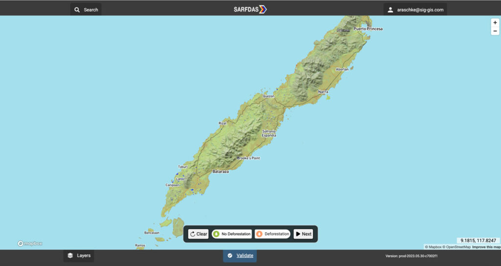
The Synthetic Aperture Radar Forest Disturbance Alert System (SARFDAS) is a powerful tool for detecting forest disturbances, integrating state-of-the-art technologies, automation, and human-based verification in a clean web interface for more timely and accurate decision-making and field response. SARFDAS leverages Synthetic Aperture Radar from the European Space Agency to identify forest disturbances even under inclement conditions when multispectral satellite imagery is patchy.
Coconut Suitability Mapping
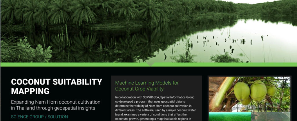
In collaboration with SERVIR-SEA, Spatial Informatics Group co-developed a program that uses geospatial data to determine the viability of Nam Hom coconut cultivation in different areas.
Improving Nepal’s Forest Change Estimation
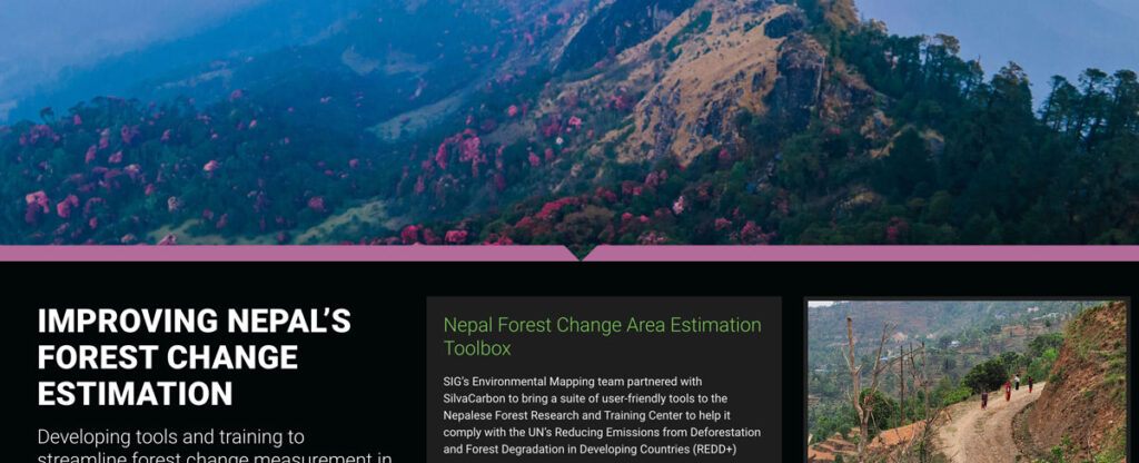
SIG’s Environmental Mapping team partnered with SilvaCarbon to bring a suite of user-friendly tools to the Nepalese Forest Research and Training Center in Nepal.
What Communities Can Do To Improve Their Wildfire Resilience
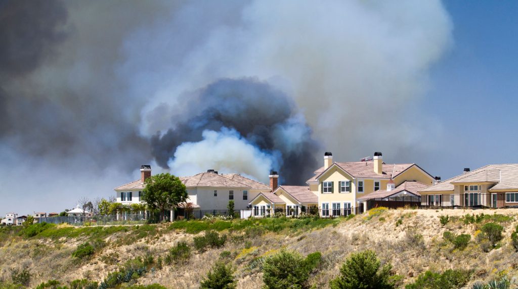
After visiting conferences throughout the last year, SIG-NAL’s Executive Director, Graham Wesolowski details his experiences initiating a Regional Wildfire Mitigation program:
Mapping Forest Degradation In Nepal With Remote Sensing
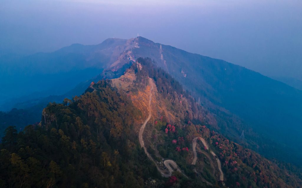
Under international climate change agreements, countries must estimate greenhouse gas emissions related to deforestation and forest degradation.
In cases of deforestation—when trees are cut and replaced by annual crops, for instance—the change in land cover is clearly visible. Forest degradation, by contrast, is more subtle. Trees are lost but the land remains forested and often recovers quickly—making the changes hard to detect.
Pyregence Launches New Forecasting Tool For Tracking Active Fire Spread
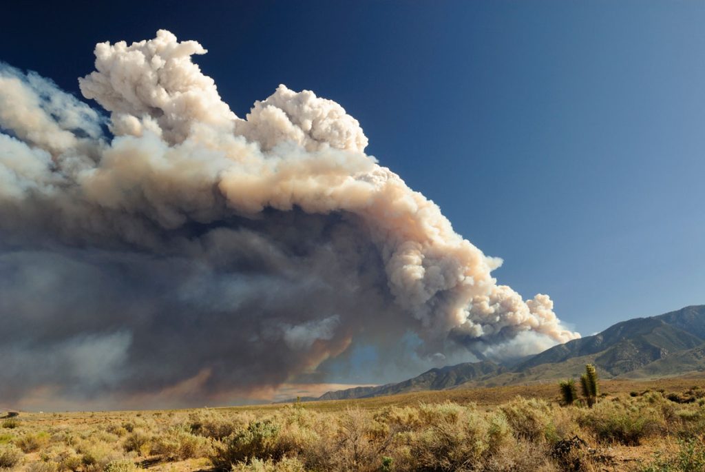
Firefighters in California battle 775,000 acres of fires from dry lightning. SIG built Pyregence, a wildfire forecasting tool
Simple Tech For Land Management: Training Local Users For Faster, Cost-Effective Results

Tribal leaders in remote Vietnam now use e-tablets to map lands, showing how tech helps rural communities leapfrog development and modernize.
SERVIR-Amazonia Brings Data To The Ground For Better Decision-Making In The Amazon
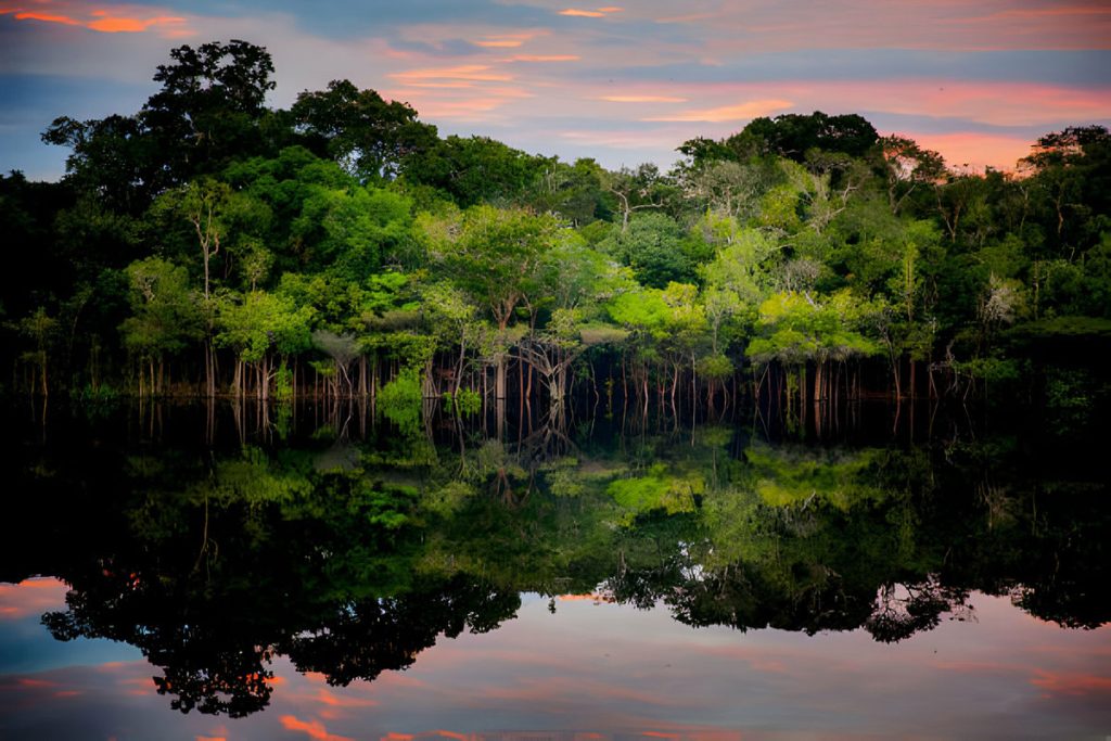
Followers of environmental issues in the Amazon scarcely go a week without seeing news about threats to the biome. The region has been devastated with countless and constant hazards. For example, each year it experiences natural hazards like wetland degradation, salinization, destructive flooding, and severe fires, all compounded by climate change.
Hot But Not Bothered: Urban Green Space Leads To Better Health, Social Benefits

Decades of scientific research have been suggesting that humans accrue many positive benefits from nature, whether that nature be in an isolated preserve, in urban green space within the confines of a city, or simply with a look at a painting of a forest.
