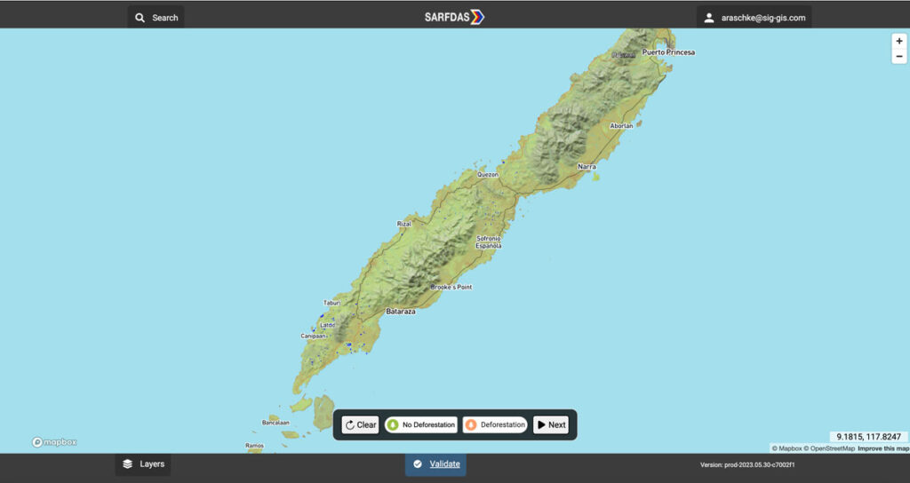
Synthetic Aperture Radar Forest Disturbance Alert System

The Synthetic Aperture Radar Forest Disturbance Alert System (SARFDAS) is a powerful tool for detecting forest disturbances, integrating state-of-the-art technologies, automation, and human-based verification in a clean web interface for more timely and accurate decision-making and field response. SARFDAS leverages Synthetic Aperture Radar from the European Space Agency to identify forest disturbances even under inclement conditions when multispectral satellite imagery is patchy.
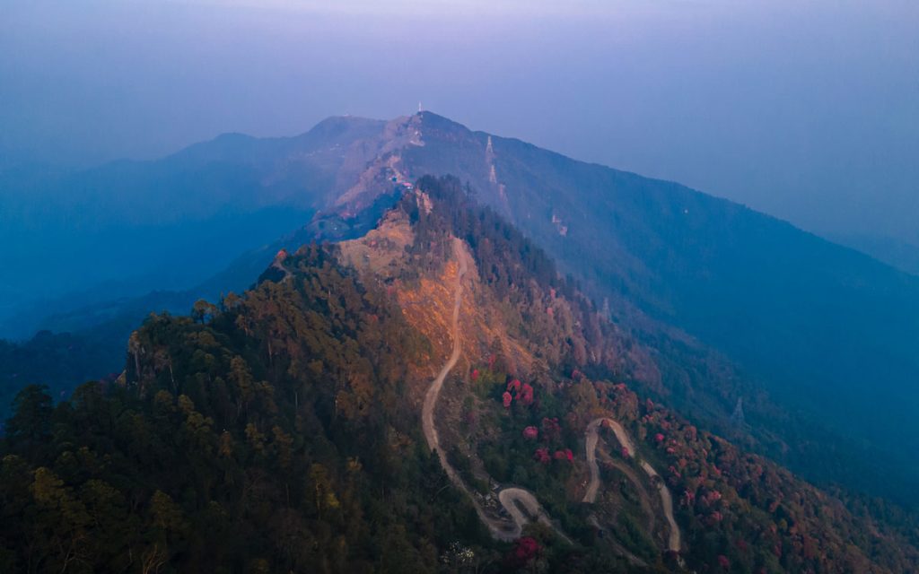
Mapping Forest Degradation In Nepal With Remote Sensing

Under international climate change agreements, countries must estimate greenhouse gas emissions related to deforestation and forest degradation.
In cases of deforestation—when trees are cut and replaced by annual crops, for instance—the change in land cover is clearly visible. Forest degradation, by contrast, is more subtle. Trees are lost but the land remains forested and often recovers quickly—making the changes hard to detect.
SERVIR-Amazonia Brings Data To The Ground For Better Decision-Making In The Amazon

Followers of environmental issues in the Amazon scarcely go a week without seeing news about threats to the biome. The region has been devastated with countless and constant hazards. For example, each year it experiences natural hazards like wetland degradation, salinization, destructive flooding, and severe fires, all compounded by climate change.
