Regional Land Cover Mapping System (RLCMS)
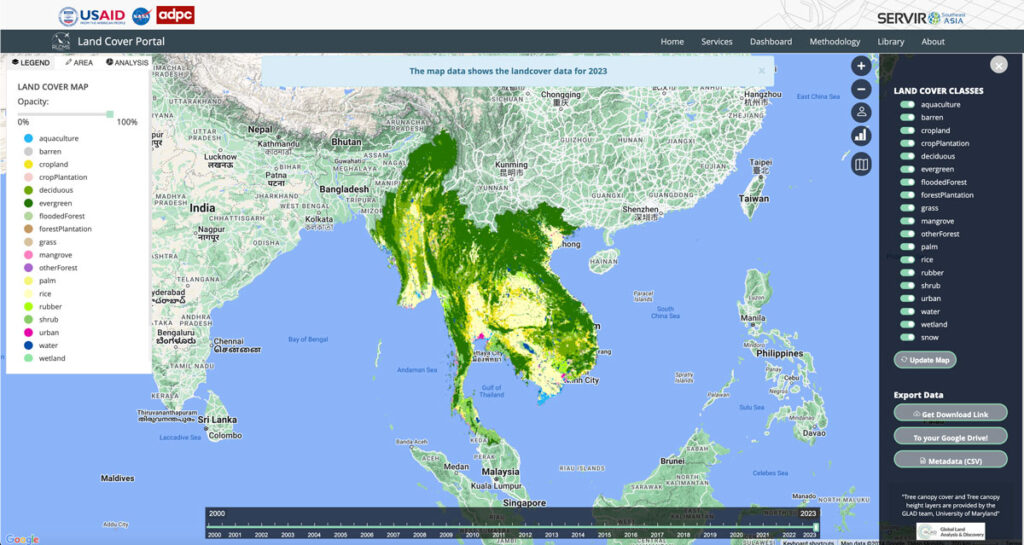
Collaborating with NASA’s SERVIR Southeast Asia (SEA) and the Asian Disaster Preparedness Center (ADPC), Spatial Informatics Group developed AI technology to create yearly land cover maps for various uses, such as monitoring land use, land cover change, crop mapping, and more.
Cultivating Success: Cambodia’s Crop Mapping Powered By Tensorflow And Google Earth Engine
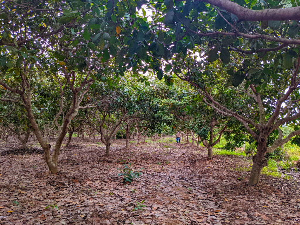
To ensure that the initiatives developed adequately addressed Cambodia’s needs, SIG teams worked closely with the Cambodian Department of Agriculture and Land Resource Management (DALRM), identifying gaps in the existing data and developing a remote sensing-based approach to improve existing methods of crop mapping.
Mapping Forest Degradation In Nepal With Remote Sensing

Under international climate change agreements, countries must estimate greenhouse gas emissions related to deforestation and forest degradation.
In cases of deforestation—when trees are cut and replaced by annual crops, for instance—the change in land cover is clearly visible. Forest degradation, by contrast, is more subtle. Trees are lost but the land remains forested and often recovers quickly—making the changes hard to detect.