BehavePlus 7
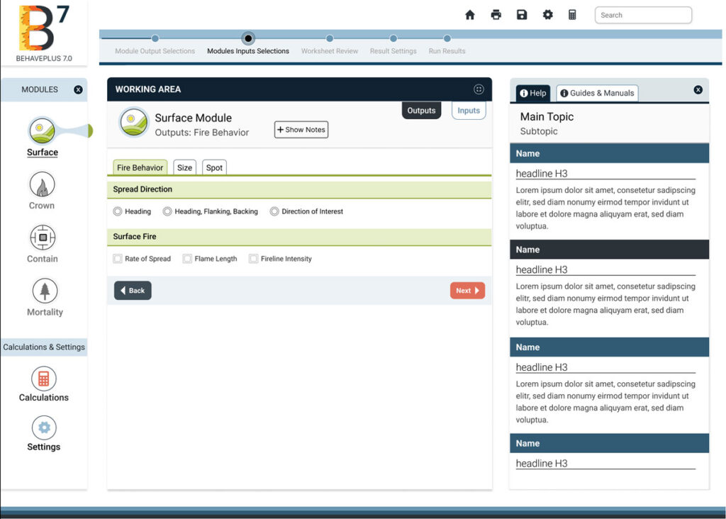
BehavePlus 7 is a desktop app that predicts fire behavior and environment using models. It simulates fire spread rate, spotting distance, scorch height, tree mortality, fuel moisture, wind speed effects, and more.
PyreCast
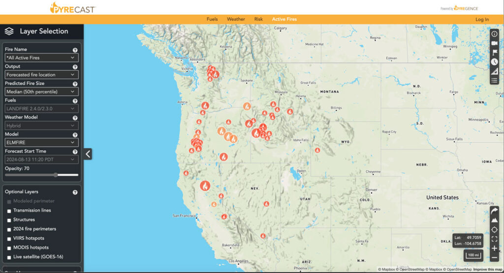
PyreCast empowers agencies and individuals to make decisions regarding evacuation orders, suppression and containment strategies, power grid shut-offs, and more by providing them with near real-time fire updates, fire spread forecasts, and fire risk assessments.
Planscape
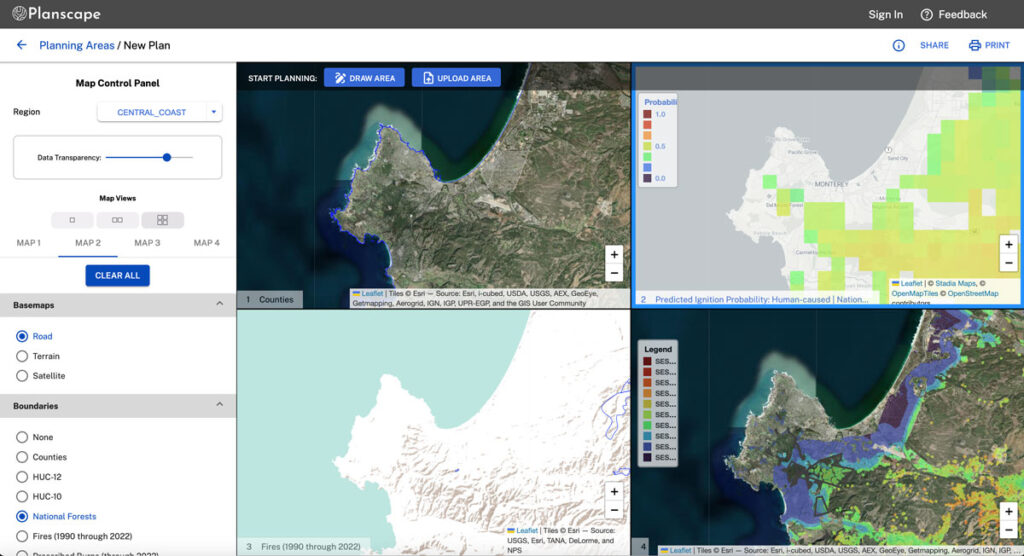
Planscape is a free decision support tool built to maximize wildfire resilience and ecological benefits across the State of California.
Planscape helps regional planners prioritize landscape treatments to mitigate fire risk, maximize ecological benefits and help California’s landscapes adapt to climate change
Planscape is a collaborative effort by the California Natural Resources Agency and US Forest Service, The University of California, and Spatial Informatics Group (SIG) with support from Google.org.
Technology Clearinghouse
The TCH, being developed by SIG and aims to enhance public transparency and access by offering a comprehensive database for comparing emissions control information. This platform will allow users to identify community-specific actions that yield significant air pollution reductions from both stationary and mobile sources.
CAL-ADAPT Analytics Engine
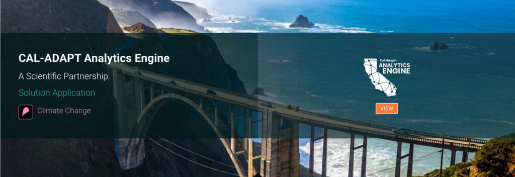
The Cal-Adapt: Analytics Engine is designed to provide access to and tools for utilizing the rich set of climate data downscaled for California. The methodology for prioritizing these tools is detailed in our “Co-Production Process” section, which focuses on assessing actual users’ needs and incrementally developing functional analytics tools in collaboration with users.
California’s Fourth Climate Assessment
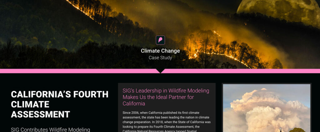
Since 2006, when California published its first climate assessment, the state has been leading the nation in climate change preparation. In 2018, when the State of California was looking to prepare its Fourth Climate Assessment, the California Natural Resources Agency tapped Spatial Informatics Group to serve as author and coauthor of two of the reports that went into the assessment
Greenhouse Gas Accounting in Indonesia
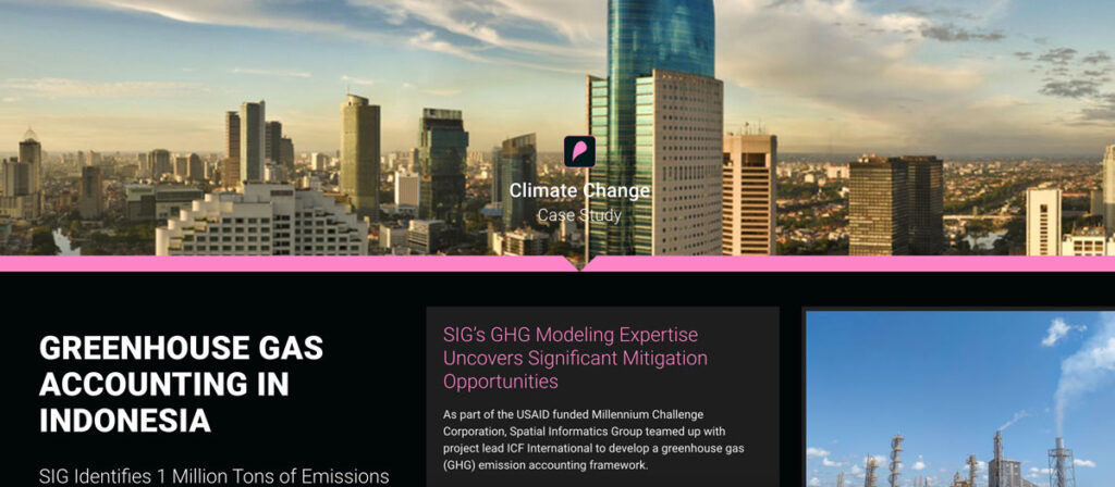
As part of the USAID funded Millennium Challenge Corporation, Spatial Informatics Group teamed up with project lead ICF International to develop a greenhouse gas (GHG) emission accounting framework.
Sustainable Working Forests
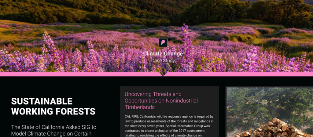
CAL FIRE, California’s wildfire response agency, is required by law to produce assessments of the forests and rangelands in the state every seven years. Spatial Informatics Group was contracted to create a chapter of the 2017 assessment relating to modeling the effects of climate change on California’s 32 million acres of forest.
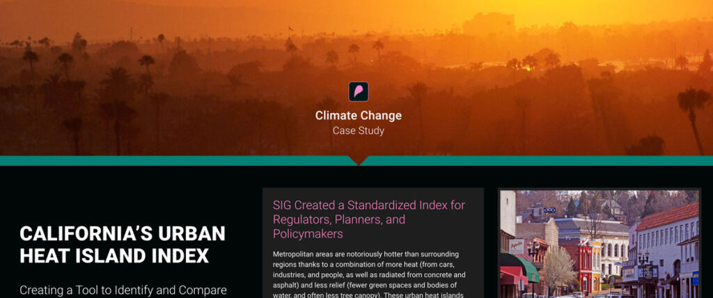
California’s Urban Heat Island Index
CAL FIRE, California’s wildfire response agency, is required by law to produce assessments of the forests and rangelands in the state every seven years. Spatial Informatics Group was contracted to create a chapter of the 2017 assessment relating to modeling the effects of climate change on California’s 32 million acres of forest.
Low-Risk Bioenergy Can Be A Critical Climate Solution

A group of bioenergy experts, including several members of the SIG Team, are pushing for its use to comply with the newly final Clean Power Plan claiming low-risk versions of the energy source offer a host of benefits ranging from reducing greenhouse gas emissions to restoring degraded lands. Read their full opinion piece here.