California’s Fourth Climate Assessment
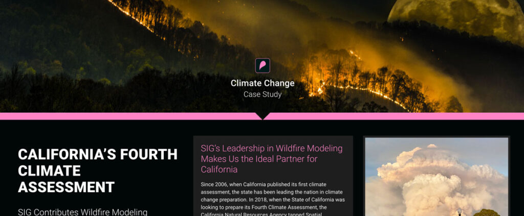
Since 2006, when California published its first climate assessment, the state has been leading the nation in climate change preparation. In 2018, when the State of California was looking to prepare its Fourth Climate Assessment, the California Natural Resources Agency tapped Spatial Informatics Group to serve as author and coauthor of two of the reports that went into the assessment
Greenhouse Gas Accounting in Indonesia
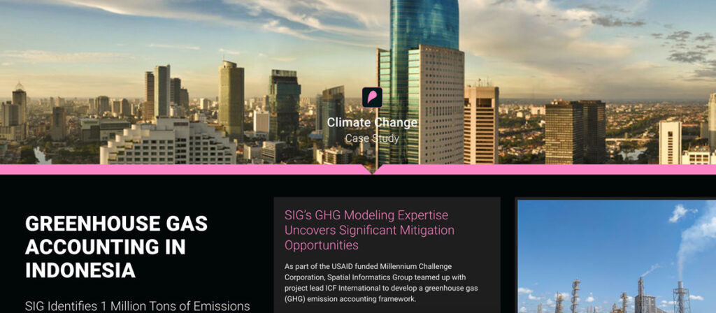
As part of the USAID funded Millennium Challenge Corporation, Spatial Informatics Group teamed up with project lead ICF International to develop a greenhouse gas (GHG) emission accounting framework.
Sustainable Working Forests
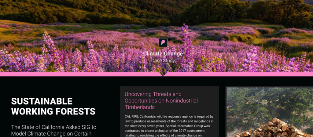
CAL FIRE, California’s wildfire response agency, is required by law to produce assessments of the forests and rangelands in the state every seven years. Spatial Informatics Group was contracted to create a chapter of the 2017 assessment relating to modeling the effects of climate change on California’s 32 million acres of forest.
California’s Urban Heat Island Index
CAL FIRE, California’s wildfire response agency, is required by law to produce assessments of the forests and rangelands in the state every seven years. Spatial Informatics Group was contracted to create a chapter of the 2017 assessment relating to modeling the effects of climate change on California’s 32 million acres of forest.
Low-Risk Bioenergy Can Be A Critical Climate Solution
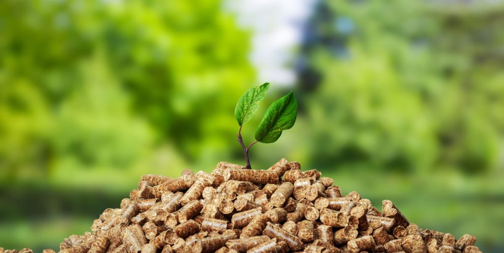
A group of bioenergy experts, including several members of the SIG Team, are pushing for its use to comply with the newly final Clean Power Plan claiming low-risk versions of the energy source offer a host of benefits ranging from reducing greenhouse gas emissions to restoring degraded lands. Read their full opinion piece here.
Land Trusts In Northeastern U.S. Can Enroll In The Carbon Market And Become Future Ancient Forests
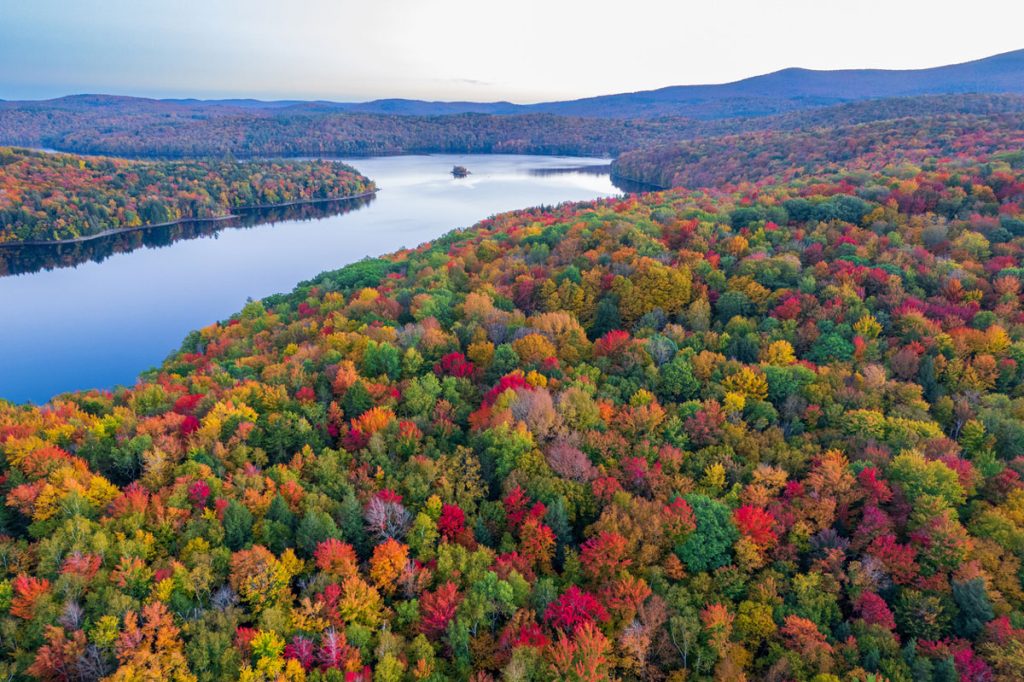
Northeast Wilderness Trust (NEWT), SIG Carbon, and the Inlandsis Fund have teamed up to create an exciting new forest carbon aggregation initiative called Wildlands Carbon. Land trusts across the Northeastern United States
Can You Fight Climate Change By Burning Wood? It’s Complicated
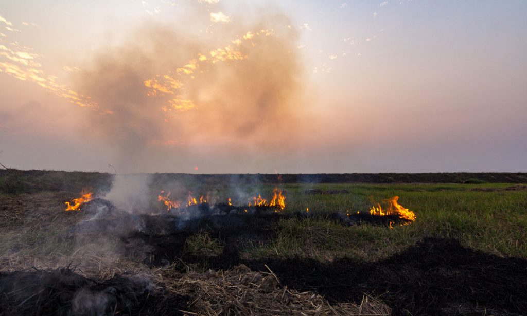
Wood grown in the United States is being ground up, dried out, pressed into pellets, and shipped to Europe, where power plants burn it to make electricity.
Is this good for the planet?
Pyregence Launches New Forecasting Tool For Tracking Active Fire Spread
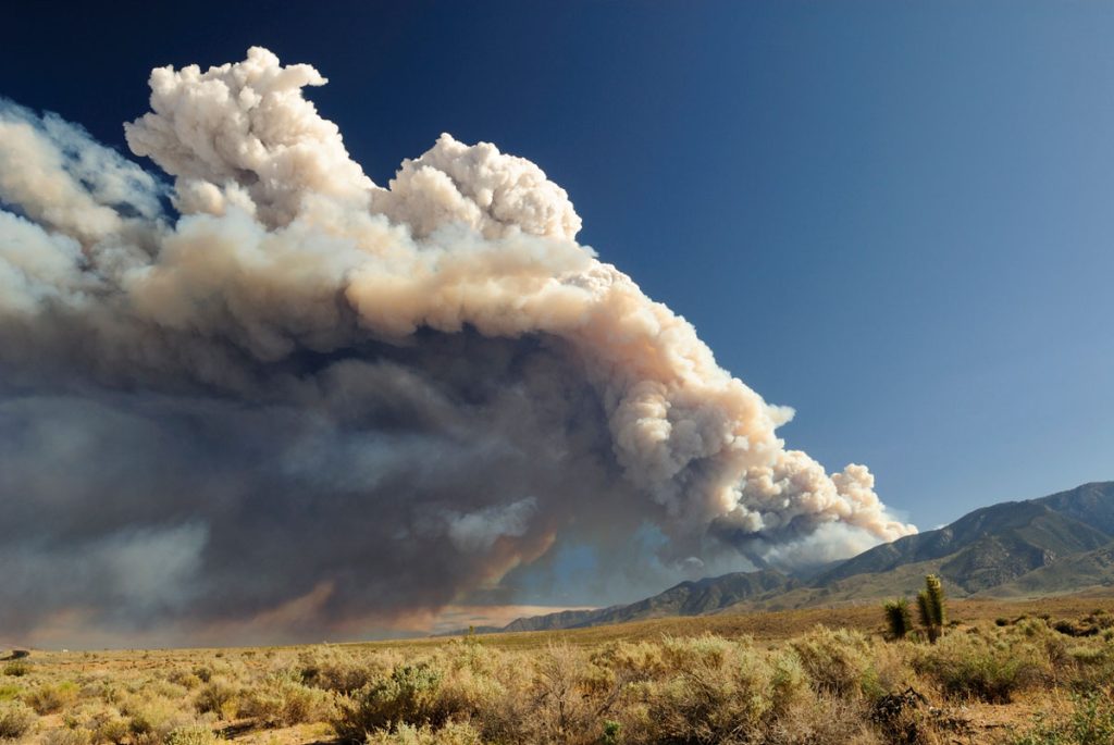
Firefighters in California battle 775,000 acres of fires from dry lightning. SIG built Pyregence, a wildfire forecasting tool
Hot But Not Bothered: Urban Green Space Leads To Better Health, Social Benefits

Decades of scientific research have been suggesting that humans accrue many positive benefits from nature, whether that nature be in an isolated preserve, in urban green space within the confines of a city, or simply with a look at a painting of a forest.
Connecting Space To Village: Bringing Satellite Data To The Ground To Improve Lives
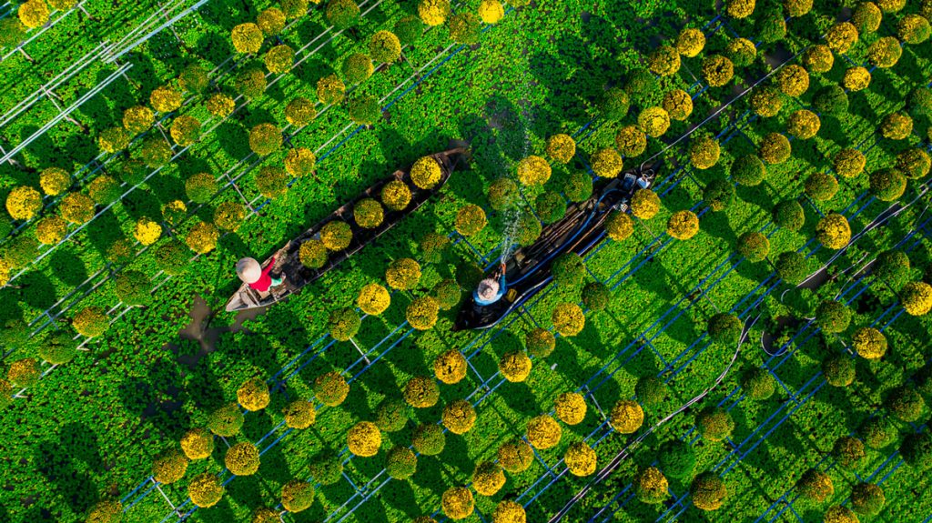
SERVIR has been set up in many regions of the world, and the Lower Mekong Region is one of them. SERVIR-Mekong focuses on predicting seasonal crop yields, assessing how future climate change will impact the region, monitoring the landscape and the ecosystem services it provides, and developing climate change adaptation tools for agriculture, rangelands, fisheries and aquaculture. Over large landscapes, in complex ecosystems, and in a changing climate, people often do not have the information they need to solve local, national, and regional land use challenges.

