SIG And SIG-NALS Latest Newsletter Is Online

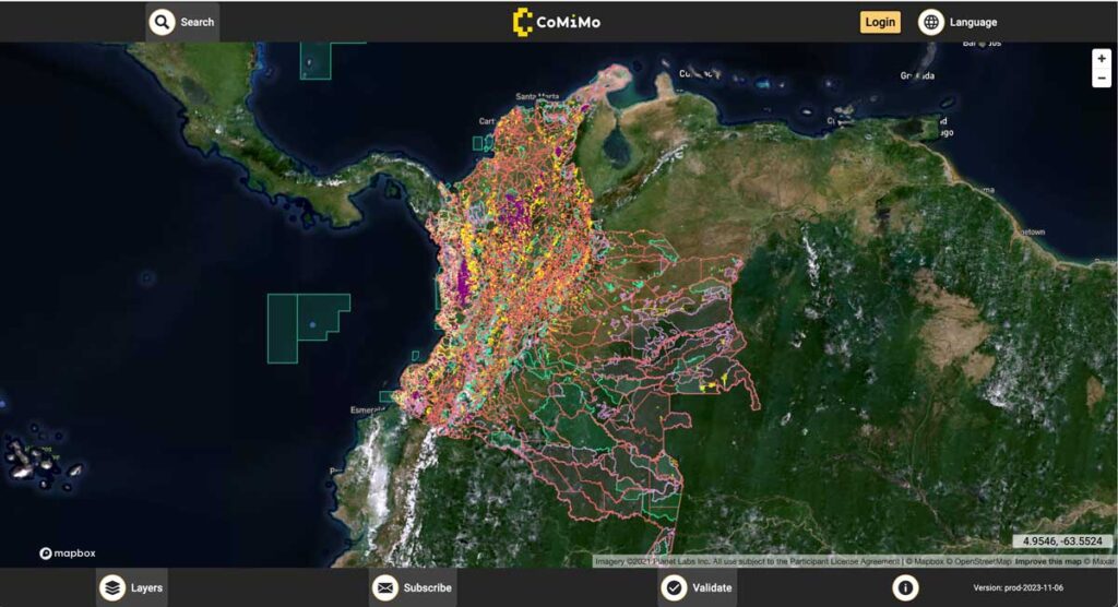
SIG co-developed software to remotely monitor gold mining activity in Colombia. Illegal mining is a driver of deforestation and this project aims to empower authorities to respond quickly and appropriately. CoMiMo, which is available for desktop in both English and Spanish, uses satellite imagery and artificial intelligence to identify threatened areas.
Cultivating Success: Cambodia’s Crop Mapping Powered By Tensorflow And Google Earth Engine

To ensure that the initiatives developed adequately addressed Cambodia’s needs, SIG teams worked closely with the Cambodian Department of Agriculture and Land Resource Management (DALRM), identifying gaps in the existing data and developing a remote sensing-based approach to improve existing methods of crop mapping.

