Solutions

Uncrewed Aircraft Systems

Fast, cost-effective, and detailed geospatial sensing

Spatial Informatics Group at the Forefront

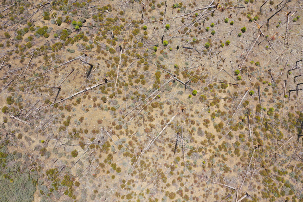
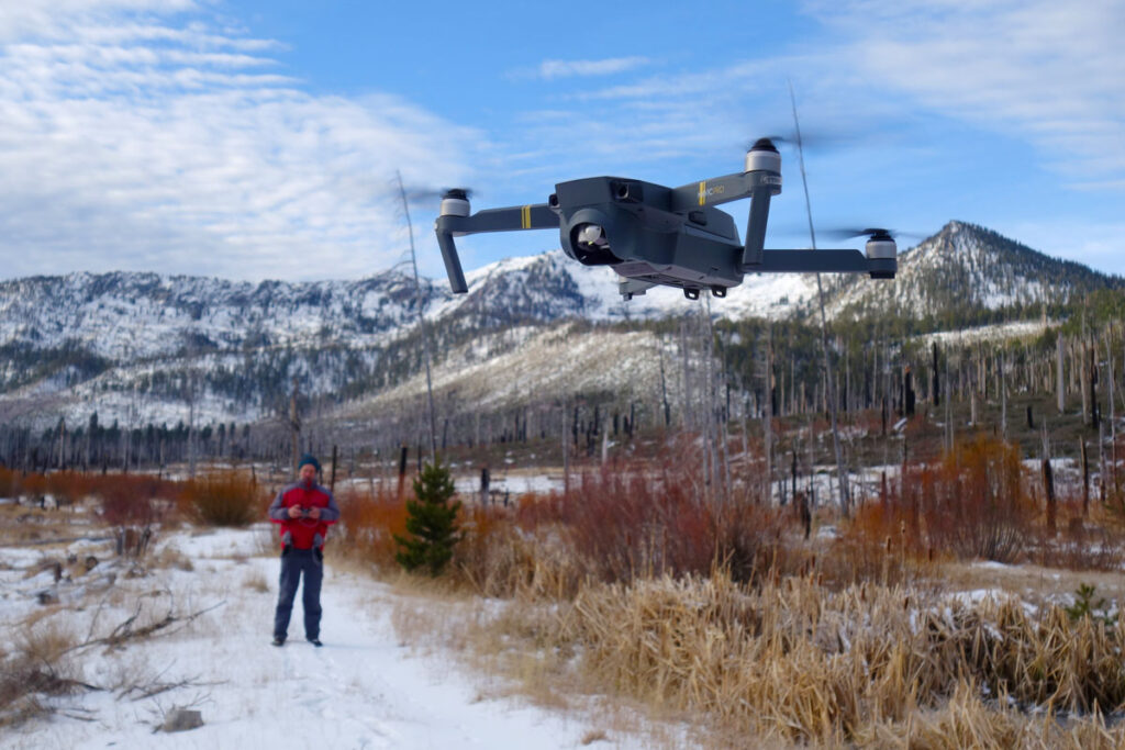
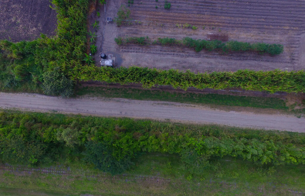
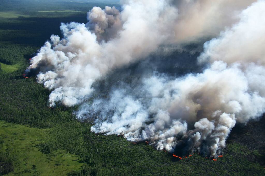
Uncrewed Aircraft Systems (UAS) are ideal for mapping areas under about four thousand acres. They yield extremely detailed results (3.5 cm resolution or better), feature the ability to be deployed quickly in response to sudden events, have the flexibility of working in short windows of optimal conditions, and cost far less than other methods.

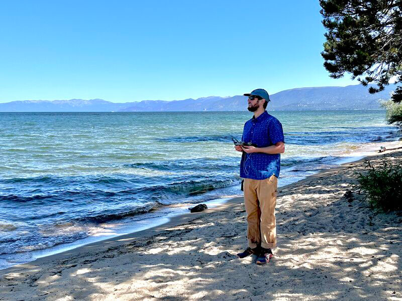
SIG’s drone team is FAA certified and has completed over 400 missions. With more than two decades of cumulative experience, SIG’s team has broad remote sensing experience that includes high resolution Redwood forest canopy imaging, aquatic invasive species monitoring in Lake Tahoe, quantifying forest carbon stocks on Apache lands in Arizona (a project that also included training local managers in UAS operation for ongoing monitoring), and more.

Our extensive operational experience and proprietary workflows put SIG at the cutting edge of UAS applications. Our partnership with the University of Vermont’s Spatial Analysis Lab ensures we are part of the conversation at the academic level as well.

The Right Drone

For the Job

SIG’s fleet of drones includes the fixed-wing Sensefly eBee Plus RTK and quadcopters like the DJI Mavic Pro and Pro 2, the Sensefly Albris, and the DJI Phantom 4. This mix of platforms allows us to utilize a wide range of sensors, including thermal and multispectral cameras, and high resolution video cameras.
Drone image
Drone image
drone image

How We Do It

Spatial Informatics Group works with our clients to identify the specific objectives of any UAS mission and to deploy appropriate hardware and processing technologies.
Drone images Variety & Flexibility

Variety & Flexibility

Deliverables can include high resolution orthomosaics, digital surface models, digital elevation or terrain models, contour maps, three dimensional textured models, feature extraction, volume calculations and stream cross sections, time series change detection, 360 degree panoramic views, and of course high resolution video and still imagery.
Uncrewed Aircraft Systems skilled and experienced team

Experience

SIG’s skilled and experienced team can also work with clients to develop custom landscape feature mapping and quantification solutions.
fast turnaround images

Fast Turnaround

Our UAS teams of two to four personnel can capture imagery over up to 250 acres per flight. For most projects, map product turnaround can be as little as 24 hours. We take care of all aspects of any mission, including selecting equipment, planning flights, and obtaining any required airspace clearance. Data capture is automated using state-of-the-art software. Our team will also collect control points on the ground across the landscape.

fast turn around

Precise

Following flight operations, we process the data to create stunning image mosaics that are the basis for further processing for feature extraction and mapping. The images are geo-rectified with the on-the-ground control points, ensuring precise and actionable geospatial products.
Accessible drone images

Accessible

Finally, we work with clients to ensure that UAS outputs are appropriate and accessible through easy to use, freely available internet and web mapping tools.

Many Applications

SIG’s clients use our UAS capabilities for a broad range of analysis and monitoring applications. These include natural resource and agriculture mapping and monitoring, landscape-wide tree mortality assessment, humanitarian flood hazards and impacts, monitoring of forest and wetland restoration, aquatic and terrestrial invasive species mapping and monitoring, construction site compliance, volumetric calculations, and imagery for public communications.

For example, the Tahoe Keys Property Owners Association in California contracted Spatial Informatics Group to develop site plans and to verify impervious coverage for 15 of their land holdings. SIG used a quadcopter platform with Pix4d mapping and image processing software to efficiently produce maps and coverage calculations in compliance with Tahoe Regional Planning Agency regulatory requirements. This effort represented the first ever application of this technology for this purpose – demonstrating its potential to greatly streamline and reduce the costs of compliance with regulatory requirements.

Let’s make
Change
Together