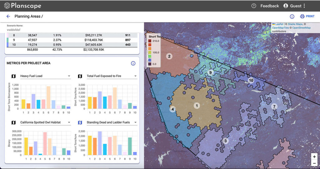
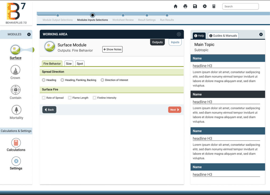
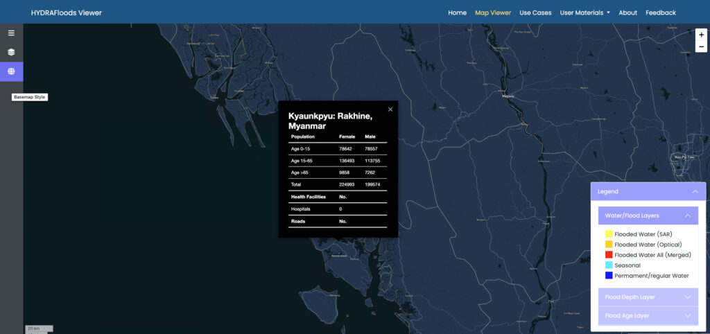
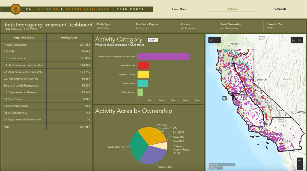
Our standalone tools synthesize data and information to enable land managers to forecast, mitigate and recover from natural hazards, principally wildfires. In line with Spatial Informatics Group’s open science philosophy, our software tools are open source and free to use online.
Developed with our professional partners, and helping risk managers and planners to meet their hazard and risk reduction objectives, SIG’s Natural Hazards tools create real change on the ground.