Close
Close

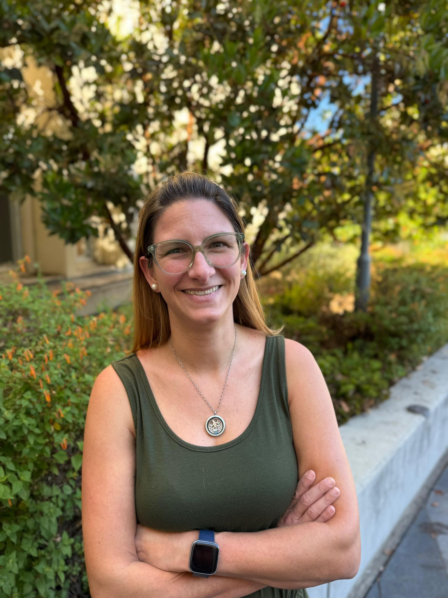
Fernanda López Ornelas is a Research Scientist and Geospatial Analysis Lab Manager with the Environmental Mapping Team at Spatial Informatics Group. A biologist and environmental manager with expertise in geospatial analysis, she is passionate about using technology to understand environmental phenomena.
Fernanda has a particular interest in remote sensing techniques and has been working on a project using satellite imagery to assess land cover change in the Water Forest region of Mexico. She has experience working in environmental education and conservation in Mexico, and she is currently collaborating in a project measuring aboveground biomass using lidar technology.
Fernanda holds a master’s in Environmental Management from the University of San Francisco and an undergraduate degree in Biology from Simon Bolivar University in Mexico.