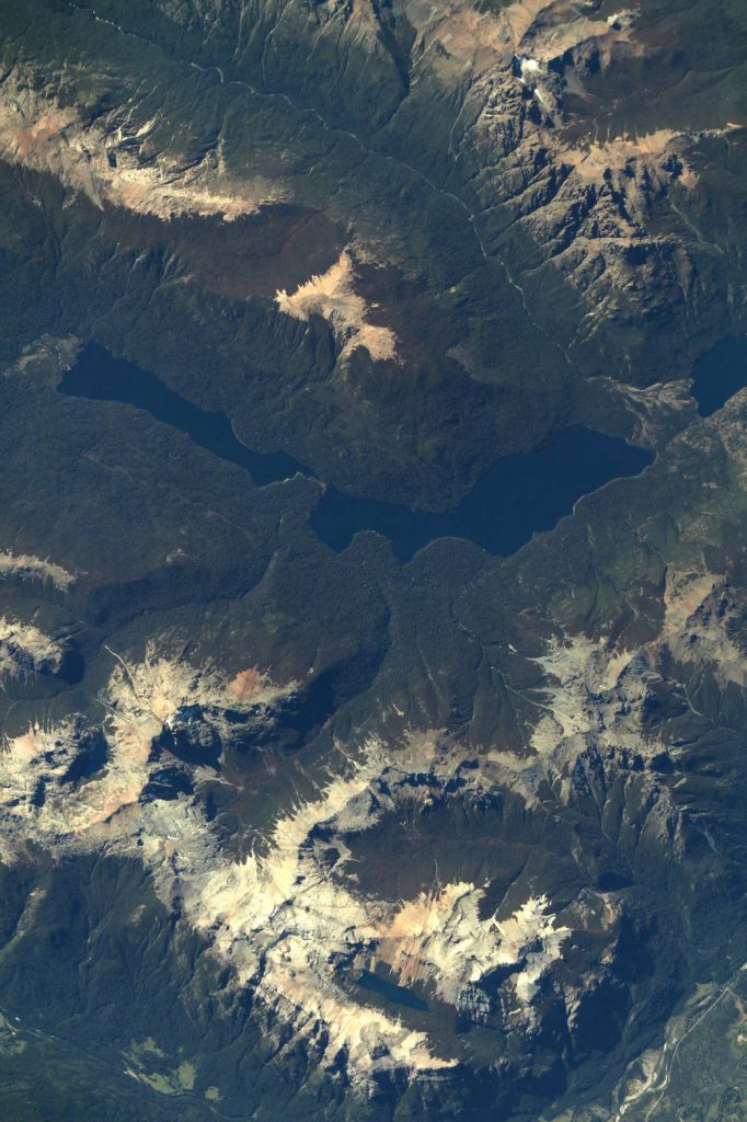
Followers of environmental issues in the Amazon scarcely go a week without seeing news about threats to the biome. The region has been devastated with countless and constant hazards. For example, each year it experiences natural hazards like wetland degradation, salinization, destructive flooding, and severe fires, all compounded by climate change.
Man-made hazards like deforestation, poorly planned transportation developments, illegal wildlife and poaching, water pollution and land degradation from mining and industrial activities, oil spills, air pollution, and habitat disruption from large hydroelectric dams also add to the hazards that Amazon ecosystems face. Political instability, the inability of entities to establish or enforce legislation for nature conservation, poverty and inequality compound these threats.
But, above all, rapid agricultural expansion perhaps poses the biggest peril to the region. Regionally and nationally, many nations in Amazonia are pushing for increasingly rapid development; they are encouraging clear cutting forests for unsustainable cattle ranching, oil drilling, soybean farming, and harvesting of exotic wood for wealthy international consumers. If deforestation at this rate continues, Amazonian rainforests could be gone within the lifetime of someone born today.
It is the former issue, cattle ranching, that scientists and economists have identified as the primary market pressure that is putting the Amazon in danger of collapse. Cattle pastures are currently estimated to occupy 80% of the deforested land in Amazonia. A burgeoning population (in Amazonia and around the world) that demands this beef drives this issue. If deforestation wasn’t enough, run-off from these pastures contaminates rivers, and fires used to clear the land often grow out of control. The eventual price paid for this economic growth will be the loss of biodiversity and animal habitat, and a decreasing quality of life for native people.
Amazonia is no different from many other threatened landscapes around the world, where local people – from policy makers to local NGOs to community members – often have poor or no information about natural hazards or development risks. Awareness campaigns may not exist, or not be effective if they weren’t designed with the interests of the target audience in mind. And on their own, local peoples often have little training or access to information that will allow them to respond to these risks even when they know they are present.
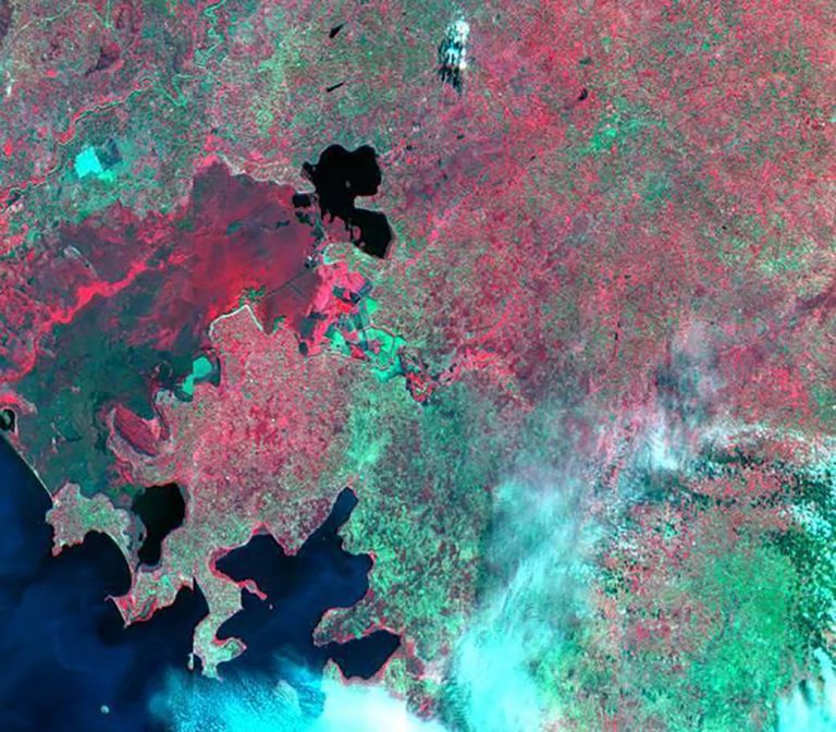
Also common in such landscapes is that governments and local academic institutions lack the resources to provide the detailed land use information that is needed to take positive action against these hazards. Information is typically piecemeal, outdated, insufficiently detailed, inaccessible due to poor telecommunications infrastructure or unusable due to the lack of specialists needed to make use of the information. Different institutions and groups may have collected high-quality information over the years, but central repositories are rare. This all leads to a lack of policies, laws and actions that can support sustainable development and natural resource protection.
A consortium of 21 partners – including SIG – are trying to change that with a new program – SERVIR–Amazonia – that brings geospatial information to sustainable development problems in the region.
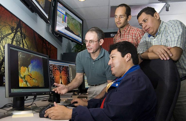
SERVIR-Amazonia, which was just announced yesterday, is part of SERVIR Global, a joint development initiative of the National Aeronautics and Space Administration (NASA) and the United States Agency for International Development (USAID). SERVIR-Amazonia is led by the International Center for Tropical Agriculture (CIAT) in Cali, Colombia. It brings together some of the world’s best researchers and development professionals, including from SIG, the Amazon Conservation Association (ACCA), the Institute of Agricultural and Forest Management and Certification (IMAFLORA) and 17 other organizations in the region.
Using state-of-the-art geospatial technologies, SERVIR-Amazonia will empower people across the region to track environmental changes, evaluate climatic threats, and rapidly respond to natural disasters in near real-time. By building the capacity of people and institutions to integrate science and technology into decision-making, USAID and NASA will support sustainability and self-reliance throughout the region.
SERVIR Amazonia will be one of five SERVIR hubs currently operating around the world. SERVIR connects USAID’s development network with NASA’s science, technology and satellite data. Together with leading regional organizations in Africa, Asia and Latin America, the SERVIR global network has developed demand-driven services, tools and trainings for decision-makers in more than 45 countries.
For example, SERVIR’s Enhanced Flood Early Warning Service is increasing flood forecast lead times in the South Asia region. This includes an operational 15-day flood forecast that integrates local data into a global model using methods co-developed by U.S. researchers, local experts, and decision-makers. Longer lead times and access to accurate, appropriate information ensures better preparedness for disaster responders, who can then ensure supplies and plans are in place to help communities evacuate, cope with or rebuild after disasters.
The aim of SERVIR-Amazonia reflects the aim of SERVIR globally: to use climate and Earth systems science to prevent, and mitigate the coupled impact of climate change, large infrastructure projects, and related development activities on vulnerable people and landscapes. SERVIR develops tools, products and services with stakeholders that will allow them to act on climate risk, specifically flood, drought, fire, and ecosystem planning and management. The program will extend to at least 2023, leaving many years to develop new and ever more useful products.
The new consortium will help government, institutions and communities develop geospatial services to reduce the negative impacts of infrastructure development and hydro-climatic events. It will do this by using publicly-available satellite imagery, geospatial data and maps to inform decisions in four areas: (i) drought and fire, (ii) water resources and extreme events, (iii) ecosystem management, and (iv) weather and climate.
Because it will be a regional hub, SERVIR Amazonia will promote collaboration among governments, universities, non-governmental organizations, community groups, and U.S. scientists. The ultimate goal is to improve local capacity to harness satellite data and geospatial information to foster sustainable natural resource management throughout the Amazon.
SERVIR-Amazonia will be SIG’s second partnership with the SERVIR program. SIG has already been working with SERVIR-Mekong for several years to bring geospatial analysis and capacity building to the people of the Mekong delta, helping them mitigate floods, improve crops, and protect their water supplies. SIG’s new work in Amazonia be based in Cali, Columbia, on the CIAT campus. SIG hopes this new work with SERVIR will be a base for building on other new projects in the Latin America region, delivering user-friendly and accurate data to people throughout Amazonia, helping them preserve this precious and precarious landscape.