Environmental Mapping & Carbon Offsets

Case Study / Solution

Improving Nepal’s Forest Change Estimation

Developing tools and training to streamline forest change measurement in Nepal

Nepal Forest Change Area Estimation Toolbox

SIG’s Environmental Mapping team partnered with SilvaCarbon to bring a suite of user-friendly tools to the Nepalese Forest Research and Training Center to help it comply with the UN’s Reducing Emissions from Deforestation and Forest Degradation in Developing Countries (REDD+) program.

Creating an Appropriate Package

Working with SilvaCarbon and SERVIR, SIG compiled tools like Google Earth Engine and Collect Earth Online into a freely-available website for the government to use. The package included written instructions for ease of use. These resources were then used for a workshop in Nepal to lead the team through the process, ensuring their understanding of the resources.

Ultimately, this project developed a novel methodology in the field of applied remote sensing through collaborative development with SIG’s partners in Nepal.

Nepal monitoring forest change area and degradation
LandTrendr algorithms
Nepal understanding the resources

Compliance, for Free

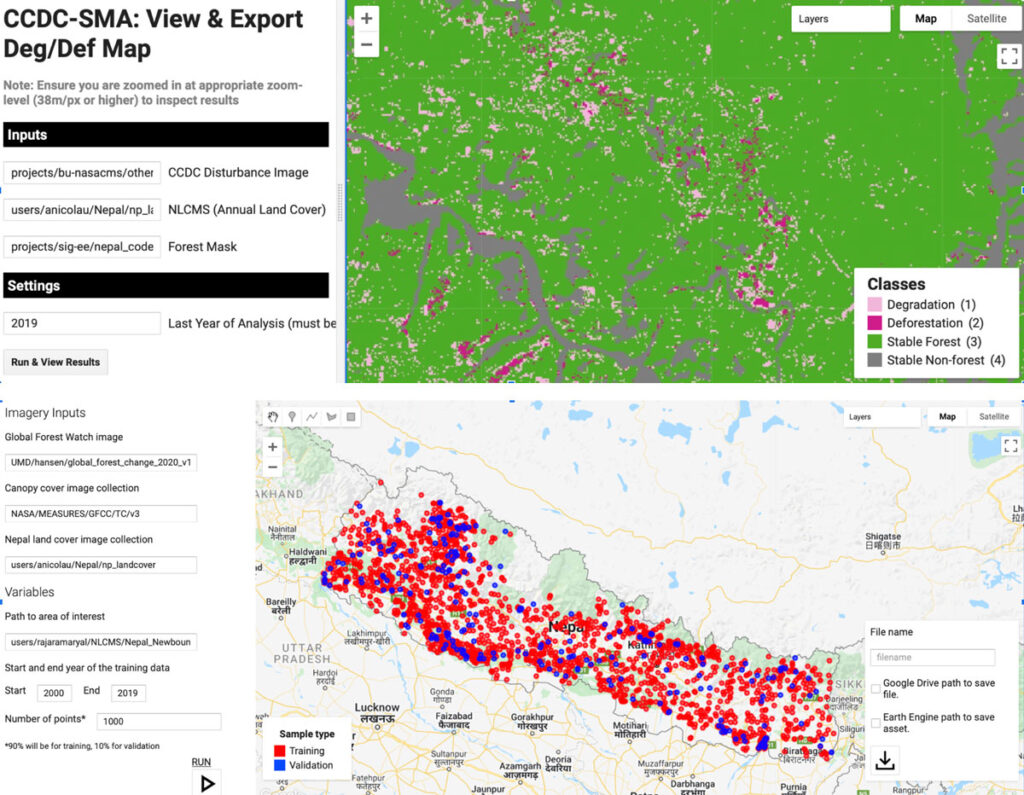
Following the workshop, the Nepalese government has been successful in monitoring forest change area and degradation, and are able to carry out their work independently.

Officials are now able to reliably assess forest change with quantified uncertainties, providing them opportunities for additional funding from the Carbon Fund. They also remain in compliance with the UN and World Bank.

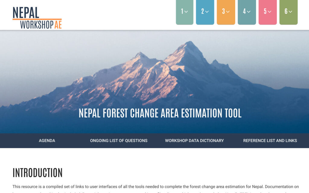
The suite of tools remains freely accessible to the public and continues to be valuable for officials and institutions monitoring these changes to the environment.

Training Website

This resource is a compiled set of links to user interfaces of all the tools needed to complete the forest change area estimation for Nepal. Documentation on how to use each tool is also included.