Close
Close
Carbon markets are based on the premise that sources (greenhouse gas-emitting power plants, vehicles, farm animal waste) and sinks (greenhouse gas-absorbing forests, biogas digesters, healthy soil) can be “traded” between states, regions and countries to help each other offset and reduce overall carbon emissions. While carbon markets are not a perfect solution to atmospheric carbon reduction, they have benefits…not least of which is getting communities to take stock of their natural resources and find ways to better manage, protect, and restore them.
California has, unsurprisingly, been a leader in carbon markets in the United States. Over 10 years ago, the state legislature passed Assembly Bill 32 (AB32), the Global Warming Solutions Act of 2006. AB32 defined the most ambitious and legally-binding climate policy in the US. It required California’s greenhouse gas emissions return to 1990 levels by the 2020 – which was presciently on target with the current Mission 2020 set out by the United Nations Framework Convention on Climate Change (UNFCCC) to stop and reverse carbon emissions trends no later than 2020.
The centerpiece of the AB32 is a comprehensive carbon market. Such a market has meant that California businesses have to curb emissions, utilities have to rethink where they are getting their power from, and communities have to take stock of their carbon sinks and calculate the carbon being stored. Such valuation serves the carbon market, but just as importantly, benefits the health of the communities those assets (forests, lakes, urban green space) exist in.
However, taking stock of carbon sinks is not a straightforward task. This is largely because of insufficient data on carbon inputs and outputs of products or activities. For example, when producing an “eco-friendly” pair of shoes, one must take into account where the fabric dye was sourced from. One must account for how many emissions were created in it’s manufacture. one must account for the emissions workers produced in their personal transportation. And so on and so on, up until the point where the product is broken back into it’s component parts. To this, scientists need detailed knowledge of not only the sourcing and manufacturing processes of the shoes, but also reliable information on how all of these processes create or absorb GHGs.

Similarly, to be truly “green,” community planning must take a multitude of factors into account. But, understanding carbon emissions from the hundreds to thousands of activities, inputs and unknowns that are part of community planning is a challenge, to say the least.
While no single solution to this challenge exists, “knowledge integration” is increasingly being used to fill in some of the unknowns. “Knowledge integration” refers to the blending of traditional knowledge with scientific expertise in order to gain a clearer understanding of complex environmental circumstances. Attention for knowledge integration is rapidly growing because it can enhance bio-cultural diversity, promote social justice for indigenous peoples, and provide new methods for environmental management.
Numerous studies around the world have shown that knowledge integration through participatory approaches helps monitor land use change, but also helps communities stem or adapt to these changes. For example, one study in Panama produced three land cover maps – two of which were based on digital image processing using satellite imagery – and one which was based on participatory input from indigenous peoples. The accuracy of the maps was then evaluated using field data, and it was found that the participatory mapping was remarkably (83.7%) accurate.
In the U.S., Native American communities have been managing their land successfully for a millennium. Using knowledge integration to help these communities manage their lands even better is a technique that is rightfully gaining ground. This is particularly true in California and other parts of the West where carbon markets are playing a large role in local development decisions. True to this trend, two recent SIG projects on the Fort Apache Indian Reservation in eastern Arizona used just such an approach.
The Fort Apache reservation encompasses 1.68 million acres covered with diverse vegetation and topography, transitioning from juniper and desert shrub to spruce-fir forest as the elevation increases from 2,600 feet in the west to 11,400 feet in the east. The Reservation is a critical watershed for Arizona and provides important habitat for wildlife such as elk, Mexican Spotted Owl, loach minnow and Apache trout. The Reservation’s forest ecosystem also provides important cultural, economic, and recreational value to the White Mountain Apache Tribe. They hike, ski, fish, hunt, camp and produce timber from the highest point, Mount Baldy, down to the lowest point in Salt River Canyon

However, because of the diversity of ecosystems and land uses, the Reservation requires complex land management. In addition to diverse vegetation and topography, its’ climates range from semi-tropical to semi-arid. Storms with lightening are frequent, as are large amounts of precipitation during the summer monsoon season. Reforestation is needed in some areas of the reservation, but aggressive harvesting and fire fuel management is needed in other areas. This requires a delicate balance between fire management and carbon sequestration. But despite this complicated system, the Apache tribe has been competently managing their land through thinning and controlled burns since at least 1918. As a result, tree mortality levels from insects and forest pathogens are well below those of neighboring forests.
The Apache tribe recognized that carbon markets offered ways to both offset global carbon emissions and create sustainable profits that could be re-invested in the tribe. Despite their past forest management successes, the Apache needed assistance navigating the technicalities of a large-scale forest carbon offset project. That’s where SIG came in. The Apache asked SIG to serve as a land management consultant and guide them through California’s complex carbon market regulations.
SIG came on board to help crunch numbers for the Apache tribe’s first forest carbon offset project. At the time it was the largest improved forest management carbon project under California’s cap-and-trade compliance regulatory program. Inspired by the success of this first project, the Apache tribe asked SIG to lead development of a second, even larger, forest carbon offset project. The goal was to manage the forest to increase and conserve carbon stocks – and therefore carbon dioxide sequestration – through uneven-aged management. SIG then did a financial analysis of the anticipated growth and harvesting regimes that captured all costs and returns given the legal, physical, and biological constraints. Results showed that the new growth and harvesting regimes were financially feasible and ecologically sound.
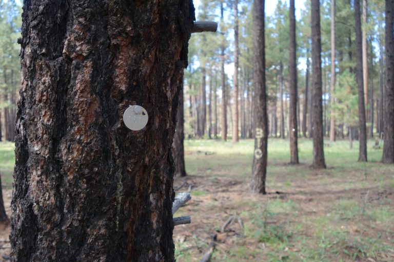
One of SIGs’ goals for the Apache tribe was to feel ownership of the projects and to be able to independently integrate carbon management into long-term tribal planning. These projects are legally required to be 100 years long, therefore inter-generational buy-in is needed to ensure sustainability. To this end, SIG has trained tribal members to do the annual forest monitoring, instead of contracting it out. SIG also helped the tribe identify ways for timber mill employees to earn income while maintaining or increasing carbon stocks. The result of these efforts is that tribal members are generating continuous revenue that can be re-invested into the community.

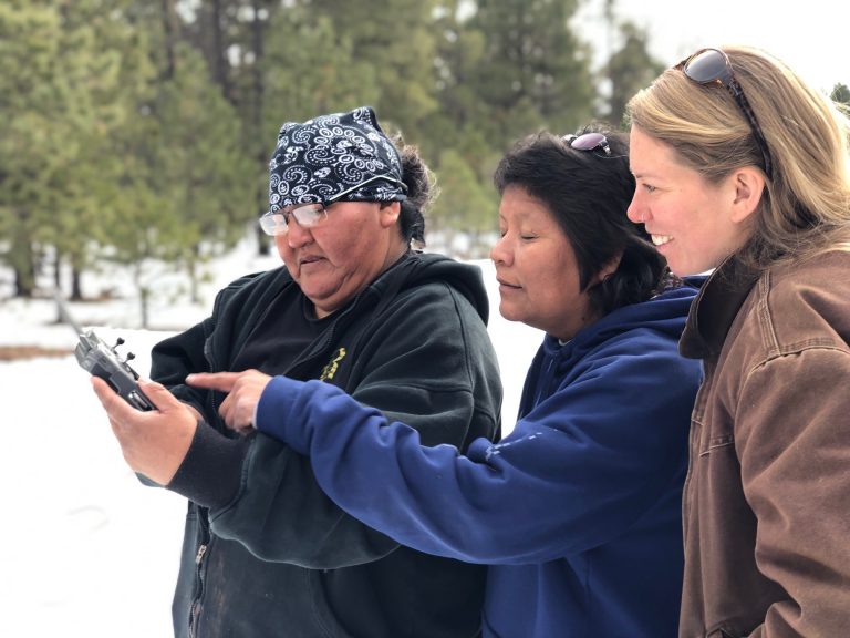
Recently, SIG proposed integrating a drone program into annual forest monitoring for the carbon projects, making monitoring faster and easier. SIG will train tribal members on drones and related technology that can be help answer land management and planning questions. Understanding these technologies will help tribal members self-monitor their lands, and reduce the carbon program’s MRV costs and improve user’s career prospects.
SIG has also helped the tribe apply for a NASA grant to fund a student’s education on GIS platforms and related technologies. These platforms will help tribal land managers document forest pest encroachment, visualize wildfire risks and prescribe burns that can best preserve wildland-urban interfaces, and analyze habitat conditions of the trophy elk on the reservation.
The White Mountain Apache Tribe were already impressive land managers. Through knowledge integration and technical training from SIG, they will manage their forests even better. And, they will conserve more carbon, earn more income, and have job skills that will help them sustain their lands, their people and way of life long into the future.