Illegal Mining on the Rise
According to the United Nations Office of Drugs and Crime, illegal gold mining has been increasing in Colombia over the years, hitting a new high in 2020. Due to the nature of these activities, intervention can be dangerous for officials who are monitoring the area, so anonymity and data security are of high importance when developing new tools.
CoMiMo for Monitoring and Reporting
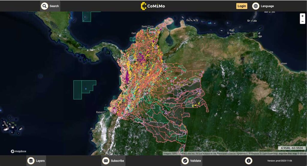
Leveraging the toolset of Collect Earth Online, another tool developed by SIG and partners, CoMiMo overlays different geographic information over a base layer of satellite imagery. Overlays include AI-generated predictive models, demonstrating possible areas of illegal activity, as well as confirmed spatial information such as municipal boundaries, official mining operations, and more. Users can also report their own findings via coordinates, export to external GIS software, and access a variety of statistics they may find useful for the monitoring process.
Machine Learning in CoMiMo
Users can also assist in CoMiMo’s predictive modeling systems by improving its accuracy through the validation process. Technicians simply examine the AI’s predictions of illegal mining areas within the map, which is outlined and labeled for the user, and respond by confirming or denying the model’s accuracy. This, over time, trains the AI to be even better at finding actual mining operations, making the software continually easier to use.
Monitoring and Verification: Mining and Beyond
Through the use of CoMiMo officials are able to monitor mining activities more safely and easily than ever before, with the tool showing great promise for reducing these intrusions in the future. Additionally, the open-ended nature of this software could permit its use in other sectors, such as agricultural monitoring, which may prove invaluable.
