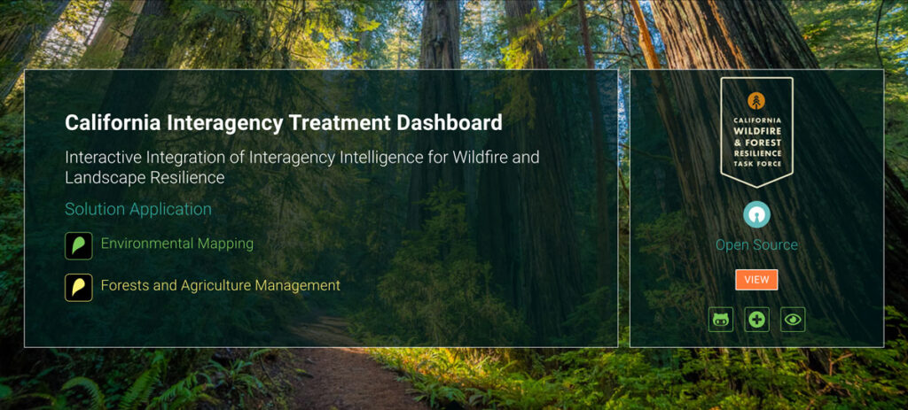
California Interagency Treatment Dashboard

SIG developed a free, open science dashboard that combines wildfire and landscape resilience project information from over a dozen different state and federal agencies. The dashboard provides a broad overview of statewide information, including summary statistics, and also allows users to drill down to specific projects along a number of different dimensions.
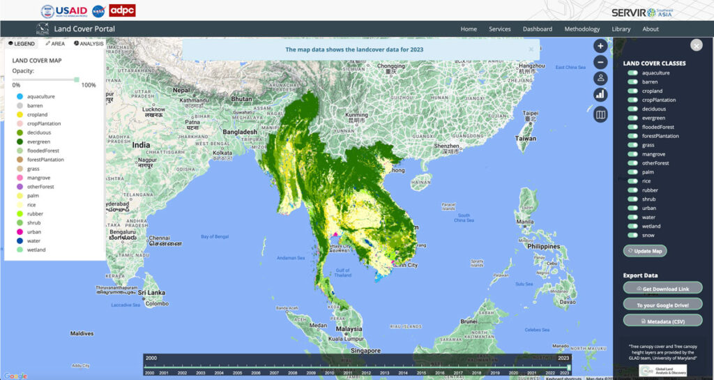
Regional Land Cover Mapping System (RLCMS)

Collaborating with NASA’s SERVIR Southeast Asia (SEA) and the Asian Disaster Preparedness Center (ADPC), Spatial Informatics Group developed AI technology to create yearly land cover maps for various uses, such as monitoring land use, land cover change, crop mapping, and more.
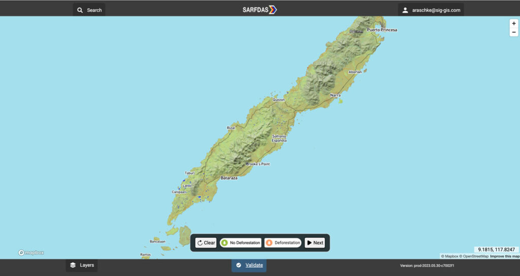
Synthetic Aperture Radar Forest Disturbance Alert System

The Synthetic Aperture Radar Forest Disturbance Alert System (SARFDAS) is a powerful tool for detecting forest disturbances, integrating state-of-the-art technologies, automation, and human-based verification in a clean web interface for more timely and accurate decision-making and field response. SARFDAS leverages Synthetic Aperture Radar from the European Space Agency to identify forest disturbances even under inclement conditions when multispectral satellite imagery is patchy.
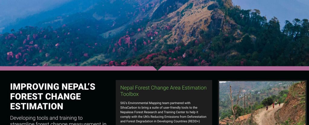
Improving Nepal’s Forest Change Estimation

SIG’s Environmental Mapping team partnered with SilvaCarbon to bring a suite of user-friendly tools to the Nepalese Forest Research and Training Center in Nepal.
