Mekong Drought & Crop Watch
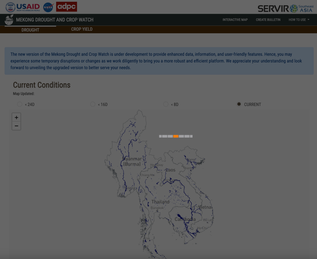
Working with SERVIR-SEA, SIG co-developed a tool in Google Earth Engine to monitor and respond to drought events in the Lower Mekong, as well as tools to plan and model agricultural decisions in the region. The freely accessible tool is open source and adaptable to different use cases, minimizing risk and cost during drought events.
Biophysical Monitoring and Evaluation Dashboard
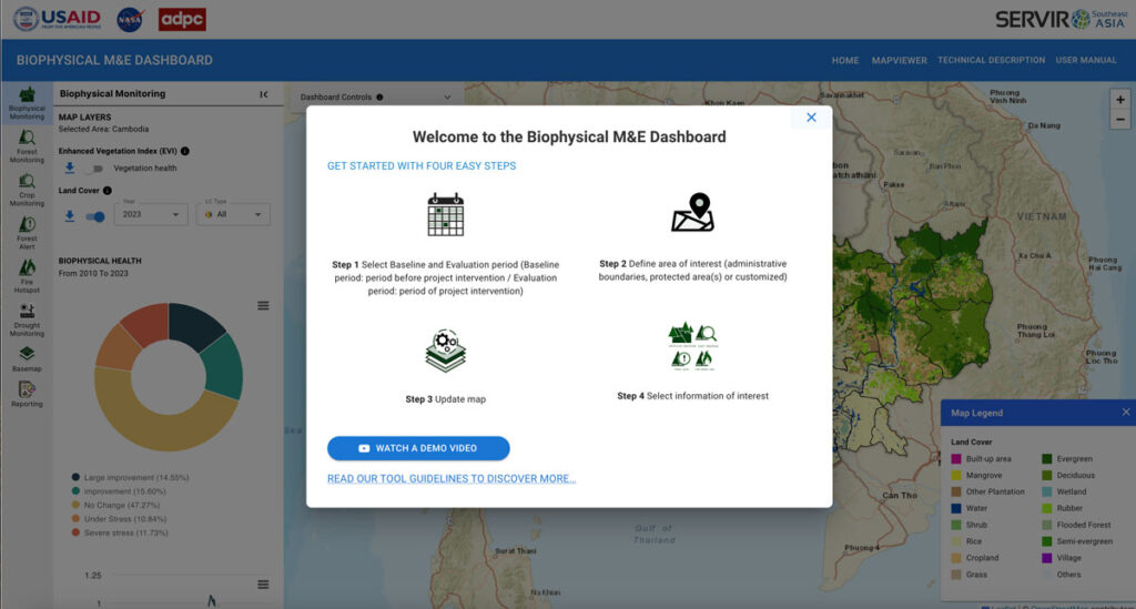
In support of USAID’s initiative to monitor and evaluate land cover change in Cambodia, Spatial Informatics Group and SERVIR SEA created an application powered by Google Earth Engine to allow the nation to track progress on various conservation projects.
HYDRAFloods
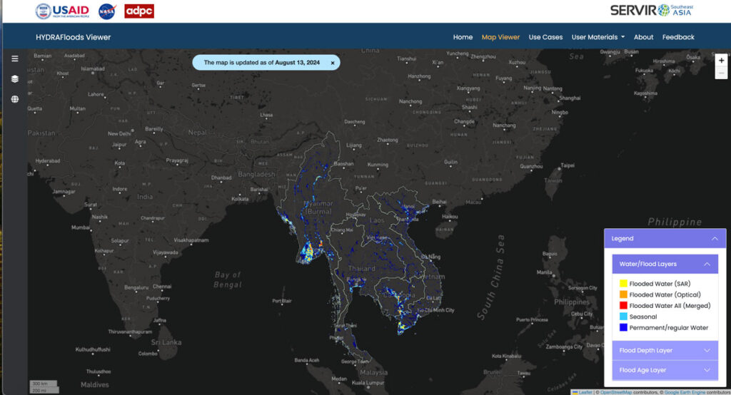
As part of SERVIR-SEA and with the Asian Disaster Preparedness Center (ADPC), SIG developed HYDRAFloods, public access flood monitoring software that detects flood events in near real-time through the use of satellite data. Artificial intelligence tools within Google Earth Engine make the program even better at detecting surface water levels, speeding up the process to keep people safe.
CoMiMo
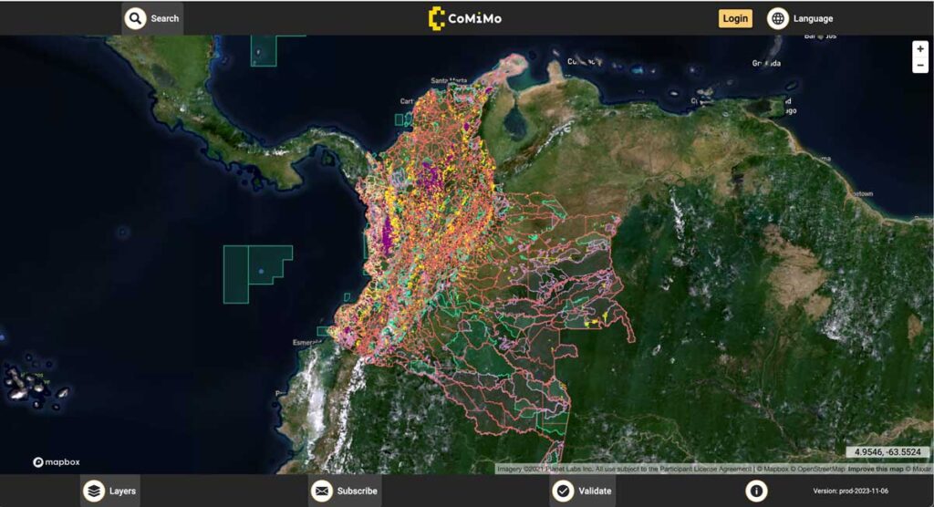
SIG co-developed software to remotely monitor gold mining activity in Colombia. Illegal mining is a driver of deforestation and this project aims to empower authorities to respond quickly and appropriately. CoMiMo, which is available for desktop in both English and Spanish, uses satellite imagery and artificial intelligence to identify threatened areas.

