Marin Jurisdictional Carbon Accounting
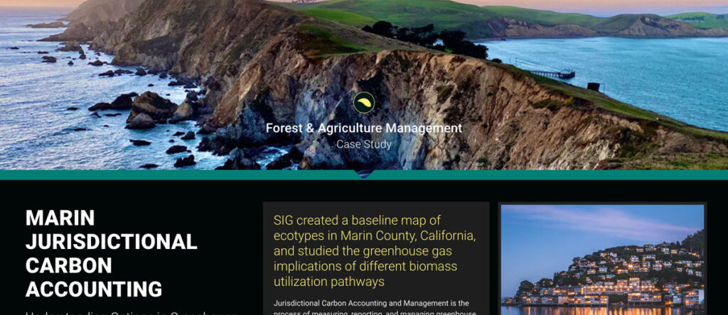
Jurisdictional Carbon Accounting and Management is the process of measuring, reporting, and managing greenhouse gas emissions and removals within a region. The Forest and Agriculture team has worked across the United States and in numerous other countries to measure greenhouse gas emissions and support decision making in order to limit carbon emissions.
Reduced Emissions from Megafires
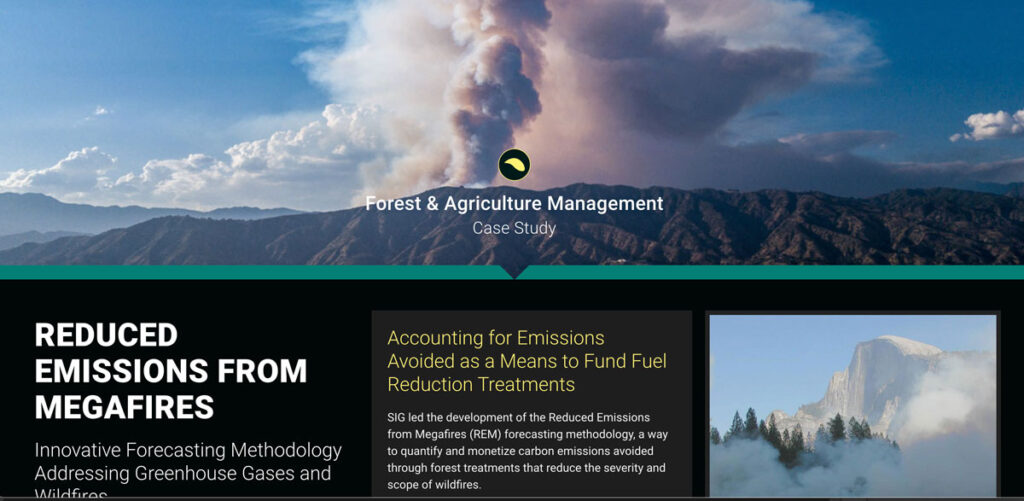
Wildfires in California are a serious and growing threat. SIG and the Climate and Wildfire Institute were chosen by the CA Wildfire and Landscape Resilience Taskforce to work in the Million Acres Strategy
Neural Network Crop Mapping in Cambodia
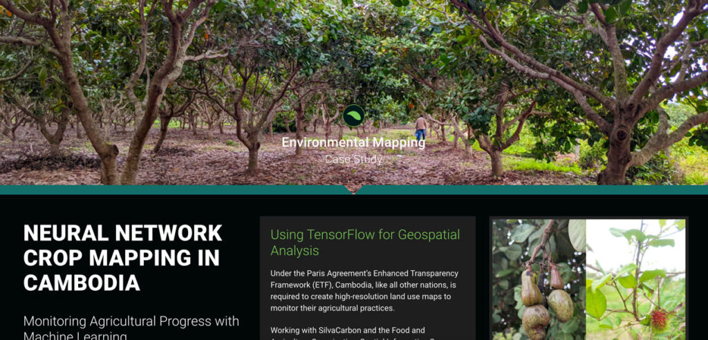
Under the Paris Agreement’s Enhanced Transparency Framework (ETF), Cambodia, like all other nations, is required to create high-resolution land use maps to monitor their agricultural practices.
Scenario Modeling for the Million Acres Strategy
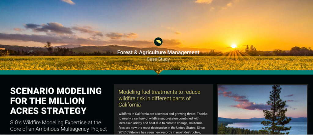
Wildfires in California are a serious and growing threat. SIG and the Climate and Wildfire Institute were chosen by the CA Wildfire and Landscape Resilience Taskforce to work in the Million Acres Strategy
Vermont Land Trust Aggregation
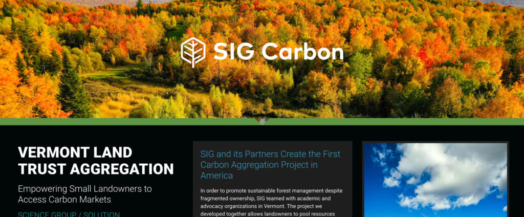
In order to promote sustainable forest management despite fragmented ownership, SIG teamed with academic and advocacy organizations in Vermont. The project we developed together allows landowners to pool resources and split transaction costs. With SIG taking on performance risk and covering project development costs, small landowners were able to enter the market without upfront out-of-pocket costs.
Developing Land Cover Mapping Technology for the KAZA Region
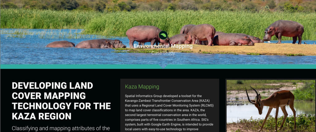
Spatial Informatics Group developed a toolset for the Kavango-Zambezi Transfrontier Conservation Area (KAZA) that uses a Regional Land Cover Monitoring System (RLCMS) to map land cover classifications in the area. KAZA, the second largest terrestrial conservation area in the world…
Coconut Suitability Mapping
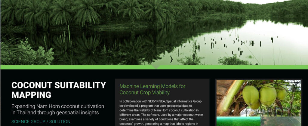
In collaboration with SERVIR-SEA, Spatial Informatics Group co-developed a program that uses geospatial data to determine the viability of Nam Hom coconut cultivation in different areas.
The True Cost of Wildfire
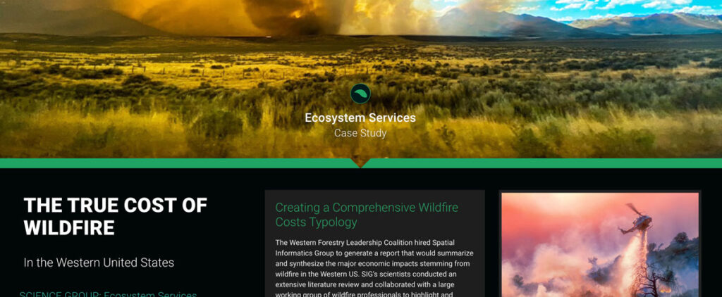
SIG’s scientists conducted an extensive literature review and collaborated with a large working group of wildfire professionals to highlight and document major categories of costs associated with wildfires
Ecosystem Services Valuation for Hawaii’s Largest Private Landowner
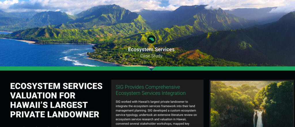
SIG collaborated with Hawaii’s largest private landowner to integrate an ecosystem services framework into land management planning. We developed a custom ecosystem service typology, conducted extensive literature reviews, held stakeholder workshops, mapped key landscapes, modeled connections between landscapes and beneficiaries, reviewed strategies for ecosystem markets, identified high-priority management strategies, and created indicators for landscape health and interventions.
Identifying Key Watershed Stewards in the American West
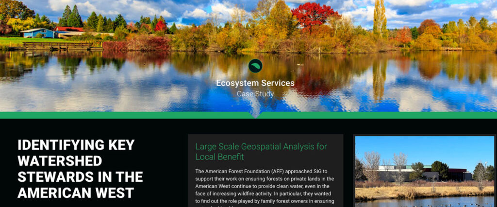
The American Forest Foundation (AFF) approached SIG to support their work on ensuring forests on private lands in the American West continue to provide clean water, even in the face of increasing wildfire activity. In particular, they wanted to find out the role played by family forest owners in ensuring watershed health.

