Developing Land Cover Mapping Technology for the KAZA Region
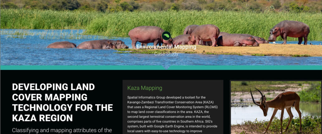
Spatial Informatics Group developed a toolset for the Kavango-Zambezi Transfrontier Conservation Area (KAZA) that uses a Regional Land Cover Monitoring System (RLCMS) to map land cover classifications in the area. KAZA, the second largest terrestrial conservation area in the world…
Coconut Suitability Mapping
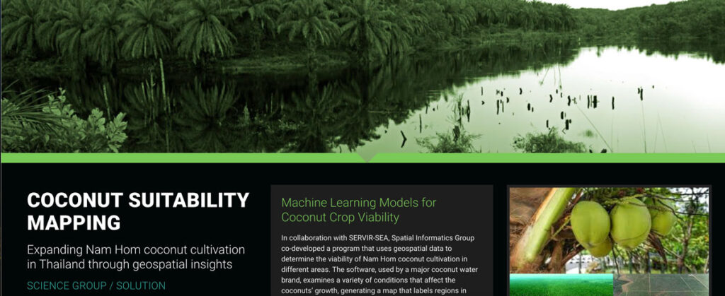
In collaboration with SERVIR-SEA, Spatial Informatics Group co-developed a program that uses geospatial data to determine the viability of Nam Hom coconut cultivation in different areas.
Improving Nepal’s Forest Change Estimation
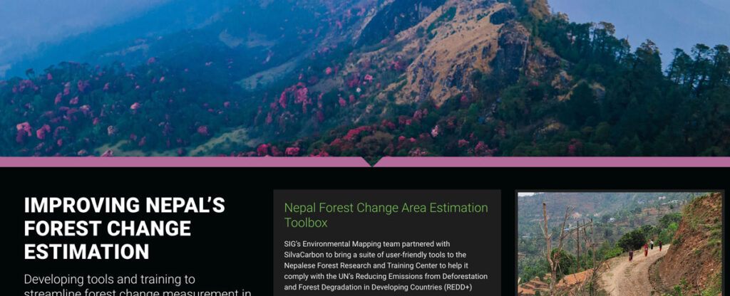
SIG’s Environmental Mapping team partnered with SilvaCarbon to bring a suite of user-friendly tools to the Nepalese Forest Research and Training Center in Nepal.