Carbon Credits with the White Mountain Apache Tribe
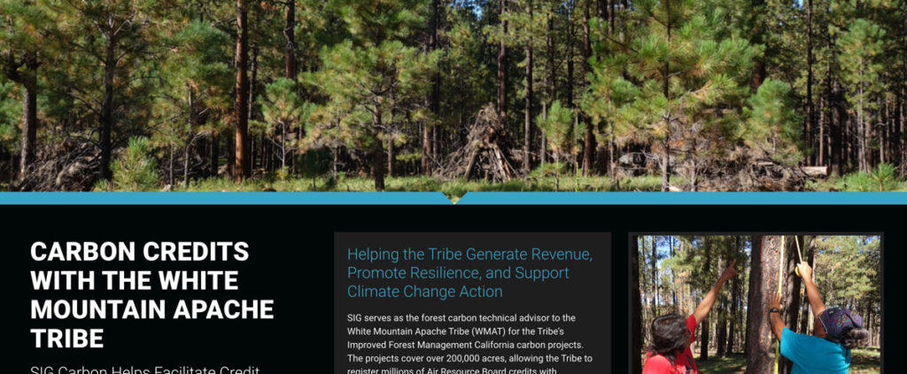
SIG serves as the forest carbon technical advisor to the White Mountain Apache Tribe (WMAT) for the Tribe’s Improved Forest Management California carbon projects.
Mapping the Off-Site Benefits from Protected Areas Ecosystem Services
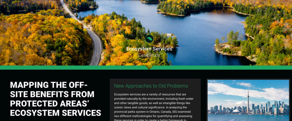
Ecosystem services include natural resources like fresh water and intangible benefits like scenic views and cultural significance. In analyzing Ontario’s provincial parks system, SIG examined two methodologies for quantifying and assessing these services to develop a better framework for evaluation
Sustainable Working Forests
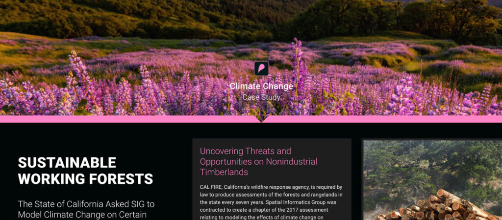
CAL FIRE, California’s wildfire response agency, is required by law to produce assessments of the forests and rangelands in the state every seven years. Spatial Informatics Group was contracted to create a chapter of the 2017 assessment relating to modeling the effects of climate change on California’s 32 million acres of forest.
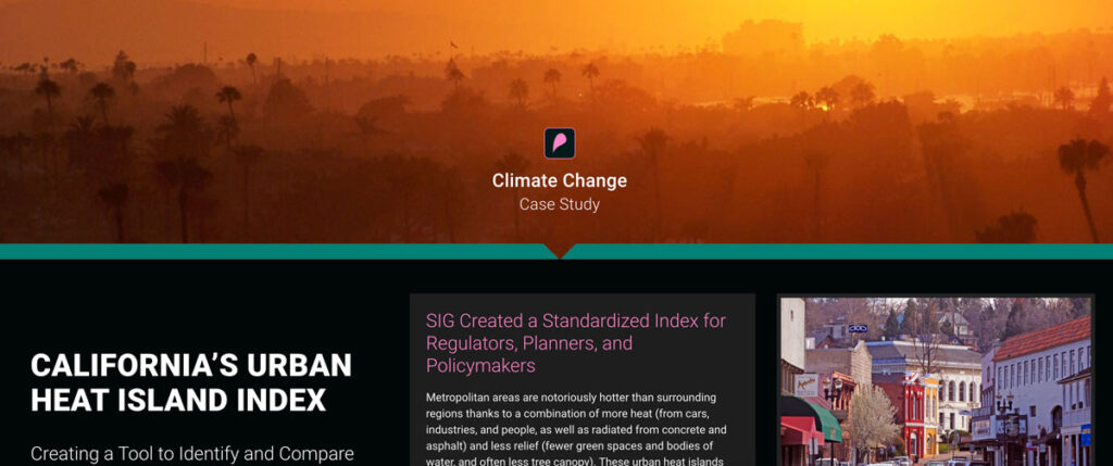
California’s Urban Heat Island Index
CAL FIRE, California’s wildfire response agency, is required by law to produce assessments of the forests and rangelands in the state every seven years. Spatial Informatics Group was contracted to create a chapter of the 2017 assessment relating to modeling the effects of climate change on California’s 32 million acres of forest.
Improving Nepal’s Forest Change Estimation
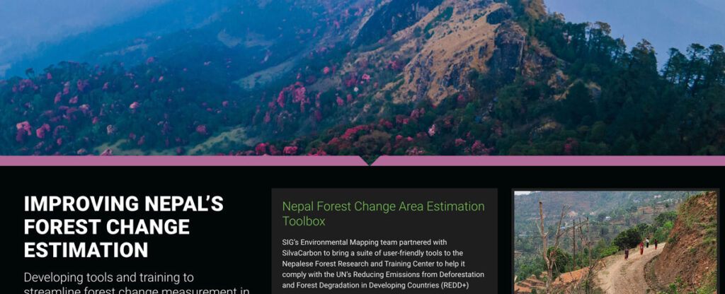
SIG’s Environmental Mapping team partnered with SilvaCarbon to bring a suite of user-friendly tools to the Nepalese Forest Research and Training Center in Nepal.
Washington Rainforest Renewal Project
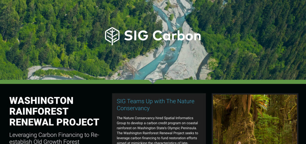
The Nature Conservancy hired Spatial Informatics Group to develop a carbon credit program on coastal rainforest on Washington State’s Olympic Peninsula. The Washington Rainforest Renewal Project seeks to leverage carbon financing to fund restoration efforts aimed at mimicking the characteristics of late-successional forests.
