Climate Change

Case Study

California’s Urban Heat Island Index

Creating a Tool to Identify and Compare City Heat

SIG Created a Standardized Index for Regulators, Planners, and Policymakers

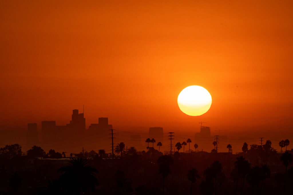
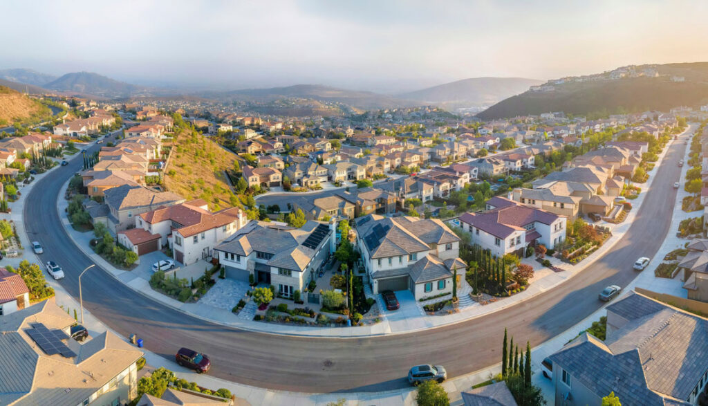
Metropolitan areas are notoriously hotter than surrounding regions thanks to a combination of more heat (from cars, industries, and people, as well as radiated from concrete and asphalt) and less relief (fewer green spaces and bodies of water, and often less tree canopy). These urban heat islands can lead to poor air quality, increased ozone, more energy consumption, and general discomfort–all of it resulting in negative effects on human mental and physical health.

No Comparison

But there was no standard way to quantify urban heat islands in California, or to compare them across different metropolitan areas. There was no index and no maps showing where and how intensely urban heat islands were appearing.

California Urban Heat Island Index
Urban Heat Island Index

Urban Heat Island Index - a Useful Tool

California’s Environmental Protection Agency (CalEPA) asked Spatial Informatics Group and our partner Altostratus to develop an Urban Heat Island Index (UHI) for the State of California.

The objective was to create a tool that can be used in a range of applications: as an additional layer of information on existing tools, helping to identify disproportionately impacted communities; as a way to pinpoint potential energy savings, air quality improvements, and GHG reductions from urban heat island mitigation measures like increasing green space and planting trees; and as a method of discovering potential public health implications for urban heat islands as well as options for mitigation through better building design and urban planning.

Modeling the Entire State

Altostratus and SIG created a comprehensive, detailed, multi-scale atmospheric modeling and mapping study that included fine resolution meteorological and urban vegetation modeling of urban heat islands using studies developed at city or census block scale. We modeled the entire State of California using mesoscale and meso-urban models, with fine scale models applied to select urban areas. Then we translated the data into an Urban Heat Island Index, tailor made for decisionmakers at CalEPA, city and regional governments, and California regulatory bodies.