Case Study
Since 2006, when California published its first climate assessment, the state has been leading the nation in climate change preparation. In 2018, when the State of California was looking to prepare its Fourth Climate Assessment, the California Natural Resources Agency tapped Spatial Informatics Group to serve as author and coauthor of two of the reports that went into the assessment.
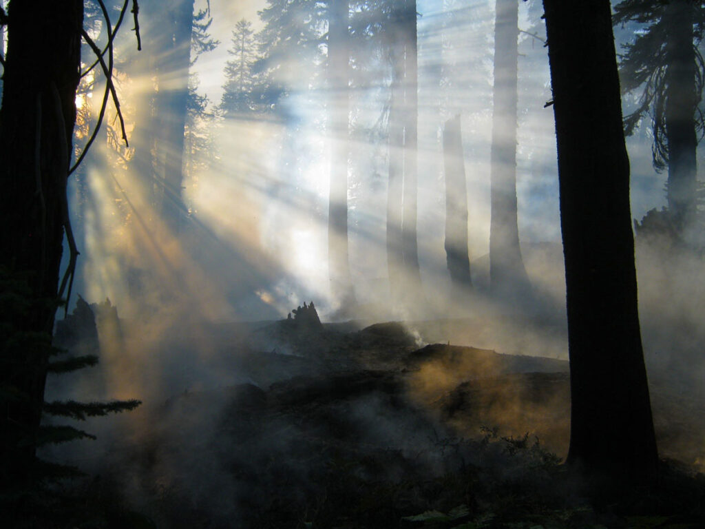
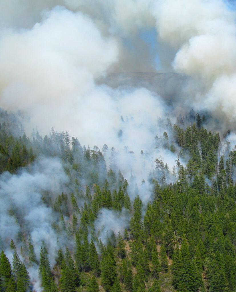
Forest ecosystems in California contain some of the highest densities of carbon in the world, yet they have been experiencing net aboveground carbon loss thanks to massive wildfires. As climate change progresses, wildfires are expected to become larger and more frequent, trends that are already evident.
SIG’s major contributions to California’s Fourth Climate Assessment were the reports Fuel Treatment for Forest Resilience and Climate Mitigation: A Critical Review for Coniferous Forests of California and Innovations in Measuring and Managing Forest Carbon Stocks in California.
In the first, SIG reviewed current knowledge about the effects of fuel treatments on stored forest carbon, wildfire risk and wildfire emissions in California’s forests. We identified gaps in geospatial data required for informed fuel treatment decisions that both increase forest resilience and carbon sequestration. In addition to supporting the Assessment, the report provides a scientific basis for developing carbon offset methodologies that could generate revenue to implement beneficial climate projects in California, protecting California’s climate, economy and health.
In the second report, SIG’s scientists evaluated the performance of an emerging methodology for measuring forest carbon. The methodology combines Landsat satellite imagery with forest inventory data using gradient nearest neighbor imputation (LT-GNN) to measure aboveground live tree biomass across multiple spatial scales. We found the approach to be promising at large scales (county and larger) but in need of several improvements to make it useful at finer scales as well.