Pyregence Webinar Series

Please join us as Dr. Chris Lautenberger presents the latest features and functions of the PyreCast near-term fire forecasting platform developed as part of the California Energy Commission EPIC program funded Pyregence Project (#EPC-18-026).
Approved: SIG’s Methodology For Estimating Reduced Emissions From Megaffires
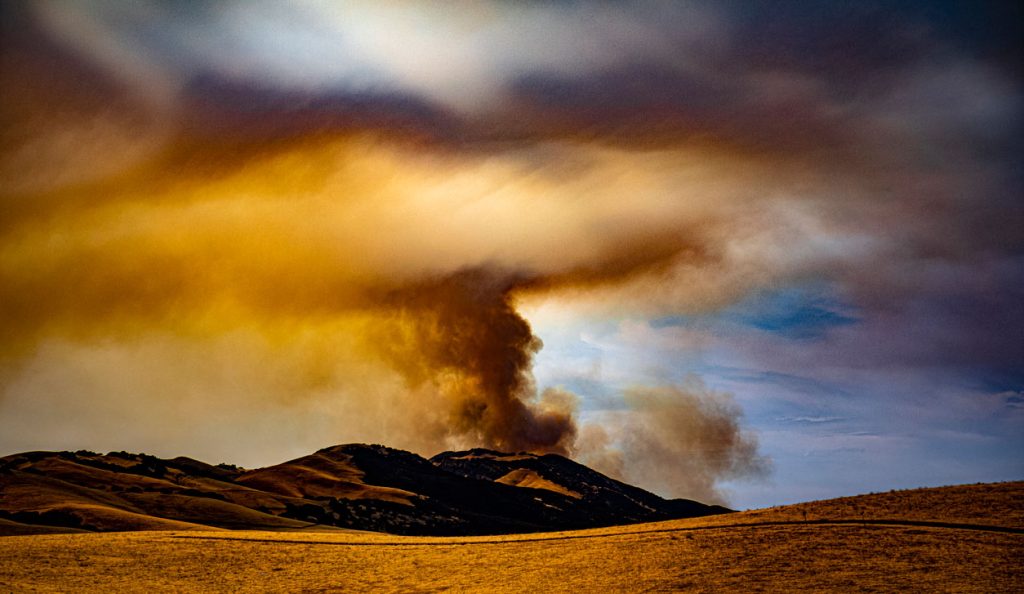
In March, the Climate Action Reserve’s Climate Forward program approved SIG’s Reduced Emissions from Megafires (REM) forecasting methodology. This methodology provides a novel mechanism for funding essential forest health projects by generating Forecasted Mitigation Units (FMUs) for greenhouse gas (GHG) emissions avoided by reducing the risk of catastrophic wildfires. Such funding will pave the way for reducing fuels and increasing forest resilience.
What Communities Can Do To Improve Their Wildfire Resilience
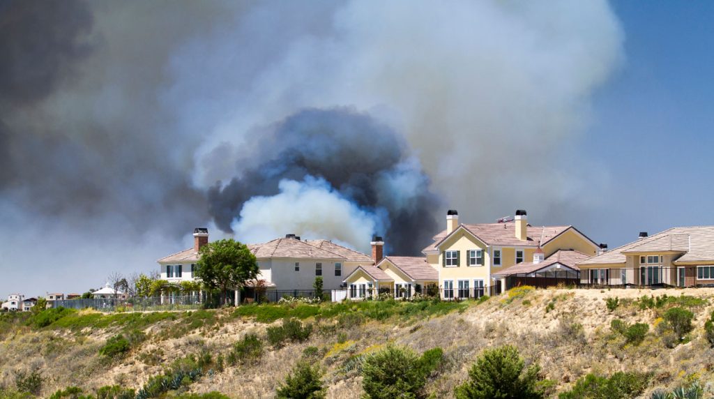
After visiting conferences throughout the last year, SIG-NAL’s Executive Director, Graham Wesolowski details his experiences initiating a Regional Wildfire Mitigation program:
Land Trusts In Northeastern U.S. Can Enroll In The Carbon Market And Become Future Ancient Forests

Northeast Wilderness Trust (NEWT), SIG Carbon, and the Inlandsis Fund have teamed up to create an exciting new forest carbon aggregation initiative called Wildlands Carbon. Land trusts across the Northeastern United States
Mapping Forest Degradation In Nepal With Remote Sensing

Under international climate change agreements, countries must estimate greenhouse gas emissions related to deforestation and forest degradation.
In cases of deforestation—when trees are cut and replaced by annual crops, for instance—the change in land cover is clearly visible. Forest degradation, by contrast, is more subtle. Trees are lost but the land remains forested and often recovers quickly—making the changes hard to detect.
Predicting The Future Of Wildfires? It’s Complicated
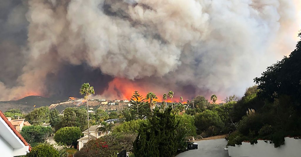
This week, many large media platforms ran front-page or lead stories on the launch of Fire Factor, a new wildfire prediction tool by First Street Foundation that lets property owners look up their predicted wildfire risk based on address.
SIG Works With Google And Other Partners On New Tools That Democratize Offline Mapping

Spatial Informatics Group (SIG) contributed to a fascinating mapping project described in a new post on the Google Earth and Earth Engine Medium page.
Google partnered with CIAT, SERVIR-Amazonia, SIG, and other groups on two pilot projects involving Ground, an open-source data platform that works offline—crucial in areas without wireless service—and also seamlessly connects to cloud-based storage and computation. The platform consists of an Android app for offline data collection and a web app for data management.
Can You Fight Climate Change By Burning Wood? It’s Complicated
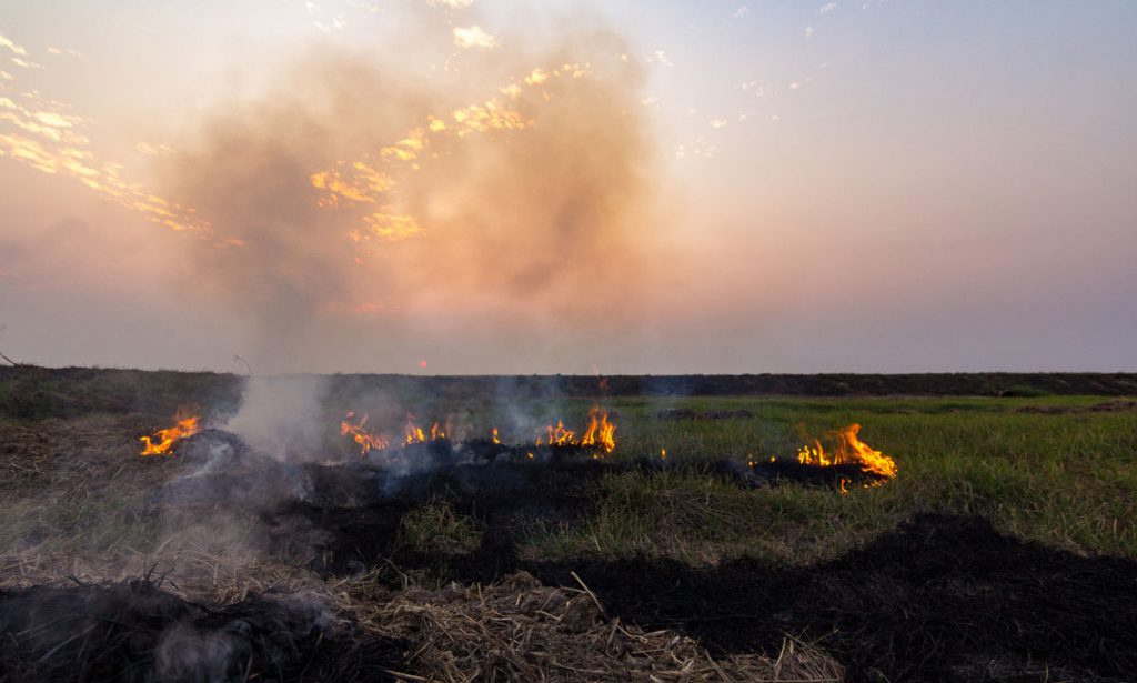
Wood grown in the United States is being ground up, dried out, pressed into pellets, and shipped to Europe, where power plants burn it to make electricity.
Is this good for the planet?
Pyregence Launches New Forecasting Tool For Tracking Active Fire Spread
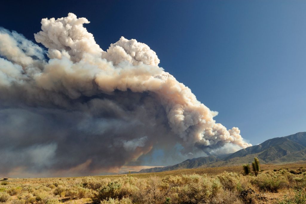
Firefighters in California battle 775,000 acres of fires from dry lightning. SIG built Pyregence, a wildfire forecasting tool
With Biomass Energy, The Carbon Savings Are In the Details

Biomass energy, Michael Moore’s new documentary Planet of the Humans faces criticism from environmentalists for using outdated data and simplistic analyses on renewables.
